Trip Report
Thornton Lakes and Trappers Peak — Friday, Apr. 17, 2015
 North Cascades > North Cascades Highway - Hwy 20

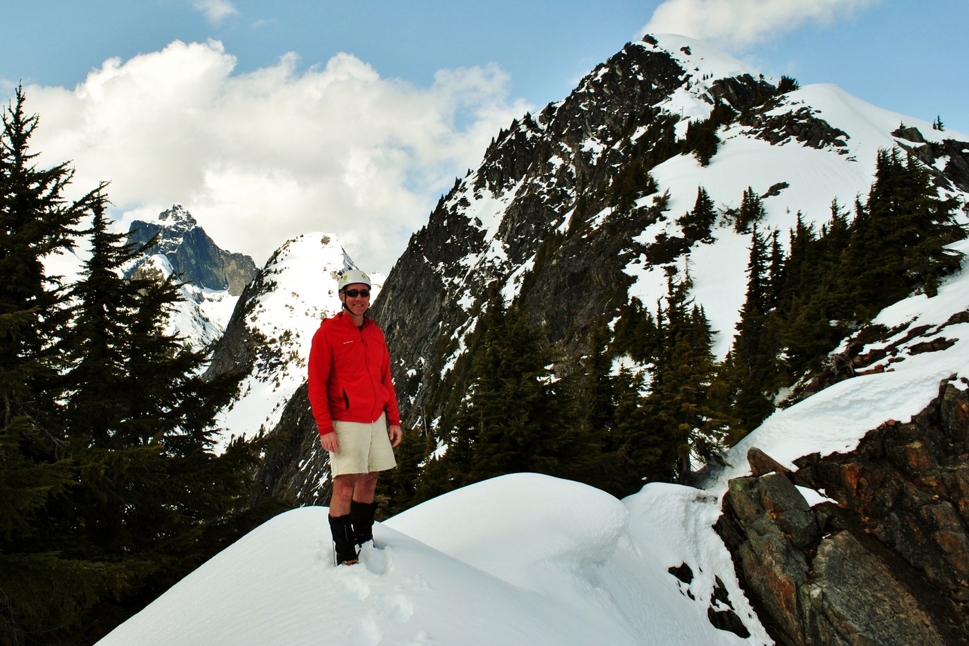
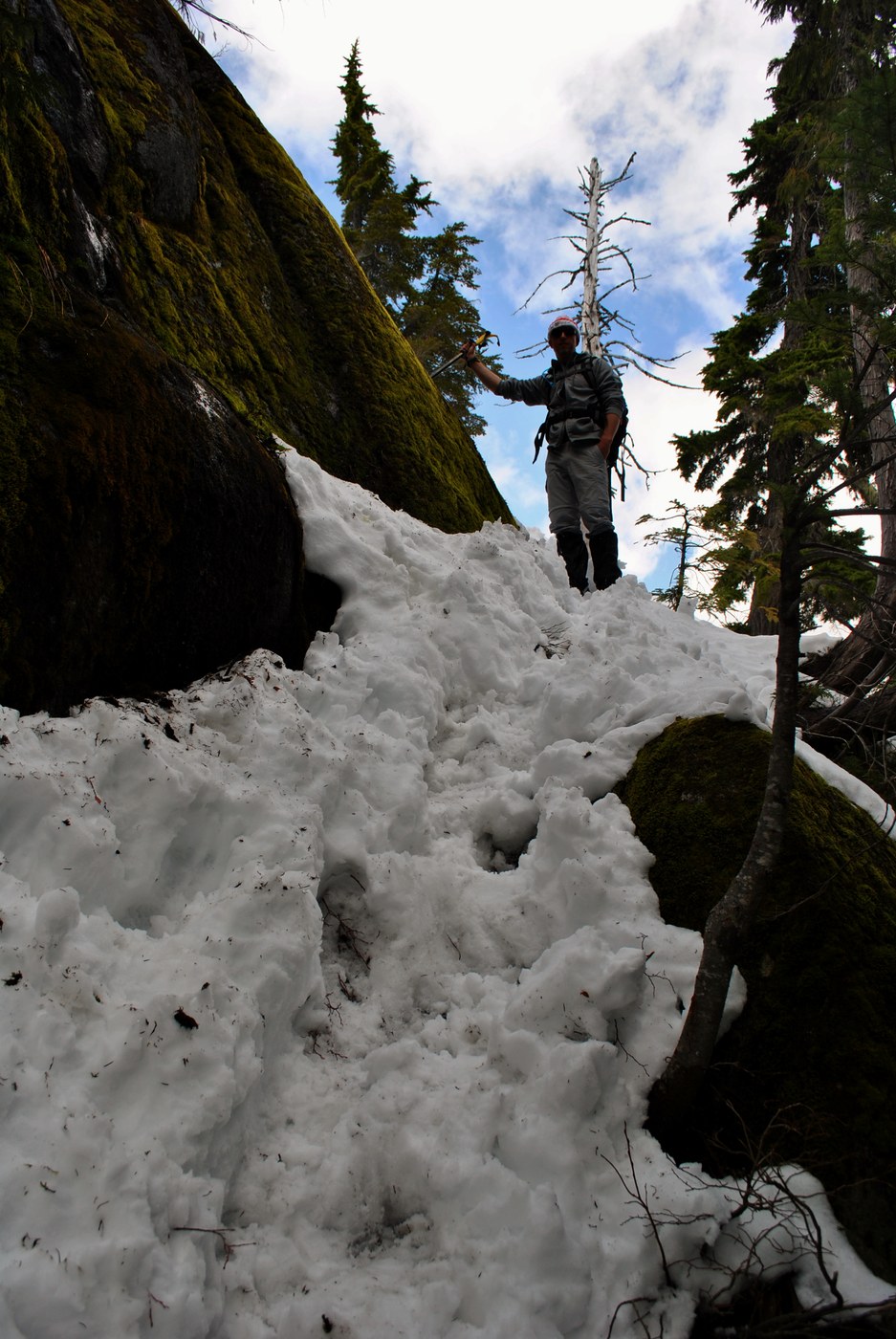
The hike along the abandoned road for the first couple of miles of the trail was straight forward. We started encountering snow not too much beyond this point. We did pass some muddy sections and a few areas with fallen trees but these were easy to get around. Later on, the trail became difficult to follow as the snow got deeper and we got off route a bit but did find our way to the ridge. We had to traverse the ridge to get to the spot where the post with the arrow to Trappers Peak is located (where the regular trail crests onto the ridge). In the ridge traverse to get to the post, we were routinely post holing to our knees with occasional plunges to our crotches or waists. From the post, we ascended the ridge stopping about 500' below the summit. With the soft snow, some cornices present, and with the steep ascent/descent involved with going to and returning from the summit, we decided that we had gone far enough and stopped for a nice lunch break before turning around. We did bring ice axes and crampons but not all of us used them.


Comments
Photo caption amendments
The captions are not linked with the right photos for shots 2, 3, and 4 and not sure how to fix it. Photo #2 above is Matt and Bill with Trappers Peak, photo #3 is me with Mt. Triumph, and photo #4 is Matt descending our off route section.
Posted by:
doctordave on Apr 18, 2015 12:26 PM
Editing
To edit, first sign in with password. Open report and click edit tab in left upper corner of page.
The Picket photo is beautiful!
Posted by:
Maddy on Apr 18, 2015 05:48 PM
Thank you
Edited and the captions match the images.
Posted by:
doctordave on Apr 19, 2015 03:14 PM