Trip Report
Pacific Crest Trail (PCT) Section I - White Pass to Snoqualmie Pass, Crow Lake Way, Basin Lake, Big Crow Basin & Union Creek — Friday, Jul. 19, 2013
 South Cascades > White Pass/Cowlitz River Valley

The trailhead for this hike is found on the north side of 410 right after you cross under the log overpass (shortly beyond Tipsoo Lake). We shuttled cars to the endpoint about a mile past Pleasant Valley campground (milepost 81.5) on the north side, signed for Fifes Viewpoint and this worked very well.
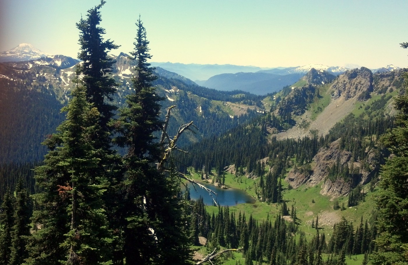
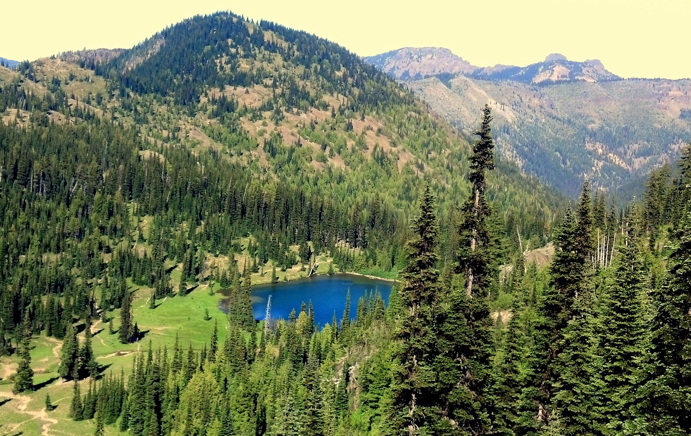
The first 8 miles or so of this trail is a fabulous ridge ramble - flowers continue to emerge in bright splendor and views are wide and dramatic. There is no longer a snowfield to cross beyond Sourdough Gap. Watch the signs for successive trail junctions at Bear Gap, Fog City Trail and then just below Crown Point. We turned off the PCT where the Union Creek trail turns north - look for the sign for Union Creek trail just beyond the sharp left hand turn on the PCT below Crown Point, and angle right to descend along the steep slope. This trail has been severely damaged by lots of horse traffic under wet conditions, and in places is sloughed off down the steep hill with barely a tread left. After about a mile of those terrible conditions the trail levels into pretty Cement Basin, with small meadows and groves of trees. A group of elk were spotted in the distance and we passed a group of cows and juveniles in the trees (making funny little mewling noises!). There is a steep climb up from the basin to a high saddle, then a steep descent into the Lakes Basin. After the saddle just look for unsigned side trails going down into the basin, and another turn to continue downhill to the lake. Camps around the trees are horse-damaged but enough flat spaces were found near the fire ring on the nearside of the lake to make a good camp for our group of 7 (5 tents). There was also a camp on the far side of the lake, but it was forested and buggy. Flowers were lovely in the basin and there was a group of about 10 goats climbing around on the crags above us. Total of about 11 miles on this day. In the future, I would recommend staying on the PCT beyond Scout Pass and descending from there to Basin Lake - the Cement Basin trail has lots of climbing and descending and much of the trail is in poor condition.
Day 2 we climbed back up to the PCT on the same trail and turned right to continue under Norse Peak. A few of us did the easy walk-up through flower fields to the top following a gully going up from the PCT - excellent views, highly worth it. After descending it was just a couple of miles to a well-signed junction with the Crow Lake Way trail going east. This trail followed the creek through meadows for a short while, coming to a ramshackle shelter with great camps about a half mile from the turnoff. Then we entered forest and descended, sometimes right next to the creek and sometimes away, for about 5 miles. Much blowdown and horse damage on this trail. Periodically the way passed through pocket meadows with no obvious sign of trail, but if you looked carefully you could see the trail going back out the other side in the trees. Several crossings of the creek, getting more and more tricky as we got toward the bottom. Logs and rock-hops were possible but some were a bit more treacherous than I liked. However the group made their way safely across. As we reached the bottom, the combination of heat and vast mosquito populations made the walk miserable. We took a right at a sign near Crow Lake (signed Crow Lake Way) to continue our loop, and from this point the trail climbed steeply, continuing to be extremely buggy. Openings with breeze didn't appear until about 4 miles past this turnoff, beyond the junction with the side trail the Sheepherder Lake...and the openings were fairly small without sufficient water for camping. (Perhaps water in this area is more plentiful early in the season, but we had a tough time finding any. Sheepherder Lake was noted by others as being buggy and we could believe it.) Finally the trail descended a short way to a modest-sized meadow with a small stream; crossing this meadow to the right from the trail there is a nice camp in the trees, and we set up there for the second night under a crag which was home to more goats. This camp remained seriously buggy despite a nice breeze.
The next morning we finished the climb to the top of a gravel bald with broad views of the American Ridge to the south, and a walk-up ridge to the east which probably would have provided excellent views to Fifes Peaks. However the group was on a roll and we continued with our sights set on reaching the cars early. After the gravel bald the trail began to descend, gradually at first and then down steep switchbacks about 4 miles to the trailhead. More horse damage all along this section as well.
I would not rate the loop worthwhile to repeat as we took it. By all means go to Basin Lake and perhaps ramble on to Big Crow Basin, perhaps making a loop of it leaving a car at the Norse Peak trailhead or elsewhere near Crystal Mountain. However Crow Lake Way had very little appeal to make up for the poor condition of the tread and the serious mosquito populations.


Comments