Trip Report
Desolation Peak, East Bank Ross Lake & Happy-Panther — Sunday, Jun. 30, 2013
 North Cascades > North Cascades Highway - Hwy 20

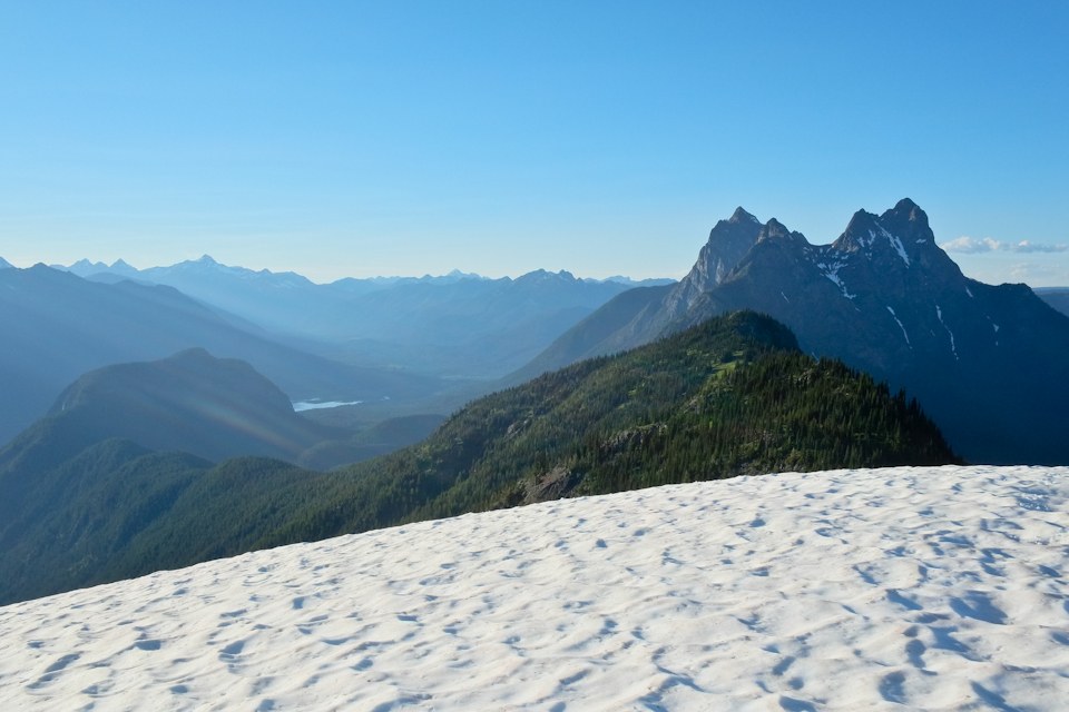
Beautiful views from Desolation Peak. Definitely in my top 10, and possibly my top 5. You work for it, though. The trail is steep, and it was about 85 degrees when we went up. As Craig Romano mentions in Backpacking Washington, there is a small stream a mile or two before Desolation Camp. The way I read the book, I expected the water source to be present year-round. After seeing it, though, I'd be surprised if it's there for much longer this year. There were still a few patches of snow on Desolation Peak, but not much, and not enough to pose any navigation or footing problems.
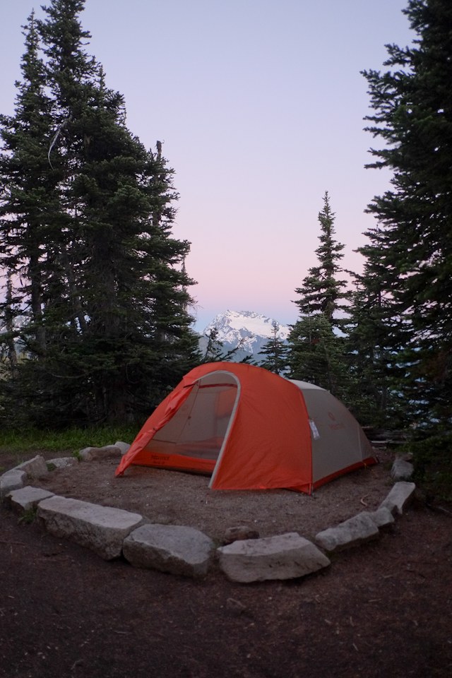
Desolation Camp was pretty nice, though we did have some minor issues with wildlife. Bear Cans are required at that camp. We tied our can to a tree, to make sure that some animal didn't knock it down the side of the mountain. In the middle of the night, we heard an animal messing with the bear can. In the morning, I found the rope chewed into two pieces, with both pieces being thoroughly damaged. Luckily, the rope was enough to keep the bear can from walking away. I also was awakened periodically by a mosquito buzzing right next to my ear on the other side of my tent's mesh. I was glad to have a tent and not a tarp at this camp.
The next day we hiked south to Devil's Junction. We only saw a few day hikers on the way to camp. That section of the trail isn't particularly interesting, though I admit that I was distracted by the heat wave that we were having.
Devil's Junction boat camp apparently has 3 sites. One of them is right on the lake with a nice large ad level tent pad, a dock, a nice beach, a bear box, and an outhouse. The other one is down a trail with numerous blowdowns. The tent spot is on a rocky bluff overlooking the water. It's almost big enough to stake a 3 person tent. I made it work by substituting rocks for stakes in 3 places. The rocks retain a lot of heat, so we had to stay up for a while and wait for the tent to cool down before we could go to sleep. I'd never slept with the fly off before, and will say that it was pretty awesome to wake up in the middle of the night and see the big dipper.
The next day we got up really early so that we could get in as many miles as possible before the trail heated up. We hiked south to Hidden Hand group site. The trail between these two sections was nice for a few miles, but then turned inland again. This was also the only time when we had to cross a river without a bridge. Fortunately, there was a nice wide log to cross on.
Hidden Hand group site is not the most beautiful site. It's dusty, and the forest is thin and doesn't provide much shade. There is a nice little stream to get water from. The camp is divided into tent areas and cooking areas. The cooking area is much nicer, and I'd suggest hanging out there and only returning to the tent area when it's time to go to bed.
All of the camps that I stayed at had pit toilets or out houses.
On the last day, we hiked south again until we hit highway 20, and then hiked on the Happy Panther trail until we got back to the Ross Lake Resort trailhead. Happy Panther was actually a pretty nice trail. Much nicer (and quieter) than I expected for a trail that runs parallel to a highway.
While there was some pretty nice scenery, I'm not sure that there was enough to justify 32 miles of hiking. There was plenty of solitude, though, and the lakeside camp sites can be pretty nice.
I think the trail was in good condition. I don't remember any problems with bugs or blowdowns - just heat.


Comments