
Type of Hike
Day hikeTrail Conditions
Obstacles on trail:Muddy or wet trail.
Snow
Snowfields to cross - could be difficult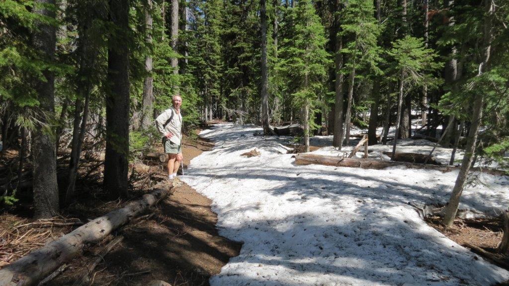
This hike takes you into the heart of the Blue Mtns. It is 34 miles to the trailhead from Dayton and took about 1.5 hrs. My husband and I saw no other cars or persons after leaving Dayton. The road in is long but was in good condition. It looked like someone had been through recently clearing debris.
This hike starts at the Teepee Trailhead and although the directions to get to the trailhead are accurate in the WTA Trail guide, there are no signs by the Godman station and the road from there was 6 miles (not 5) to the trailhead. The total mileage to Oregon Butte from the trailhead is around 3 making the hike a 6 mile roundtrip NOT 3 as is listed in the WTA hike guide. It is about 2.25 to Oregon Springs and then another .75 to the top. The climb elevation to the springs is 1237 ft and it would be 1580 to the lookout.
There are no trail markers at all.
The day was warm and sunny which made for temperatures in the 60's in the forest and 70's along the ridges. The trail had a lot of snow patches which should be gone in another few weeks. The trail was easy to follow even with the mud and snow. We saw a lot of animal prints - deer and elk and ? - we thought cougar or bear and then wondered what we would do. It did not help that there is a Grizzly Bear Ridge and Cougar Creek nearby (and did I mention no other people).
Flowers are just starting with avalanche lilies all along the way. We got good views on the West Butte especially looking SE to the Eagle Cap Wilderness. Since we had gotten a late start (arriving at TeePee trailhead at 2) and the snow was slowing us down, we decided to call it quits at Oregon Springs. I think if we had left earlier it would have been no problem to get to the top. You can see in the picture of the lookout that the ridge is clear of snow.
A great day.


Comments