Trip Report
Silver Star Mountain - Ed's Trail, Silver Star Mountain — Wednesday, Jul. 14, 2010
 Southwest Washington > Lewis River Region

We had an excellent trip with Friends of the Gorge (despite some confusion with the car caravan). Be sure you take a map with you and be ready for some rough roads with large water bars. Low clearance vehicles will have to go very slow and may bottom out.
I found a great map at this DNR website: http://www.dnr.wa.gov/Publications/eng_rms_tarbell_06_full.pdf
You can also use the DNR map to navigate on a smoother gravel road. Take Dole Valley Road south and get on L1100 which intersects 4109. Then you are on the gnarly 4109 for about 1/2 the distance and the usual driving route. Don't try this without a good map or you'll get lost on the maze of DNR logging roads.
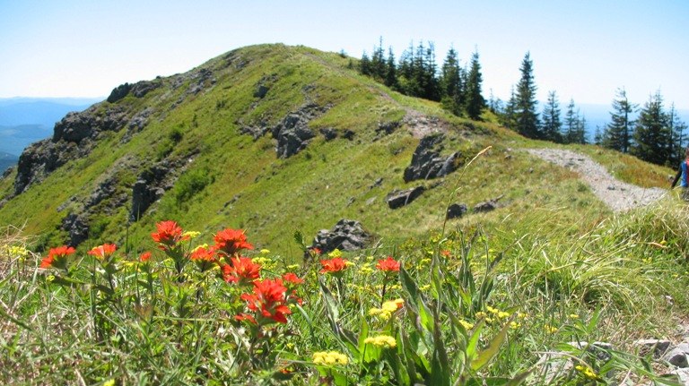
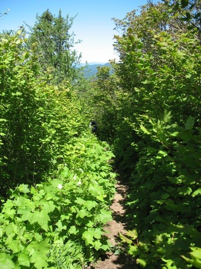
Once on the trail, all the troubles with cars and bumpy roads were forgotten, replaced with incredible vistas, snowcapped peaks and an incredible display of wildflowers. He hiked up Ed's Trail on the way up (180A) and returned on the Silver Star Trail (180). I prefer going up on Ed's trail as the rocky scramble is easier going up, than coming down. The Silver Star Trail is actually an old road grade and its surface is rocky. Hiking poles are nice to keep your feet under you as some of the rocks are about the size and shape of baseballs.
We departed the Trailhead around noon and finished up about 4:00 pm, taking our time to check out the flowers and pose for pictures at the rock arch.


Comments