Trip Report
Kettle Crest North — Wednesday, Jul. 8, 2009
 Eastern Washington > Okanogan Highlands/Kettle River Range

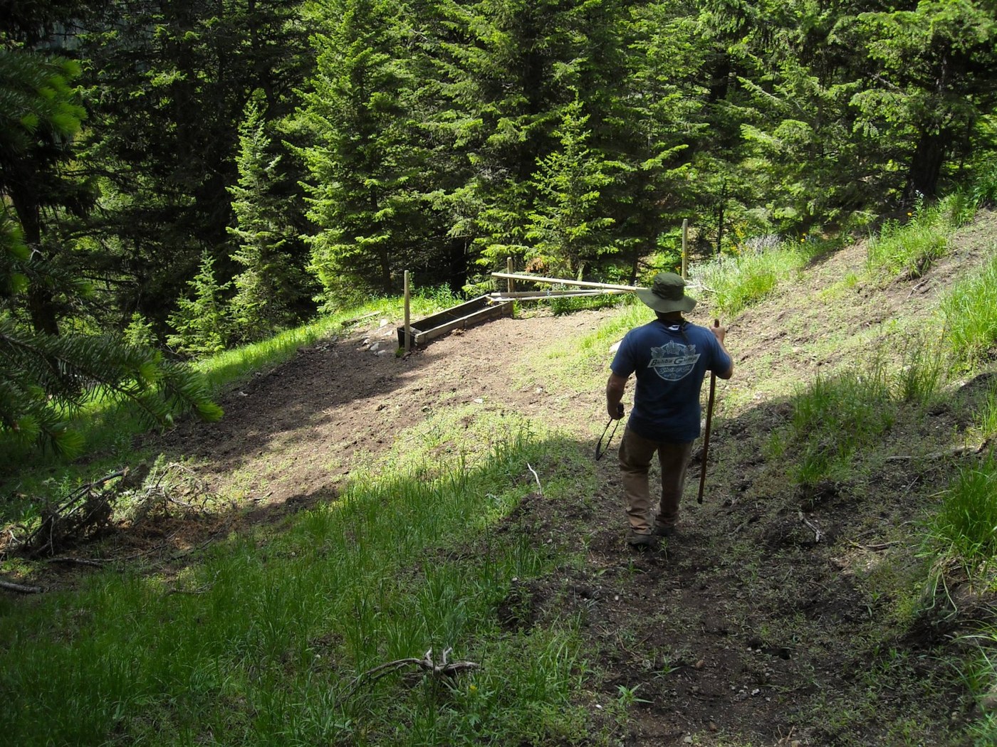
Our Hike began at the Kettle Crest Trail #13 trailhead, on Sherman Pass. The trail is excellent this time of year, with plenty of good water. The 1st water source is only 2 miles in, almost across from the Columbia Mountain Loop trail. This photo shows my brother-in-law, Richard, headed down the side trail to the stock tank that the white PVC pipe drains into. This water is so cold, you can't keep your hand under it...it's AWSOME! A good place to drink your fill and fill your bottles. By the way, in the 1st 11 miles, there are 4 good water sources, so you don't need to carry a lot on you.
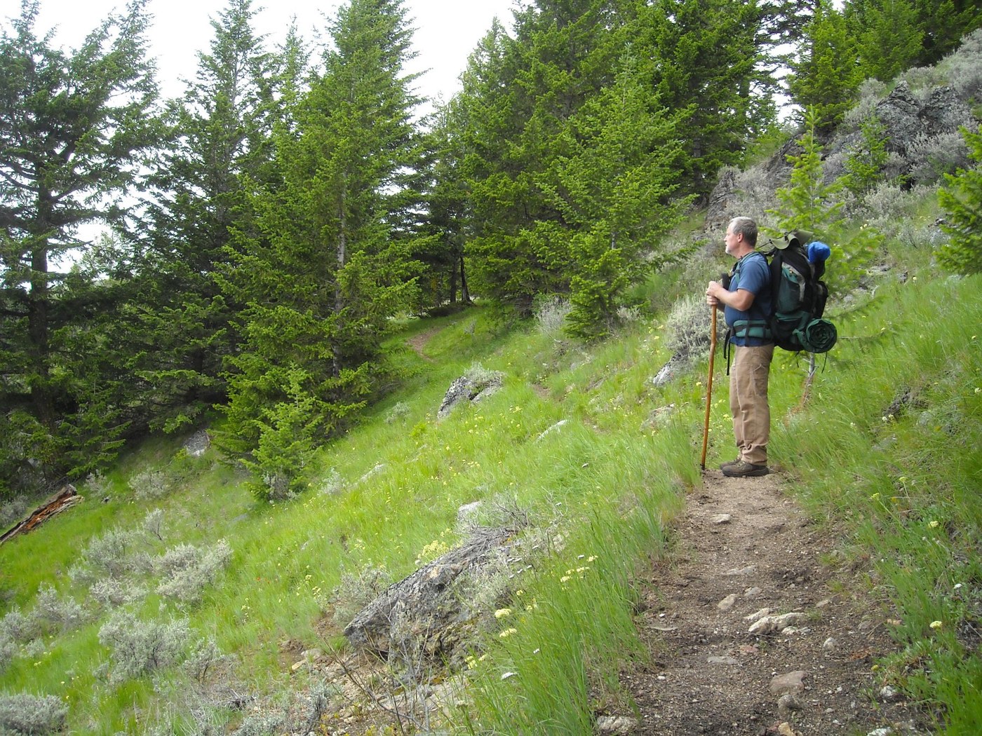
Not many places to camp along the trail, as it is cut into the side of the mountains most of the time, so it is steep above and below(Photo below left) as you hike. But there are VERY GOOD campsites that you come to every 2-3 miles. When you come to one you like, don't pass it up in hopes that there is another 'just around the bend'. It doesn't work that way here.
We stayed the first night on Jungle Hill, and found a nice flat spot above the trail just before the switchbacks begin.
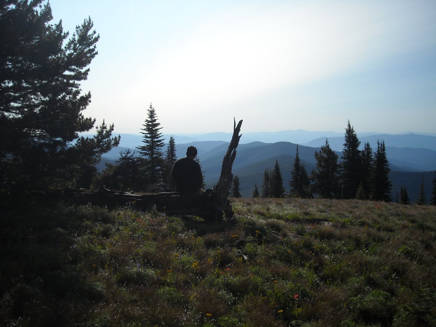
We spent the second night on Walpaloosie Mountain.....now THERE is a nice spot! At 6883 feet, there is a log right by the trail on your left. Take your pack off, sit back and relax! The view is AMAZING!!! The wildflowers are out in droves!(Photo below right) Also, walk around a bit behind the 'sitting log' (Photo below center) and you will find a few CHOICE camping spots....including where we camped.
We left the trail by way of Marcus Trail #8, to the West, which is not advised. That trail hasn't been taken care of in 16 years, past the 1st water source. I know this, because the fiddle player in my band grooms these trails. Also, most people would have trouble even finding the trailhead....unless you happen to know the fiddler....
We had no choice, however, because I developed a problem with my right knee, and the other choice was to start up the switchbacks to Copper Butte. That would have been a real mistake.
**One note to everyone:
If you are low on water at this junction of Marcus #8, drop your pack and take just your water bottles West on this trail for a half mile. It's a very gradual slope and easy to reach the good water source there. You'll want enough water to make it up Copper and down the other side. The next good water is about 4 miles ahead, down Lambert Trail #47 about a mile.
So Richard and I will continue our Kettle Crest TREK in Fall, when we plan to do the next 11 miles.....the date is not yet set for this hike.
If you would like to see over 50 pictures and some videos of the 1st 10-11 miles of the trail, look here:
http://n7gcwtrek.weebly.com/on-the-trail-photos.html
Edison Shaw
n7gcw


Comments