


I arrived at the Whistle Lake parking area around 8:30 to meet my hiking group and there were a few other cars in the lot already but they all belonged to people in my group. There is no privy available in the parking area, but there is one about .3 miles south of the parking area on Trail 20, and it is in decent shape. You do not need a pass to park in the Whistle Lake parking area.
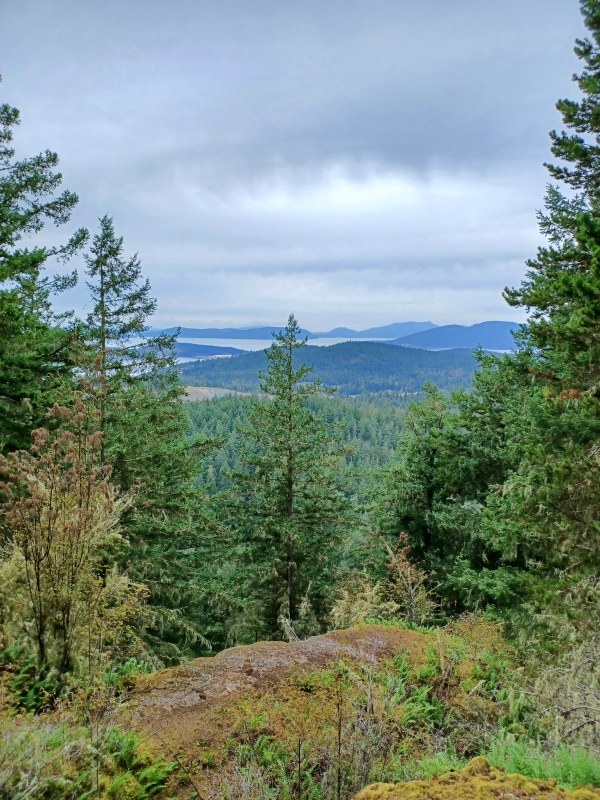
From the parking area, our outbound route was Trail 20-->Trail 27-->Trail 202-->Trail 231-->Trail 300-->Trail 21-->Trail 226--Trail 225-->Trail 215 to the summit of Sugarloaf. We spent some time taking in the views to the west and south while taking a break for snacks and water. From the summit, our inbound route followed Trail 226-->Trail 230-->Trail 207-->Trail 21-->Trail 204 along the west shore of Whistle Lake-->Trail 20-->Trail 237 to the parking area. We arrived back at the parking area around 1:30 and Strava measured the route to be around 6.4 miles.
All of the trails we hiked are in good shape with no blocking obstacles to report. There are lots of spots on this route with rocky areas, but everyone in my group had trekking poles so these areas did not give us any problems. This route also has enough up and down to get your heart rate up but it is never too steep for too long. Fall colors are starting to come out as well. For the most part, we had the trails to ourselves with the exception of passing a few groups after our stop at the Sugarloaf summit.


 Length
 Elevation Gain
Comments