


We arrived at the parking area near the trailhead around 11 AM today and there were still some spots available. Parking is limited along Mountain View Road NE and there are several signs indicating where not to park. As the trail description entry on the WTA website indicates, there is no privy available at the trailhead and a pass is not needed for parking.
The hike itself is fairly straightforward, but there are no published maps for the hike and several spur trails off the main trail that would be easy to get sidetracked onto, so I recommend using an app for following the route. Today I used All Trails and it reliably kept us on the main trail. The trail has more up and down than what we were expecting, and while it definitely got our heart rates up, it was never more than we could handle.
In terms of obstacles, there are a few spots where there are trees down over the trail, but two of larger ones have obvious routes around them and the third was easy to step over. I also noticed a few areas where there are tree branches growing over the trail that I had to duck under as well as a couple of areas that could use some brushing of the overgrown foliage. Near the falls, there is a little stream crossing crossing that could be tricky if you need to use the rocks to cross, but we did just fine with our waterproof boots. Generally speaking, all of the obstacles are in second half of the roughly 3 mile hike to the falls.
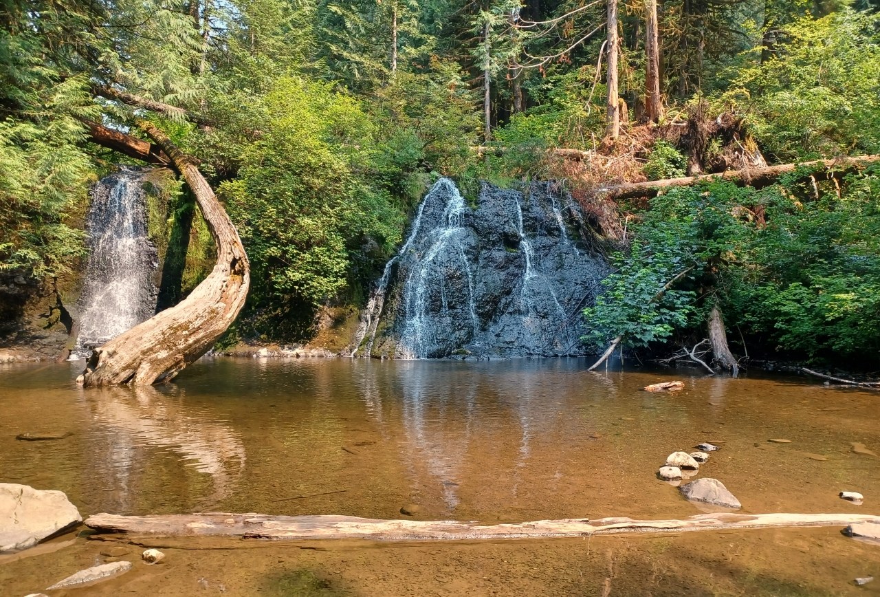
Today we shared the area by the falls with several other groups but it never felt crowded. We saw people of all ages making the hike and it seemed especially popular for families given the reward of cooling off in the falls. We've had this hike on our list for a few months so it was good to finally get this one checked off. We returned to the parking area around 4 PM and All Trails measured our round trip hike to be about 6 miles with about 600 feet total elevation gain.


 Length
 Elevation Gain
Comments