


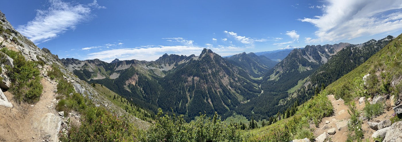
25 mile solo trail run/hike from I90 PCT N to Kachess Lake Campground: I got dropped off at the exit 52 PCT (Kendall Katwalk) trailhead at 9:30a. Perennial water source at 3 mi from TH; next water source is Ridge Lake at 7 mi from TH. No water after that (despite being mid July, all snow is gone and small streams across trail are all dried up already) until one small creek just before Park Lakes (approx mile 12? from I90 TH). PCT is in great shape, but there are a couple of places up near Chikamin Ridge were rock fall means you have to climb over rocks but nothing scary. The views are outstanding and there were not that many bugs. At Park Lakes I turned onto the Mineral Creek trail. I saw in prior trip reports that there was no signage here - that's not true. There is a sign telling you you're at the Mineral Creek junction, but it's faded and it's on a tree in the shade and easy to miss.
Mineral Creek trail, despite being brushed out by WTA backcountry crews in 2022, is incredibly brushy in some parts, and many blowdowns in other parts. It's very steep and absolutely not runnable, and I certainly would not want to do this trail in the northbound/uphill direction. There is a water source at a stream crossing approx 4 miles from the PCT junction, and then again at the Mineral Creek crossing at 6 miles from PCT junction. All water crossings were easily navigable but I also wanted to get my feet/legs wet, so didn't try to rock hop. Water is not deep or fast.
The real beast on this trip is the Little Kachess lakeside trail. It SUCKS. The map looks like it's on a topo line, but it is nothing but nasty little up and downs over rocks and roots and there are washouts and climb-overs. Several hundred feet of up and down, and at places it is absolutely not safe for small children or dogs with short legs. It was 3 miles of seriously Type 3 fun. Arrived at Kachess Lake Campground at 7:30p.
Total stats: 25 miles, 6,000 ft gain, 6700 ft descent, 10 hours, 1 mountain goat, 2 through-hikers, 3 volcano view (Glacier, Rainier, Adams).


 Length
 Elevation Gain
Comments