


Walked the Palouse to Cascades after coming down from Cedar Butte Friday morning. I’d wanted to check on the status of the closure from the big landslide damage earlier this year. Well, very good news. The trail is wide open at the previous closure point - the gate isn’t just open it’s actually been removed. Also noteworthy, every single one of the numerous closure signs has been removed. I didn’t have time to walk past the original western closure point where P to C crosses the Olallie Trail just about exactly a mile east of where Cedar Butte splits off, but there were many cyclists coming through from the east as well. Super kudos to the State Park folks for getting this fixed and opened MUCH faster than initially anticipated. Sure is nice when things go that way.

Trip Report
Palouse to Cascades Trail - Cedar Falls to Change Creek — Friday, Jul. 10, 2026
 Snoqualmie Region > North Bend Area
Type of Hike
Day hikeTrail Conditions
Trail in good conditionRoad
Road suitable for all vehiclesBugs
Bugs were not too badSnow
Snow free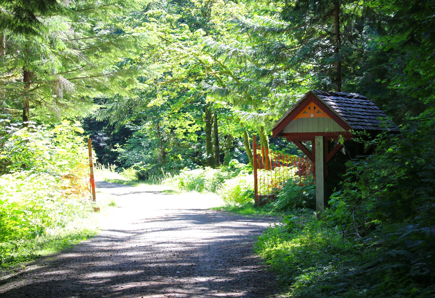

Trails Hiked
Palouse to Cascades Trail - Cedar Falls to Change Creek
-
 Length
- 11.0 miles, roundtrip
-
 Elevation Gain
- 480 feet
Comments
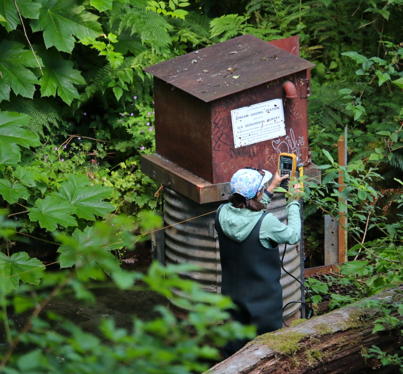
minor update - turns out you can pull live data off that very USGS instrument via the USGS website, link below. https://waterdata.usgs.gov/monitoring-location/USGS-12143700/#dataTypeId=continuous-00065-0&period=P7D&showFieldMeasurements=true
Posted by:
wafflesnfalafel on Jul 11, 2026 11:38 AM
further update - it turns out the trail is not actually completely fixed, but there is a new bypass to get around the big washout - see article in the Times, link below
https://www.seattletimes.com/life/outdoors/palouse-to-cascades-trail-bypass-opens-still-faces-atmospheric-river-impacts/
Posted by:
wafflesnfalafel on Jul 16, 2026 08:11 AM