


Two-night trip leaving July 4 and returning July 6. The road to the North Fork Sauk trailhead is driveable by any standard-clearance vehicle. A huge thank you to the WTA work parties who were out tackling the worst spots on the lower trail!
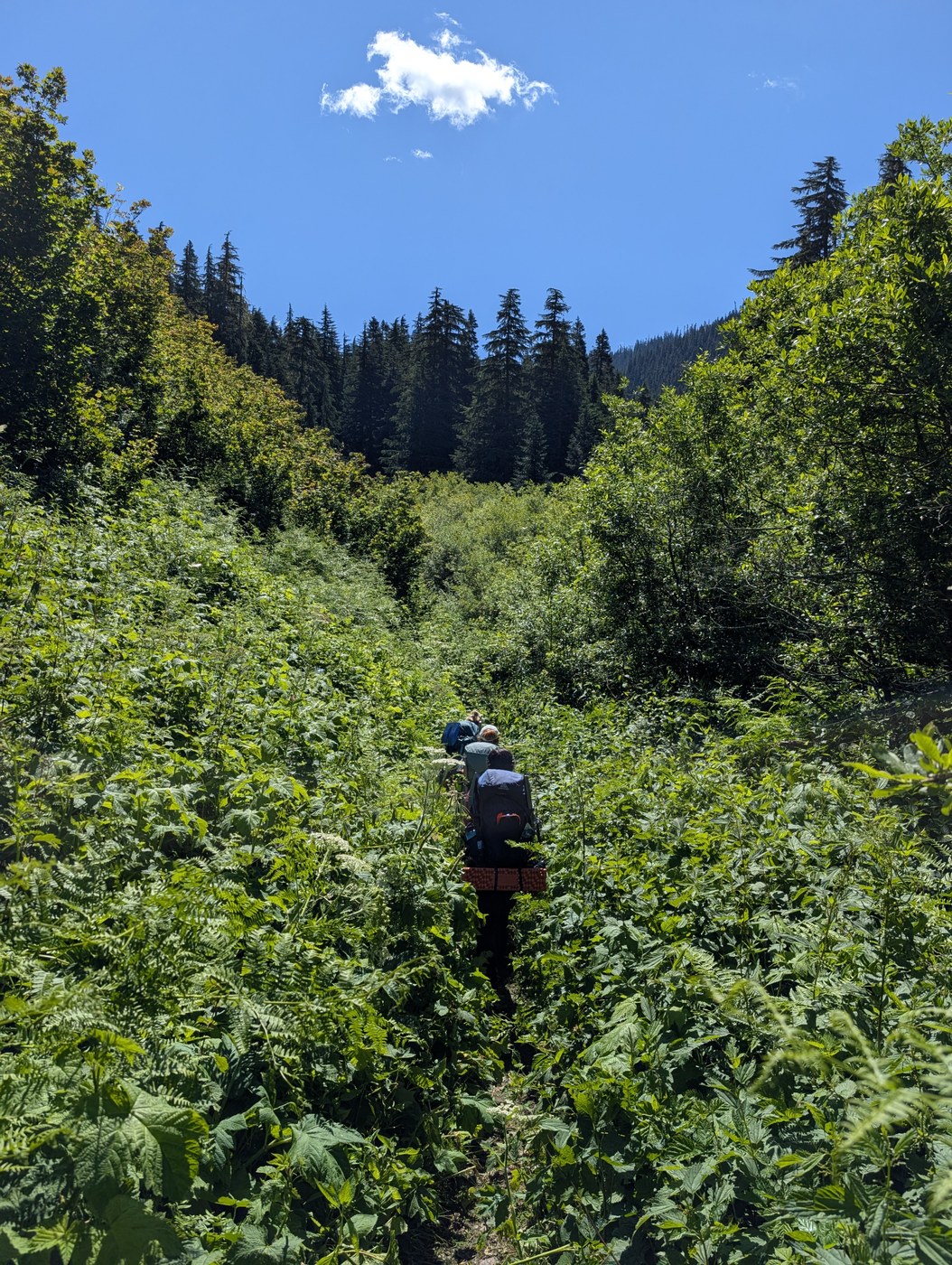
North Fork Sauk Trail: We started hiking around 8:30 AM. Trailhead toilet is open and stocked. The lower forest portion of the trail is in good shape, but still needs a couple blowdowns cleared and a lot of brushing. Looks like materials are staged to replace some of the rotting boardwalks as well. Mackinaw Shelter is a flattened pile of old lumber, and several recently downed trees around that site make finding the privy there difficult, but it's still there. Several good water sources between the trailhead and the start of the switchbacks, and a couple more just above them as you finish the climb. It took us about 5 hours to reach White Pass.
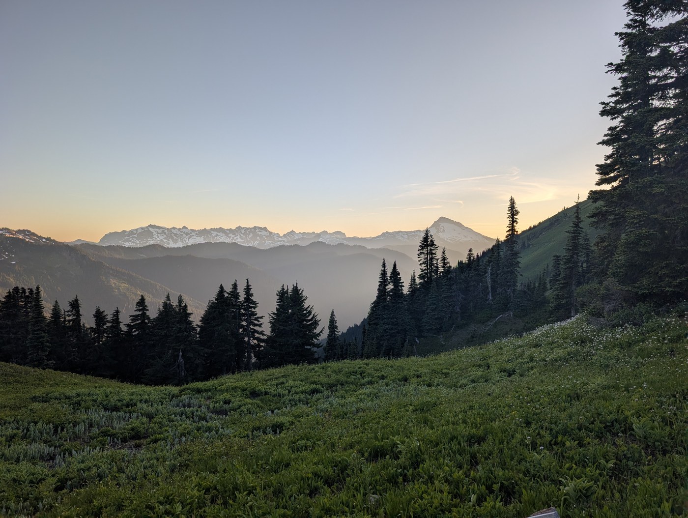
PCT Section K (White Pass Area): White Pass proper currently has no running water right on the trail, though there is some flowing down at the lower camp and a bit further north along the Foam Creek bootpath. Wildflowers are really popping right now! We moved our camp down here for our second night to shorten the hike out. The setting is gorgeous, but the mosquitoes are absolutely atrocious and the privy is completely full.
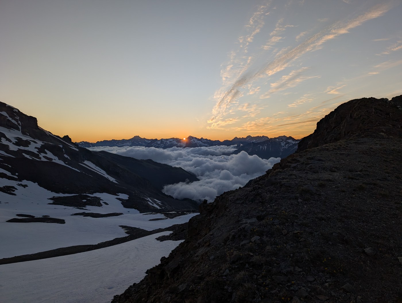
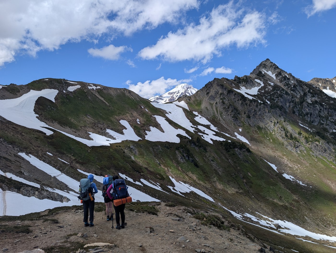
Foam Creek Trail: The traverse to the Foam Creek headwall starts out as a straightforward, good trail. However, you will cross numerous small gullies filled with snow or running water—several of these are heavily undercut right now and conditions are changing daily. Getting around the east flank of Marmot Knob and up to Foam Pass(?) was a bit of a choose-your-own-adventure mix of steep dirt, mud, and snow. The descent from the pass into the high basin is still mostly snow, with a few melted-out sections holding a faint user trail.
We used this route to access the high glacial basin for a climb of Glacier Peak. Full climbing report on Peakbagger.
 Length
 Elevation Gain
Comments
Excellent report! Attempting a 1 night summit push tomorrow so its much appreciated.
Posted by:
Robert Paulson on Jul 07, 2026 01:39 PM
Excellent report! Attempting a 1 night summit push tomorrow so its much appreciated.
Posted by:
Robert Paulson on Jul 07, 2026 01:39 PM