


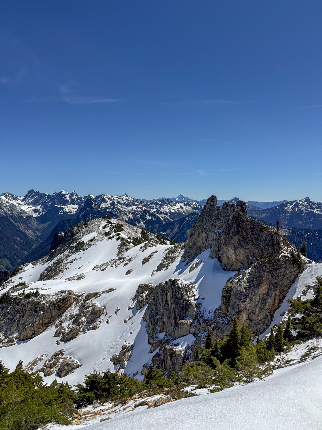
I wasn't really sure of my objective, I just knew I was sick of Tiger Mountain and North Bend. On the way up to the pass there was a fresh dusting of snow on the top of the higher peaks so I thought maybe just hit up Guye Peak and call it good. The first part of the trail is relentless and steep, with flowing water from the snowmelt on a good bit of early sections. The rocks make it more like a stairmaster than a trail. On the way up the bushes and ground were still wet from our last round of rains, but at least the vegetation hasn't grown in too much yet so I was able to stay dry.
Nearing the waterfall I passed a group of very fit looking guys with accents and nothing but their phones heading down from Guye. After they passed I realized the World Cup is probably bringing lots of folks out to enjoy our trails. I missed the turn off for Guye and decided to press on to Snoqualmie Mountain. Around 500 feet or so below the summit there was a fresh layer of a few inches. I took out my poles and had no real issues with traction, but it was rapidly melting and fairly slick.
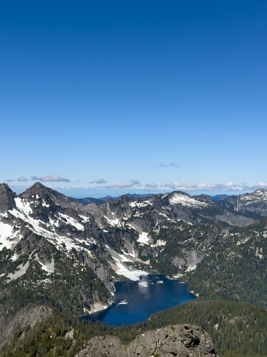
At the summit there are perfect 360 degrees views. I walked past the survey marker to the end of the ridge which gives you a great view of an almost-thawed Snow Lake down below. I had thought about a loop to Snow Dome or checking out East Peak but that was a big nope. The magic ledge looked more like a stairway to heaven. There is still a lot of snow packed against the north side of that ridge.
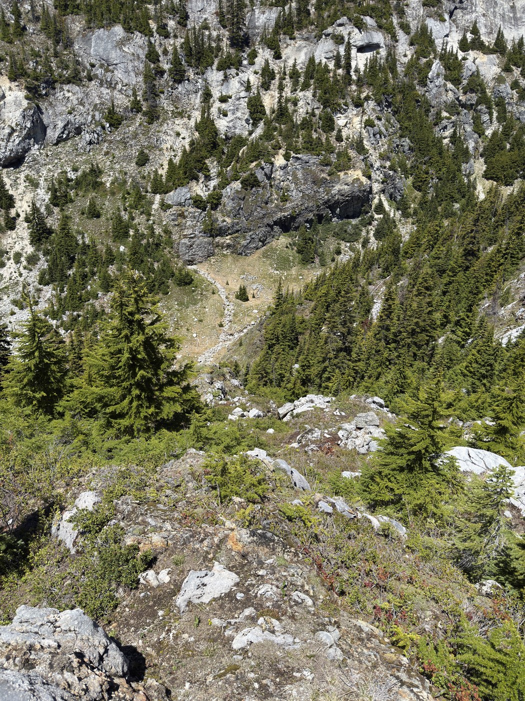
On the way back down the snow was noticeably melting and the trail was already drying out so it should be free and clear really soon. Around where you re-enter the trees I noticed a faint boot path heading down a ridge so I followed it to see if I could find a shortcut to Guye Peak. The trail faded quickly or I lost it but with a little bushwhacking I found myself next to a stream in the valley between Snoqualmie and Cave Ridge. There is an old, faint boot path following the stream all the way up the valley. Maybe an old shortcut to Snow Dome? I followed it uphill for a bit and found a spot where I was able to get up to the Cave Ridge trail without much hassle. Looking at my GPS track after the fact, I realized I was only about 200 feet below the top of Cave Ridge, so not going up there was a miss.
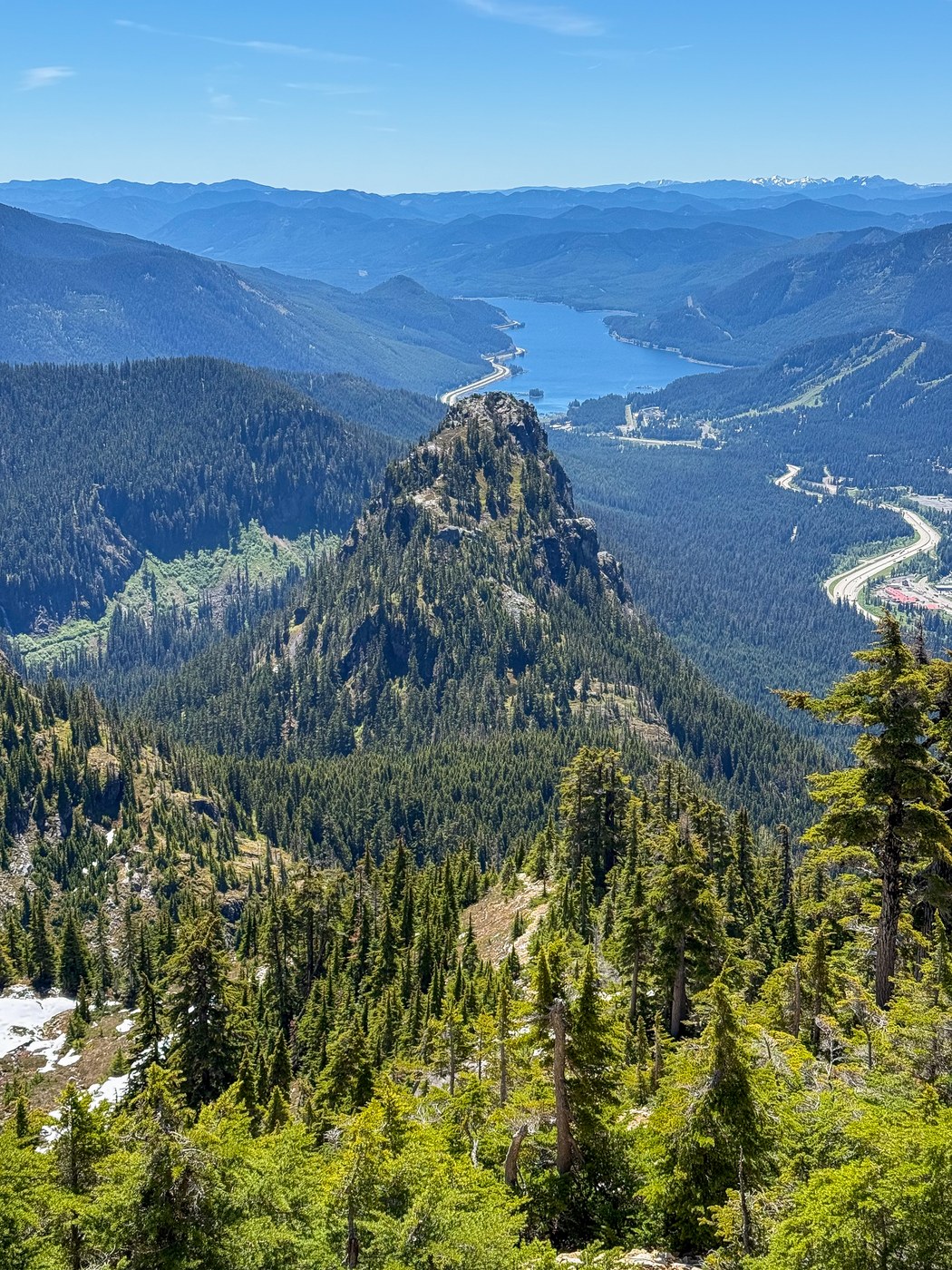
I followed the Cave Ridge trail to Red Pond. It was really peaceful and much better than the rocky stairmaster of the Snoqualmie/Guye trail. From Red Pond I went up the right side and down the opposite side, preferring the right side. The views at the top of Guye are nice, with Red Mountain being a prominent feature. Snoqualmie Mountain definitely had the best scenery of the day though. The whole trip was only 5.4 miles and 3900' of vert. Snoqualmie Mountain seems so far away when looking at it from the top of Guye, so it felt longer than 5 miles.
 Length
 Elevation Gain
Comments