

Training for our Kulshan (Baker) climb continues! This time my 22yo son and I hiked up to Excelsior Pass. We thought about trying for the peak, but decided the pass was enough for today. We were definitely worn out by the end, but the shady woods, the open meadows, and the views at the top were worth it!
We left Bellingham at 6:00am, started hiking a little after 7:00am. It was a chilly 40 degrees - hiking pants, long sleeves, gloves. After a mile, though, we were down to short sleeves and shorts. We wore trail runners but poles were helpful, both up and down.
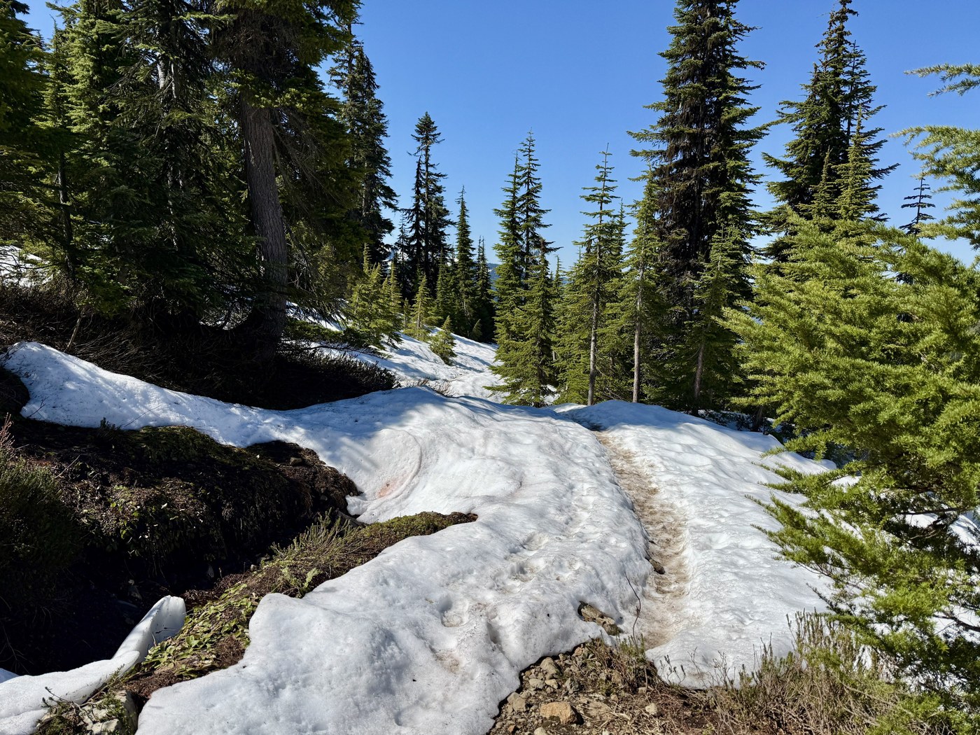
This is a great conditioning hike, and just a beautiful hike all around. You are in the shade for most of the time, and when you come out, the views amazing. It is steep and a constant uphill, just be warned. It was never too steep for too long, though. Rest breaks encouraged.
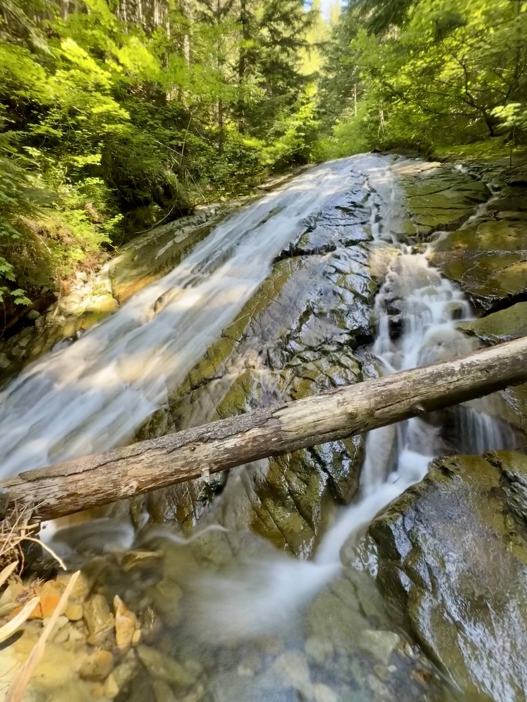
I love the cool waterfall at 1.25 miles, it's a great place to stop and hydrate.
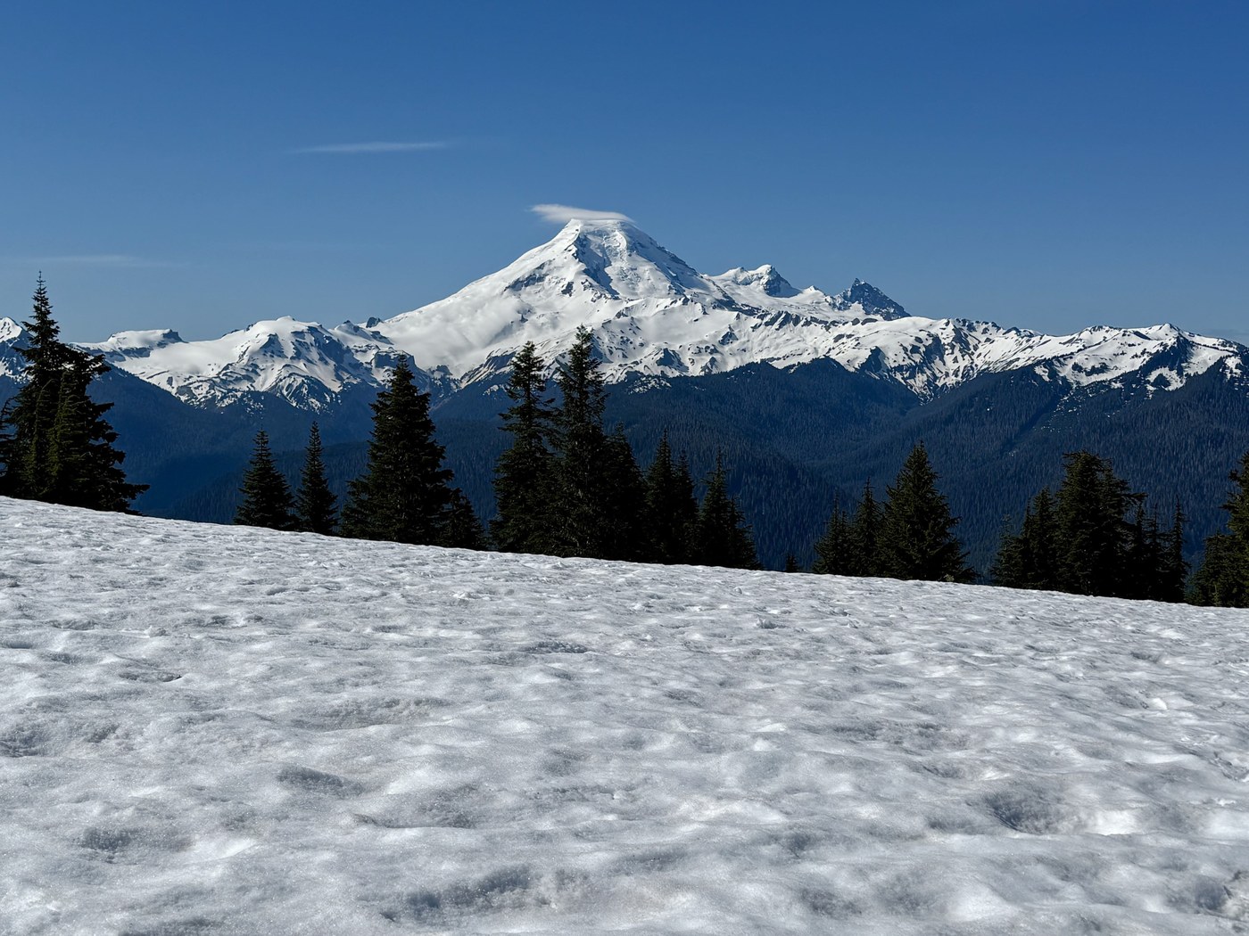
We encountered some snow patches when you start to come out into the open area (see photo), but the path was clear and we always felt safe. I was worried about traversing the last part across the ridge (when you can see Kulshan in all its glory), but it was snow-free.
Coming around the bend at the top, the snow appeared again and covered the pass. We stopped at the pass to enjoy the view - my son had never been up there, and he didn't expect it to be so grand.
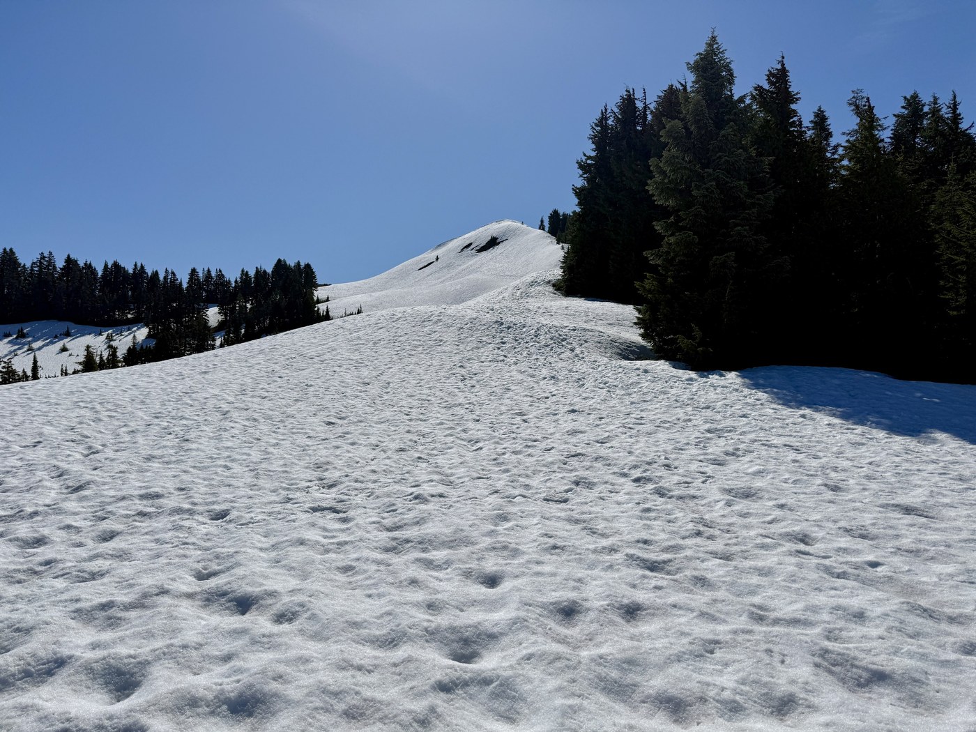
There looks like a boot path straight up to Excelsior Peak (I took a photo looking up the peak), but I would probably take the longer way around (the path that you see heading right, just as you get near the top of the pass). This path goes around and up the back side of the peak, which usually melts out earlier. We didn't go up the peak, though, so I can't say what it looks like for sure.
We went back down to where you can see Kulshan, and sat for awhile, making sure to avoid sitting on all the new green shoots coming out of the ground. We rested, ate and drank, and just soaked in the view and the sunshine.
Eventually we headed back down, by the time we made it to the car, our knees and toes were pretty sore. We felt great about our hike, but we have a ways to go to get in shape for Kulshan.
Total of 8.7 miles, 3,566 feet elevation. On the trail for 4 hours, 30 minutes. Grateful to be in the mountains today, grateful for some father-son time, too.
Comments