

My 22yo son and I signed up for a Baker climb in August, so today we did our first official training hike together (I've been training since March, but he's 22, so you know, as close to immortality as you can get).
We climbed Adams five years ago, so we are excited (and a bit nervous) for this next adventure up Baker. We signed up with Cascade Mountain Ascents here in Bellingham - so far they have been nothing but helpful, professional, and patient with us climbing noobs. To start our training, I thought Oyster Dome would be a good one, with some extra water weight in our packs as a bonus challenge.
We drove to the Oyster Dome trailhead on Chuckanut, 30 minutes from Bellingham. Lots of cars parked on this sunny Friday, at least by 10am when we got there. Someone was just leaving, so we snagged a spot. Make sure you are fully across the white line, though - cars come racing through there, you don't want to lose a side mirror.
There are plenty of trip reports for this trail, I will just add a few things:
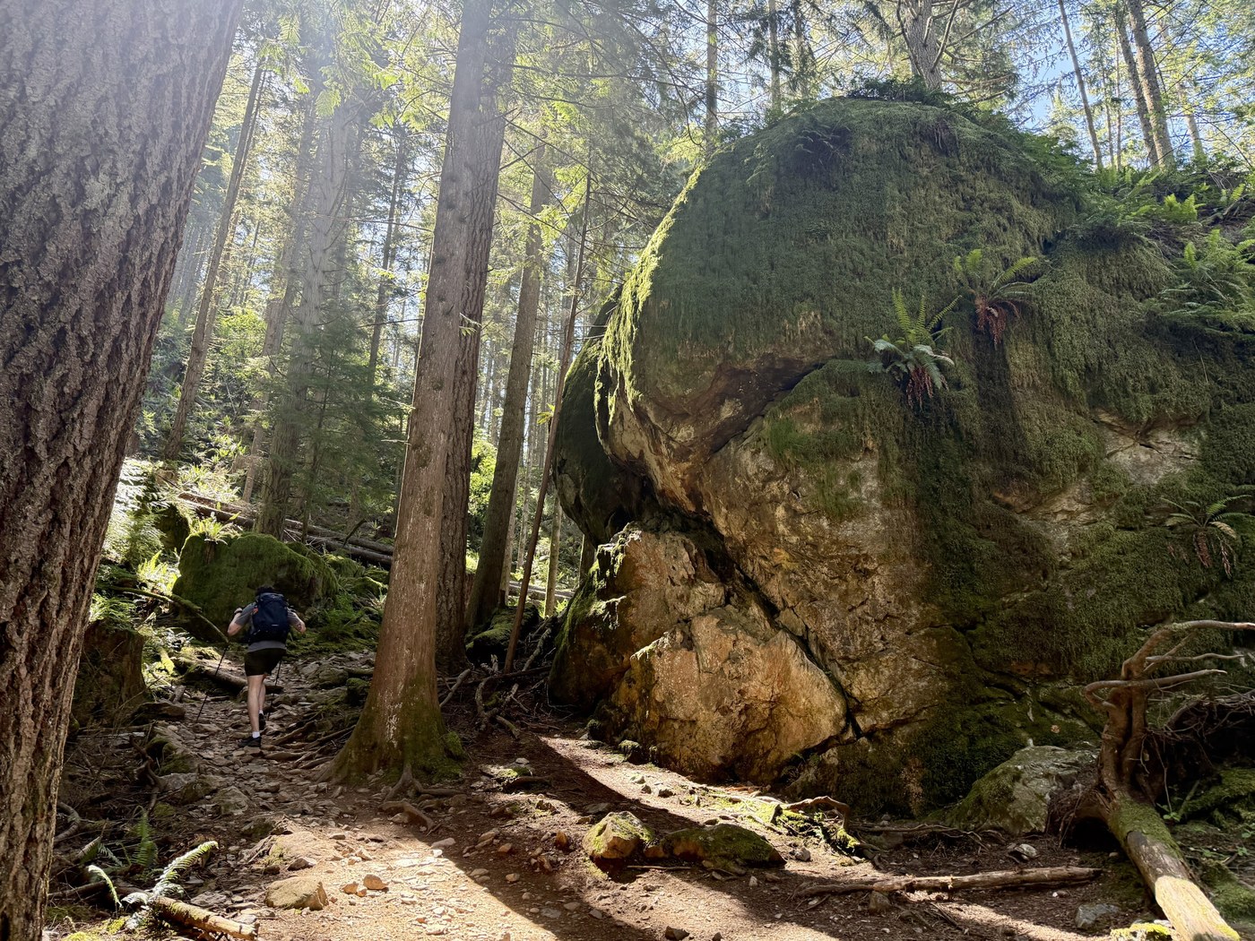
It is definitely steeper and longer starting from this trailhead, instead of from Samish Overlook. In fact, I think the longest and steepest parts are in the first mile from Chuckanut. Slow and steady!
Lots of people on this trail, even on a weekday. Expect to stop and step aside a lot on the way down. Everyone was friendly and patient, happy to be out in the woods.
I wore my hiking boots, my son was in trail runners. We both had poles. You could pretty much wear anything on this trail - and we saw a lot of different outfits and shoe choices for sure!
It was nearing 70 degrees when we finished, but this trail is almost always in the shade, which makes a huge difference. For Adams, we were in Yakima at the time, and our training hikes were in the semi-arid desert - no shade and relentless sun. And rattlesnakes. This was much more tolerable!
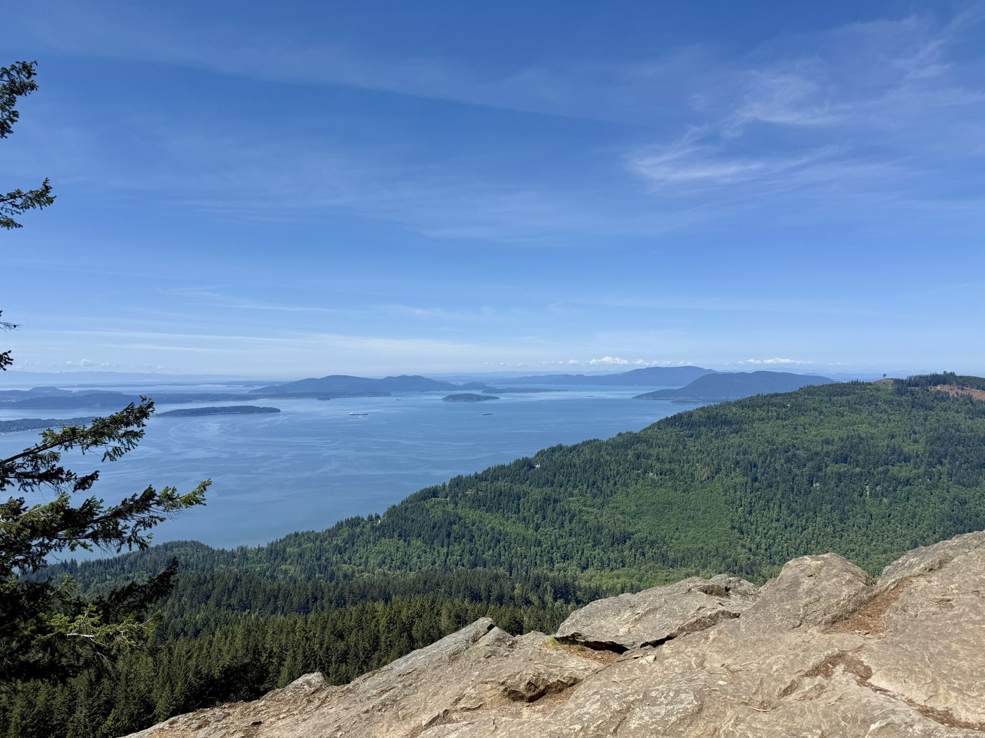
The viewpoint is large and many people can enjoy it without feeling too crowded. There were several groups at the viewpoint, but everyone was having a good time. We rested, snacked, joyfully dumped out our extra water, and headed back down with lightened loads.
Total was 6.7 miles, 1,936 feet elevation, just over three hours on the trail. We were both grateful to be on the trail, and it was fun to rehash old memories of our Adams climb while looking ahead to Baker.
I think we will do Excelsior Peak next, or Maybe Church Mountain. Welcome Pass might be a bit much, at least right now. But if anyone out there has good recommendations for training hikes, I would love to hear about them. Thanks!
Comments