

Cumberland Creek is a Skagit Land Trust property that features 3 miles of trails and access to the Skagit River. You can get here by following South Skagit Hwy from the Skagit River Bridge between Sedro Woolley and Clear Lake. There is room for 5 ish cars at the yellow gate.
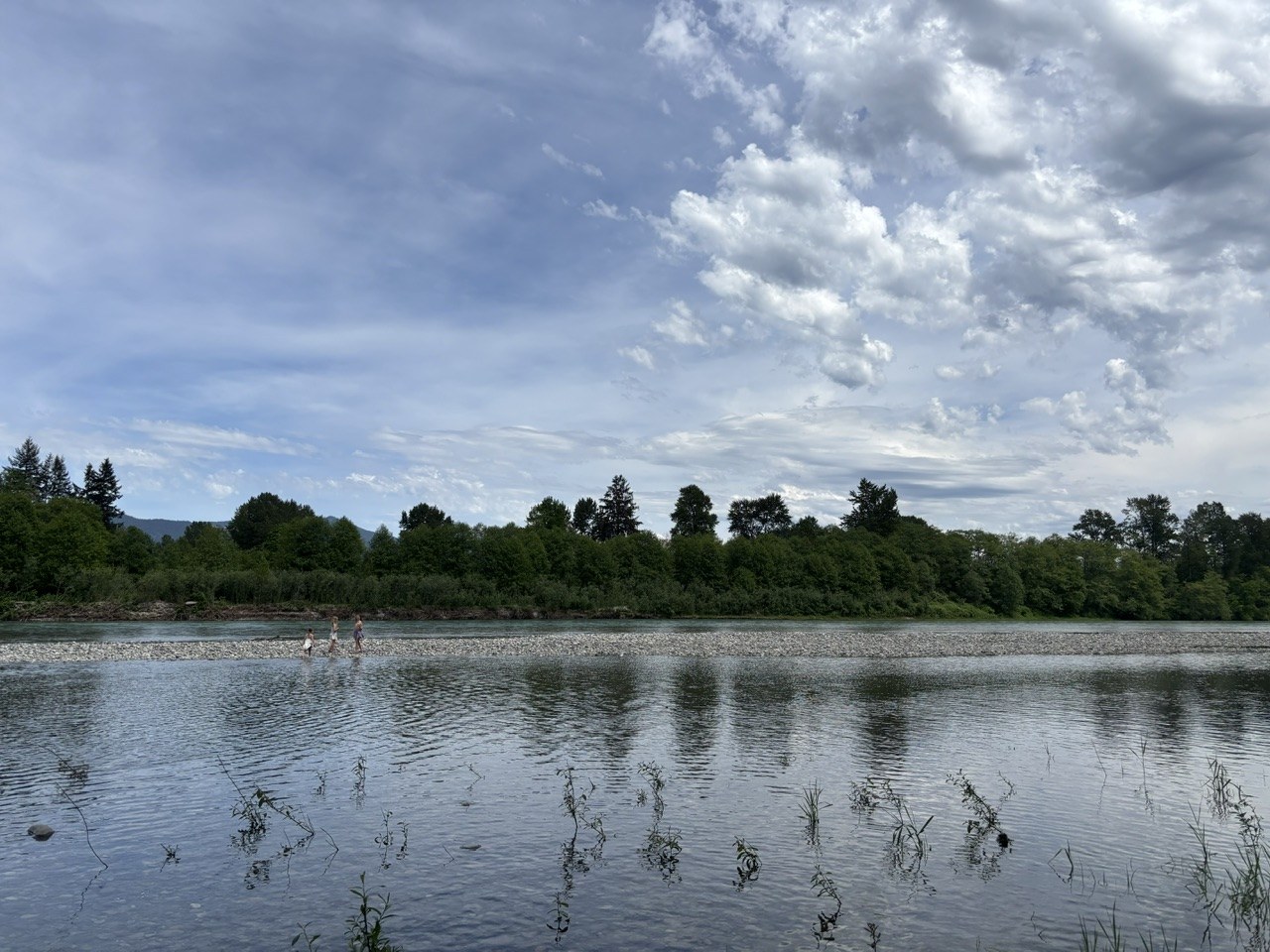
All trails are in good condition. We had one tree to step over. Your only “obstacle” is the tall grass to walk through. Getting down to the river you’ll have to climb over debris from the December Floods but it’s easy to climb over. We last came here in the fall, so it was really interesting to see how the river had changed the landscape. The trails to the river are now full of sand and silt. You can see where the river came to with the different piles of debris. The forest is alive with vibrant greens. Cottonwood trees were “snowing” while we sat down by the river. The hike is fairly flat, and I was able to hike just fine with bum ankle. We played down at the river for over an hour before it started to sprinkle. There is a rock bar that creates a nice pool. The kids had so much fun splashing around in the water and playing in the sand. We saw an eagle and ducks. Lots of elk prints in the dirt. No mud. Flowers in bloom were foam cup, fringe cup, piggy back plant, buttercups, Salmonberry and thimbleberry. A few salmonberries were almost ripe with a red/orange color. There are few informational signs on the bridge over Cumberland Creek that talk about the plants, animals and salmon run.

Comments