

Phenomenal trip with Glen99, SoaringEagle, DaniilMag, and myself as we got to the summit of Mount Deception in a C2c push in one long day. We car camped in our cars after driving up the night before. The forest service road to the trail is ok for awhile, but starting about 4 miles from the trailhead and lasting for 1-1.5 miles it is pretty bad with potholes.
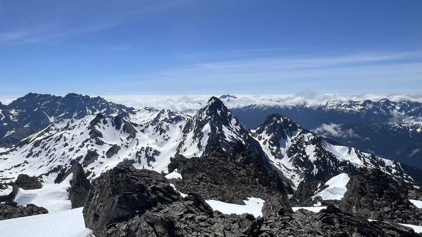
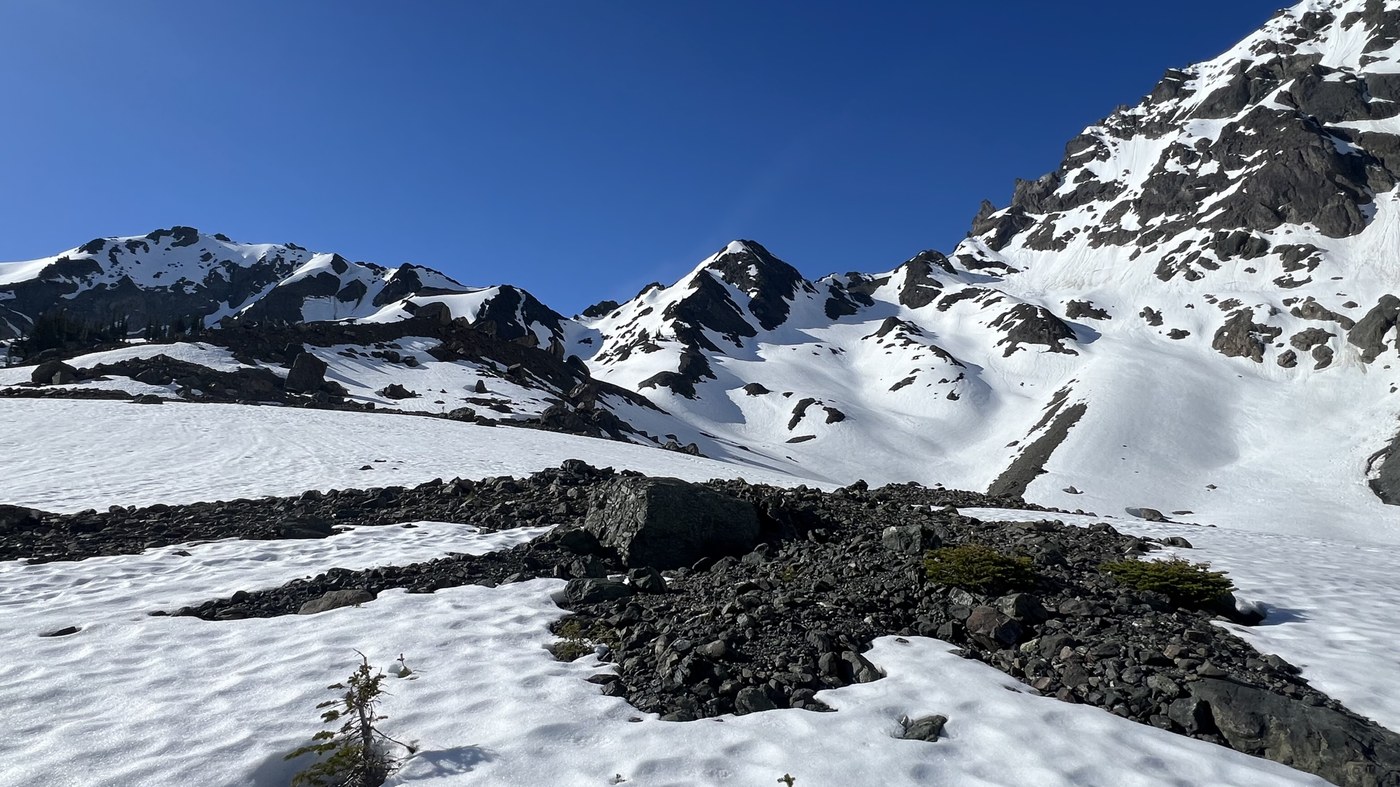
We got started at just before 5am. The trail is in great shape and pretty much snow free up to Royal Lake which is at around 5100ft. Once the trail heads up to the upper basin the trail gets gradually more snow. At 5300ft at the large marshy area we lost the trail a few times in the snow, before it became all snow to get up to the upper moraine basin of Mount Deception and other peaks. The huge basin was beautiful, and we could now see our route, which looked daunting.
After dropping down about 70ft we began our ascent up to the saddle 1800ft above just below the summit. The first 400ft up wasn't so bad, but the final 1400ft was super steep. We used 2 ice axes along with crampons, gaiters, and helmets. I was behind and SoaringEagle was out in from. It was a relief to get up to the saddle, and wow, what a view as you could see Mount Olympus and the whole Olympic range with so many snowcapped peaks. From the saddle we just had a 200ft ascent up to the summit.
After having lunch on the summit and admiring the fantastic views we headed down. We faced in downclimbed the whole way. It was slow going for me as I was being careful with every step for 1400ft straight down. The other three were so far down below me. I met up with them at 5700ft where we filled up with water. It took me 2hrs to go down this part.
We now had the long hike out. We started at 5am and were back at the car at 5:45pm. It took us 6 1/2 hrs to summit, and after about 45 minute on the summit, it took 5hrs to go down to the trailhead. 18.5 miles with 6247ft gain
Awesome day!!
Caltopo track and more pics on Strava link below

Comments
Awesome hike Greg! Enjoyed the report.
Posted by:
Ups n Downs on May 08, 2026 05:50 PM
Thank you my friend!! It’s super gorgeous up there!!
Posted by:
kidz won't hike on May 09, 2026 07:25 PM