




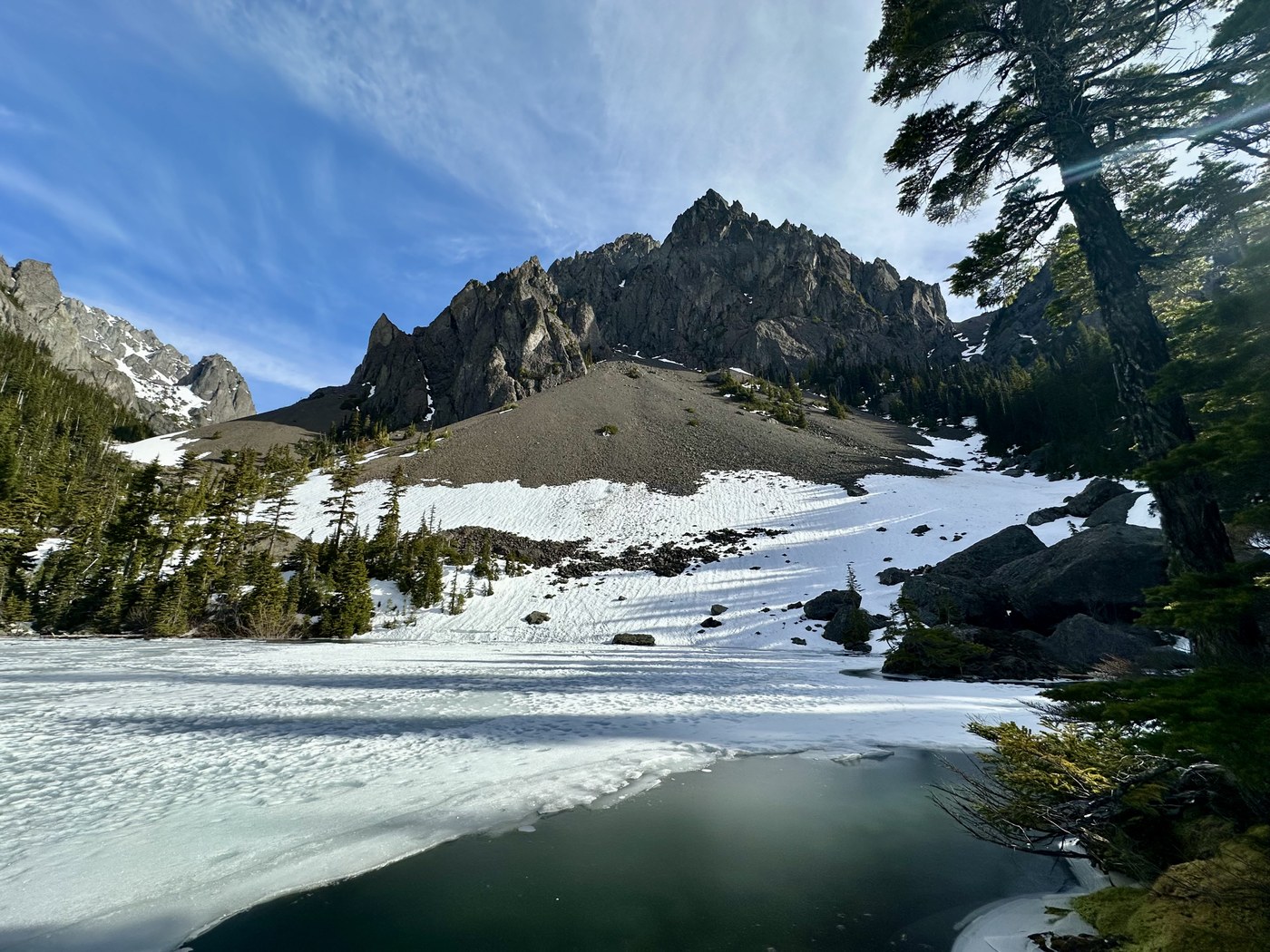
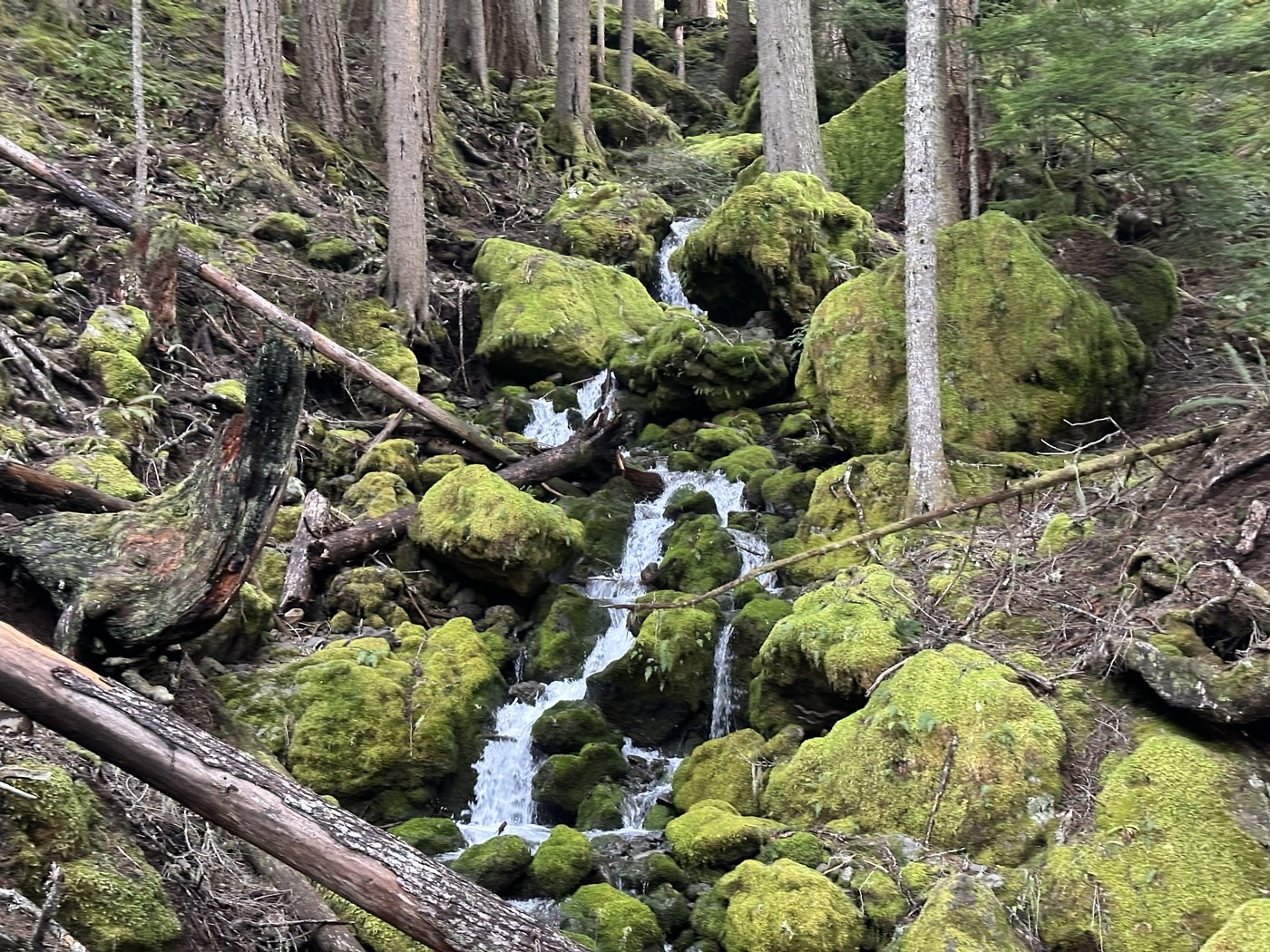
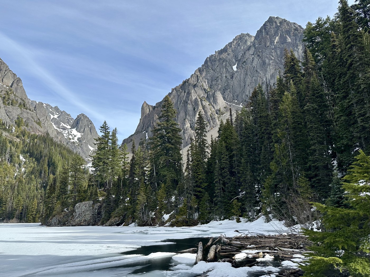
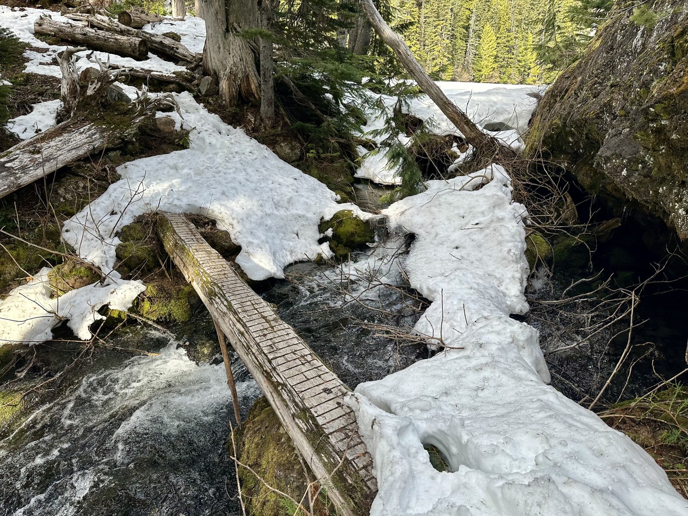
Finally pulled the string yesterday and hiked to Lake Constance in the Olympics. I’ve been looking at this one for years, always putting it off because 1) It is no longer maintained, 2) It is STEEP, and 3) Just the description on the WTA site is enough to keep most people with common sense from attempting it. Well, all three of these were true, but I figured I wasn’t getting any younger, ignored common sense and decided to solo it. 8 hours car a car, 13.75 miles and 4,225 feet of elevation gain (3,300 of that in the final 2.2 miles up to the lake from the Dosewallips River Trail). Beautiful day, messy and difficult trail, a great early season hike, and a good workout!! 😎
 Washington Trails
Association
Washington Trails
Association
Trails for everyone, forever
Comments
thanks for your report. what is the state of the trail before the turnoff to go vertical to Lake Constance? Is it runable or is it extremely rocky and "rooty"?
Posted by:
depeche81 on Mar 24, 2026 06:19 PM
What Kozior said!! 😊😎
Posted by:
Retired Tim on Mar 24, 2026 08:27 PM
It’s an old abandoned road, so it’s definitely runable. There is a washout section that you can take a high or low bypass, which would be the roughest part, but it’s only a 1/4 mile and not that bad either high or low. I tend to take the low bypass, but to each their own. The road continues with a couple small washouts till the old Dose campground. If I’m remembering correctly the campground is around 6 miles from the parking area.
Posted by:
Kozior Goralski on Mar 24, 2026 06:47 PM