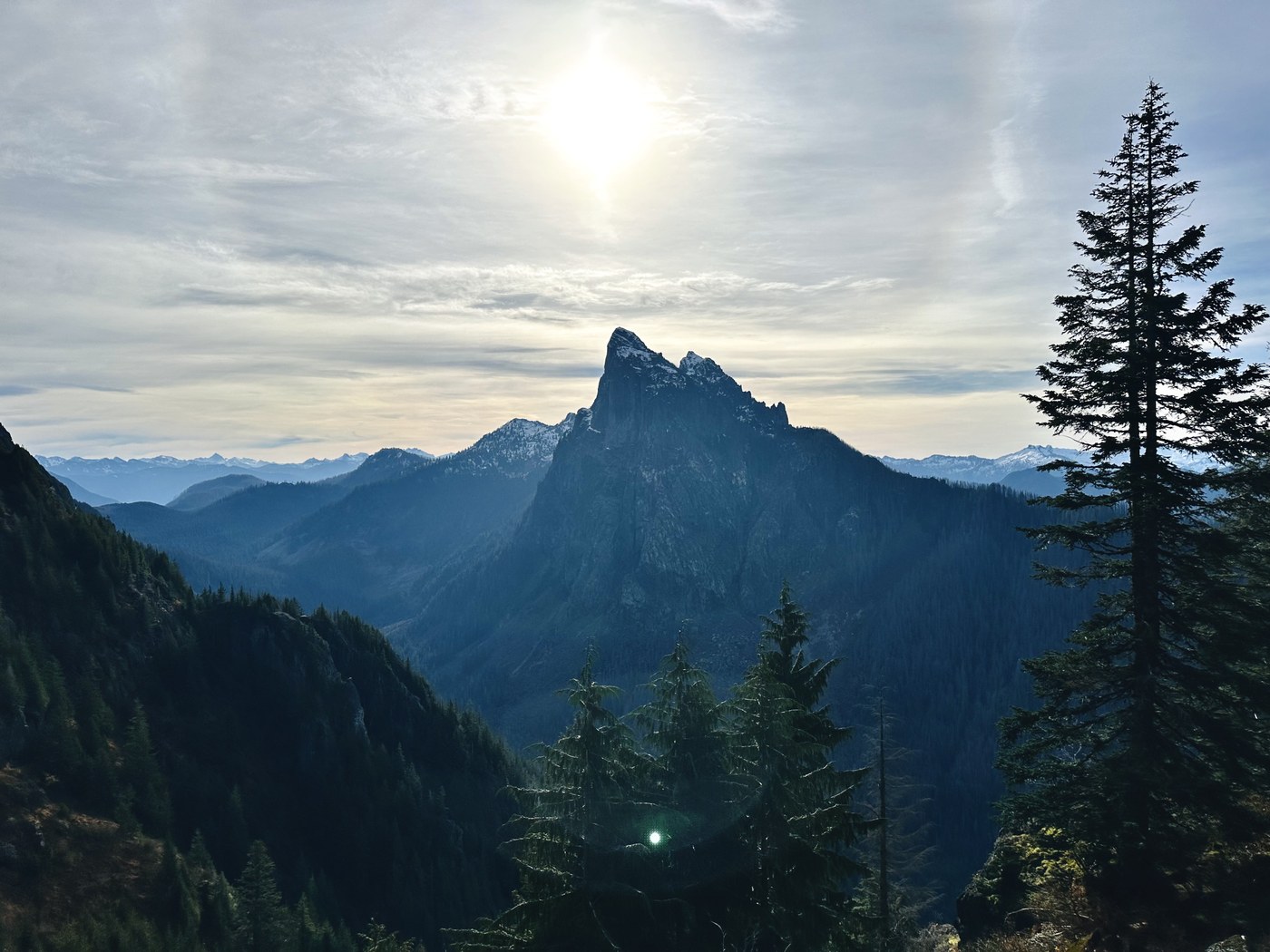
This is a report for ascent of Tailgunner and Wing Peak from the Barclay Lake trailhead - added it under Gunn Peak as these two ascents don't have entries on WTA. The path from Barclay Lake TH to the saddle is the same as to Gunn.
The path to the saddle between Tailgunner and Wing is overgrown and rough as previously mentioned, but nothing too intimidating, just slow with a bit of routefinding. Expect Class 2 scrambling and intermittent bushwhacking. It is steep, however, ascending ~3000ft in less than 2 miles. The waterfall gully crossing at ~4000ft is interesting - two of our party took the higher path against the rock face, which requires some veggie belaying, and our third party member found a lower route to climber's left that was a bit less spicy. Maybe a class 3 move or two if you take the higher route. No major snow patches below the saddle as of yet, as it's on a South-facing slope.
Tailgunner ascent itself is pretty chill, some class 2 moves with firm snow along the way no deeper than 6-10 inches near the summit. On the way down from the peak we took a small snow couloir route on the North face of the summit - probably wouldn't repeat that in the future as the runout is a bit cliffy without much space to arrest - we briefly pulled out our ice axes for that section.
The ascent was relatively straightforward to Wing Peak from the saddle with Tailgunner with snow cover around 6-12" depth. The final section at the summit block involved skirting around or traversing a small arete which was complicated by snow patches and slippery footing on low class 4 terrain. We decided to save it for another (drier) day. If you're looking to summit Wing, I say wait until next year if you're not comfortable with a slightly sketchy/icy scramble.
Our route is available on Peakbagger at the link below.


Comments