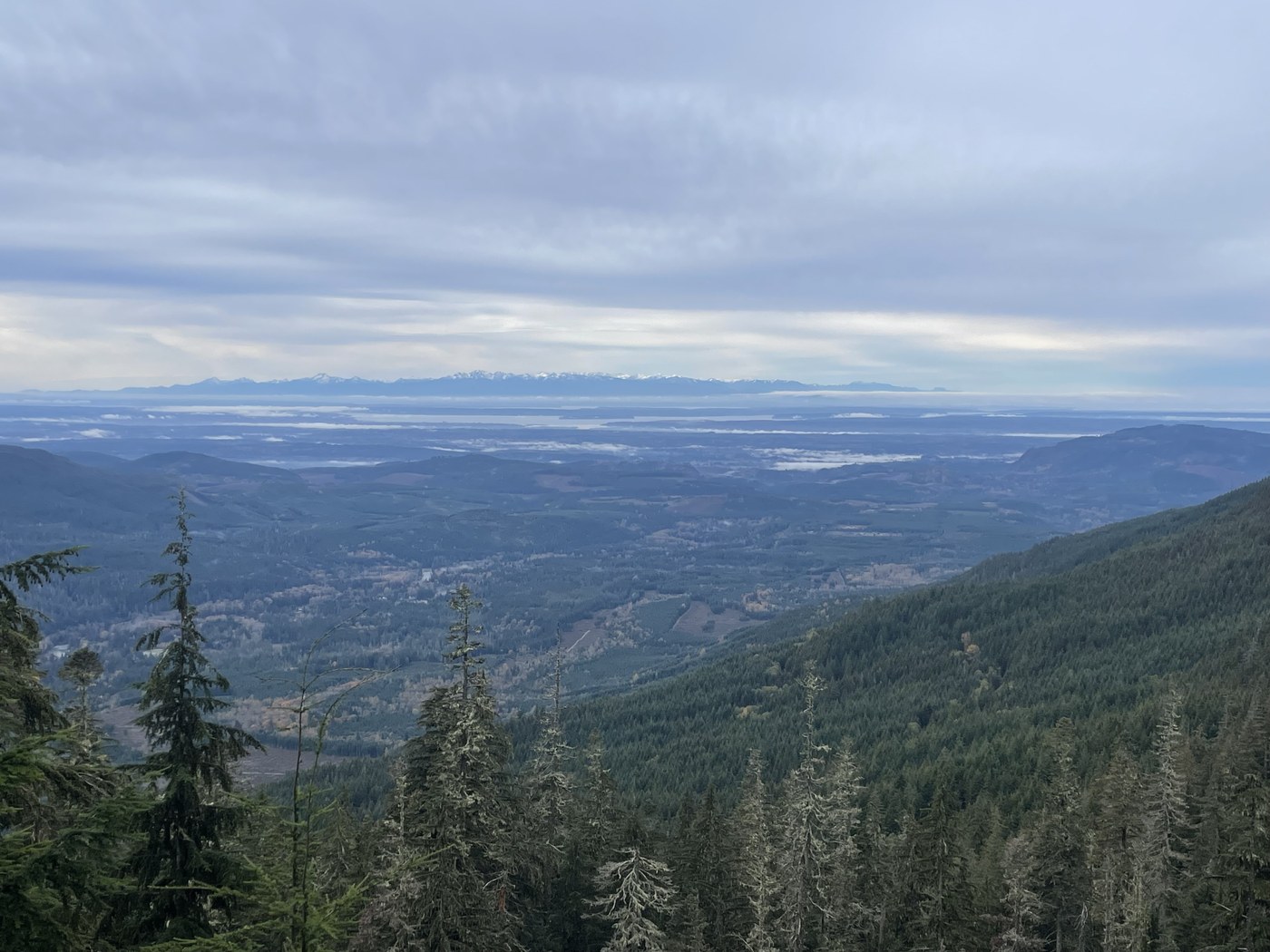
Here is one for aficionados of abandoned, brushy road walks: Drive 7.6 miles to the berms on FS 4110 (Green Mountain Rd) at 3750' (48.12705,-121.77909), 1.8 miles off of FS 41 which is 6.8 miles north of Granite Falls on The Mountain Loop Highway. Walk the abandoned road northeast to your heart's content or until you start cursing the blessed brush.
FS 4110 is suitable for mid-clearance vehicles and has some potholes and puddles higher up where it crests the ridge.
My goal was the 4458' east summit of Green Mountain which is one of three distinct peaks and the highest point on this 7-mile long ridge above Verlot. Having visited the other two summits earlier in the year which are easy road walks up (see link), I had left this one for last as it is known to be a fairly arduous bushwhack.
FS 4110 has been blocked off for many years beyond the berms and brush has taken over the roadbed in the form of a wall of tightly-packed conifers in the worst sections. There are some occasional open stretches and fortunately, pokey vegetation is minimal.
After parking, I noticed that vehicles are driving over the berms and continuing for about 1 mile to the junction of FS 035. There has even been some rudimentary, recent clearing to that point.
At about 1.7 miles there is a section where parts the road have sloughed off the mountain but animals and hikers have created a path around this obstacle.
After this there is some evidence of brushing by hikers that abruptly ends where FS 4110 swings under the SW side of Green Mountain's east peak and the road on the ridge changes to FS 4114. Here is where the difficult bushwhacking starts. Sometimes it's easier to just walk adjacent to the road as the forest is more open here.
I continued up FS 4114 to the toe of SW ridge that climbs the final 600' in 0.4 of a mile (3.1 miles from the car) passing a rocky gendarme on the right (east). The ridge gets fairly steep near the top and there was just enough snow to spice things up but I made it to the semi-forested summit without incident. Microspikes were useful here, mostly to grip wet duff.
A quiet day at this popular locale for outdoor enthusiasts of all stripes. Only saw a few hunters, a small caravan of off-roaders and a sheriff's deputy patrolling lower down on the paved portion of 41.
Stats were 8.2 miles RT and 1649' gain.


Comments