Challenging trip up to Turquoise Peak via the West Fork Foss trail with Glen99 and Aferrenberg. We got started at 8:10am from the trailhead. The trail up to Trout Lake is in good shape. Up past this at around 2600ft, there is a huge blowdown across the trail. Someone has added some logs and cut some steps into the blowdown to help get up and over it, which is helpful. The tree that fell must be 5' in diameter.
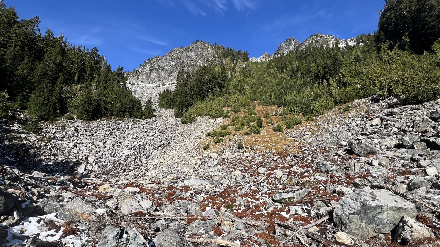
Just before the foot bridge that takes you over the outflow of Lake Malachite, we left the trail and headed up steeply thru the somewhat open forest. After a short bit the grade really steepened, and there were many brushy areas that we had to navigate through. We also had to pick the correct route, as we ran into some vertical rock faces that were to our climbers left, and had to avoid a steep narrow drainage that was to our climbers right. Some spots were mega steep, so we put on our microspikes to help with traction. There were also a couple of talus sections that looked inviting, but the moss covered boulders were loose and slick, so we avoided them.
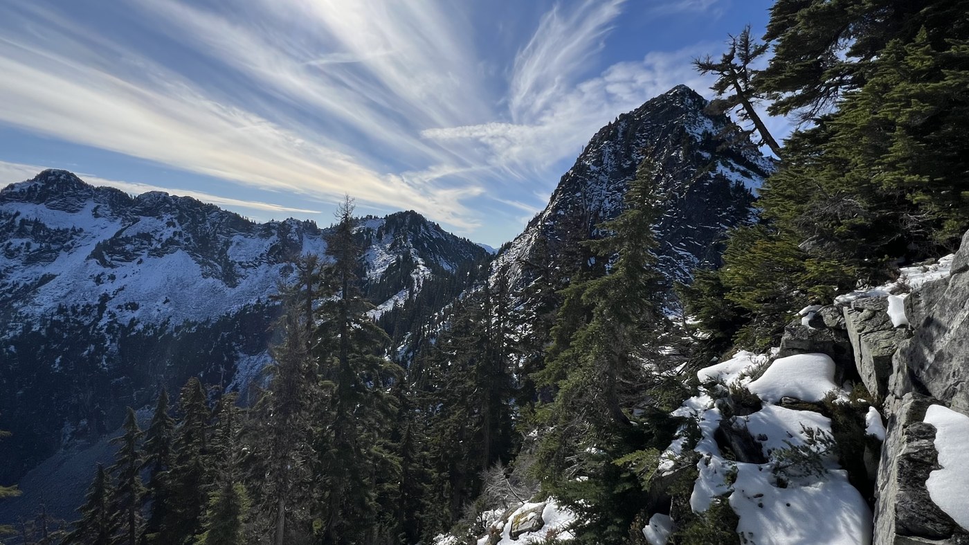
Up around 4430ft we got out into the open on some talus, and spotted a cairn. We veered to the right through some trees, and now were in a large basin. Here we went up 400 vertical feet up some talus, before turning to the left, where we headed up some heather, which was now snow covered. We then headed up another drainage before veering to the right to begin a rising traverse, first on more snow covered heather, and then snow covered talus to get to a sub peak of Turquoise Peak at 5616ft. Here we had to drop down to a saddle between this subpeak and Turquoise. From this saddle we had to drop down to 5400ft to begin a tedious traverse below some cliff faces above us on some snow covered talus to get to a steep gully. This steep gully put on the NW ridge which we took up about 100ft. Above us was some 5th class scrambling on snow covered rocks that we had to avoid, so we did a careful rising traverse in the snow above the cliff faces to the NE ridge.
Once at the NE ridge we were faced with a class 3 scramble with exposure on both sided on about 4" of snow covered rock. We dropped our packs, took out our ice axes, and headed up. There was a few trees that we were able to squeeze through for protection, as we were in a no fall zone, which was made much more difficult with the snow. The last 20ft to the summit was the easiest. Awesome views from the summit. We didn't stay long, and began our descent back to our packs. It was slow going, as our foot placement had to be perfect. We retraced our steps carefully, and took a break back at the sub peak, before the careful descent back down to the foot bridge on the West Fork Foss trail. Coming down off trail is always difficult in this type of terrain, as it is so easy to get off trail, so we were very happy to back on the main trail. On back on the trail we hiked back to the car, arriving at 5:40pm
Great trip! 10.4 miles with 4918ft gain


Comments
Ups n Downs on West Fork Foss River and Lakes, Turquoise Peak
Nice!
Posted by:
Ups n Downs on Oct 23, 2025 08:41 AM
kidz won't hike on West Fork Foss River and Lakes, Turquoise Peak
Thanks! It was a good one!!
Posted by:
kidz won't hike on Oct 23, 2025 12:55 PM