The weather forecast looked great for Sunday, so I got to the trailhead at about 7am. The road was in good condition – there are a few potholes and some bumps where the surface changes but you don’t need 4WD or a high clearance vehicle. My Corolla was fine and nowhere near bottoming out at any point. It’s trickier later in the day with dappled shade when you can’t see the holes clearly.
Before sunrise, the road seemed to be populated with flocks of Varied Thrushes (Ixoreus naevius) but there were far fewer around midday. There were a few spaces left in the lot but they looked like disappearing quickly.
The trail is short and easy until you get to Heliotrope Creek, soon after the turn-off to Glacier Overlook. With the low October water flow, creek crossings lower down are straightforward, but that last one is tricky. The water level is low so it looks OK but the rocks sticking out of the water are round and covered with slippery green algae. There’s a bit of ice around in the morning. This goes away later in the day but you’re still going to slip off those rocks that look like they might keep your feet dry.
I took notice of previous trip reports and put trail sandals on so I could walk on the pebbly bottom and avoid slipping. Icy water, but it’s only for a few seconds.
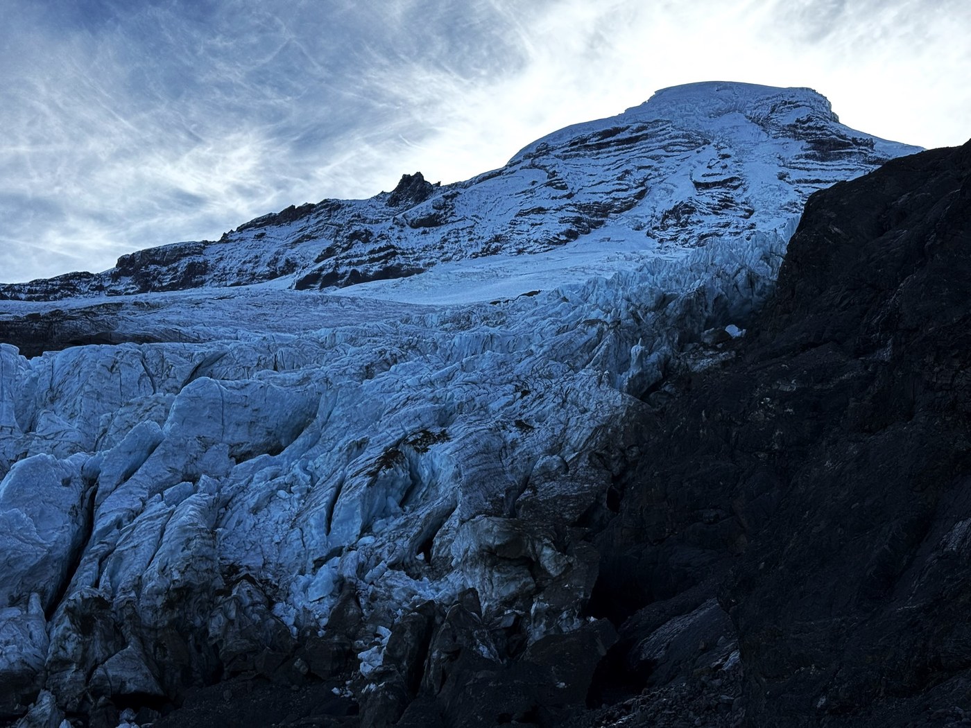
The view of Coleman Glacier is close, jagged and raw. Waterfalls roar beneath the ice and emerge hundreds of feet below. It’s a glacier at its dirtiest and ugliest but it’s magnificent. I think the view is slightly better if you continue up the ridge to a couple of glacial erratics perched above the overhang; a bit further than the trail goes on AllTrails. From this point there’s an optical illusion that makes the summit of Kulshan look closer than it is. It’s tempting to go a bit higher.
I tried a traverse over to the climbers’ trail but the rocks were covered with black ice (see photo 3) and it was pretty obvious that wasn’t going to work. I retraced over the icy Heliotrope Creek and started heading up the much steeper trail. This was pretty good up to a bit higher than Hogsback Camp. From then, the ice on the rocks was evil. I got to a high point at about 6300 feet (I think it’s called Gargoyle Rocks) and called it a day. Coming down on that ice was much worse than going up. I think much of the ice would have melted by late afternoon so it might have been easier.
There was sun on Hogsback Camp and the water was beginning to melt underneath the thin sheet of ice covering the rocks, making entertaining shapes as it worked its way through the ice crevices. By this time, it was warm and sunny and the view over to Roosevelt and Coleman Glaciers was gorgeous.


Comments