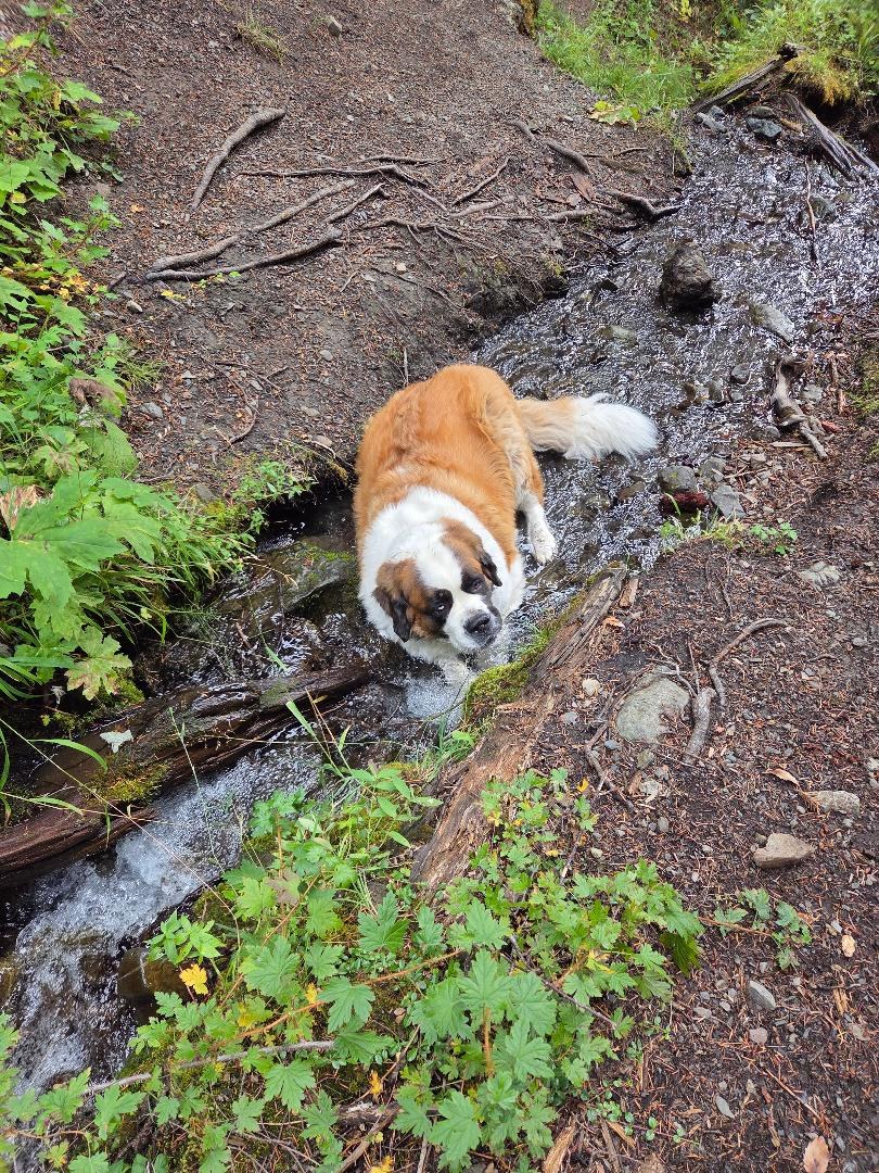
Day started partly sunny, but deteriorated to descending clouds and rising valley fog, then light rain/mist in the afternoon. Nice trail, steep, but easy to follow. Numerous switchbacks tempered the grade. No downed trees or obstructions, at least to 5,000ft. We returned at about 5,000ft, as clouds enveloped us. Rain started when we reached the TH, but north by Sequim, it was sunny. Mueller Creek at about 4200ft had plenty of ice cold water for our St Bernard. The last half of the road to the TH is heavily pot-holed in sections. The last 1.7 miles from 2870 junction (turn right) didn't show up on our Jeep GPS. More pix and details at - www.deetezellimountainstories.wordpress.com. (FYI Just returned from excellent hike up Sacagewea Peak north of Bozeman MT - put it on your bucket list. Terrific scenery, goats, suitable for families and dogs.)
 Washington Trails
Association
Trails for everyone, forever


Comments