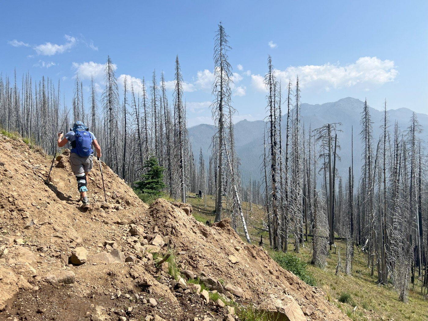
The WTA Hiking Guide entry for Raven Roost needs some help. It says the trail is 3.9 miles one way with 540 feet of vertical to the trail’s end at the PCT; I'm not sure about the mileage accuracy but that vertical number is way off. It also states the Norse Peak Wilderness boundary is a little more than a mile in; the sign (what's left of it) is on a tree right around two miles from the trailhead, when the trail (former NF-1902) finally leaves its non-NPW corridor. It also says a Forest Pass is required at the trailhead but that's not the case as there's no pit toilet. Nevertheless, it's a fun hike I would recommend although I can't vouch for the last mile or so to where it terminates at the PCT.
After having enough fun dealing with lots of trail maintenance issues - a couple of sections wiped out by significant landslides, uncut fallen ghost trees from the 2017 Norse Peak Fire across the trail, several steep / slippery / dusty sections - we turned around at about 2.9 miles one way when the trail we were following had significantly diverged from the Alltrails and Strava trail routings. But, with a total of 1180 feet of vertical registered back at the trailhead, we got twice the vert! (Note that the WTA vertical number is accurate if you turn around about 1.8 miles in at the junction with the Cougar Valley Trail.) WTA’s driving directions are also not quite right; we relied on Google Maps and got there with no issues.
Unfortunately, wildfire smoke mostly hazed out Mount Rainier at the start and clouds / smoke obscured it at the end. Overall, it was quite an enjoyable day as the trail was mostly in good shape, the local views were great, there were tons of wildflowers blooming, and we only saw two other people on the trail all day. I would hike it again, but do it earlier in the year before wildfire season starts so that the big views were there.


Comments