I am signed up for a few WTA trail work parties later this month on this trail, but have never previously hiked it so I went to check it out. Before turning up FS Road 70 I stopped at Federation Forest State Park to use the restroom. It was 62 degrees when I stopped there. I assumed it would be cooler higher up at the TH. I was wrong: it was 76 degrees when I got there at 11:00 am.
FS Road 7030, the first turn after traveling about 8 miles on nicely paved FS Road 70, is NOT signed, but the distance from Hwy 410 is accurately described in the directions to the TH, as are the distances to all other turns you will need to make so reset your trip odometer when leaving 410. The unpaved sections of the Forest Service roads have some rutting, rocks, and potholes but are not horrible. There are certainly worse FS roads out there. A high clearance vehicle is ideal, but others should be ok with careful driving. There are no restroom facilities at the TH. I did see a sign for a backcountry toilet near the lookout, but didn’t investigate.
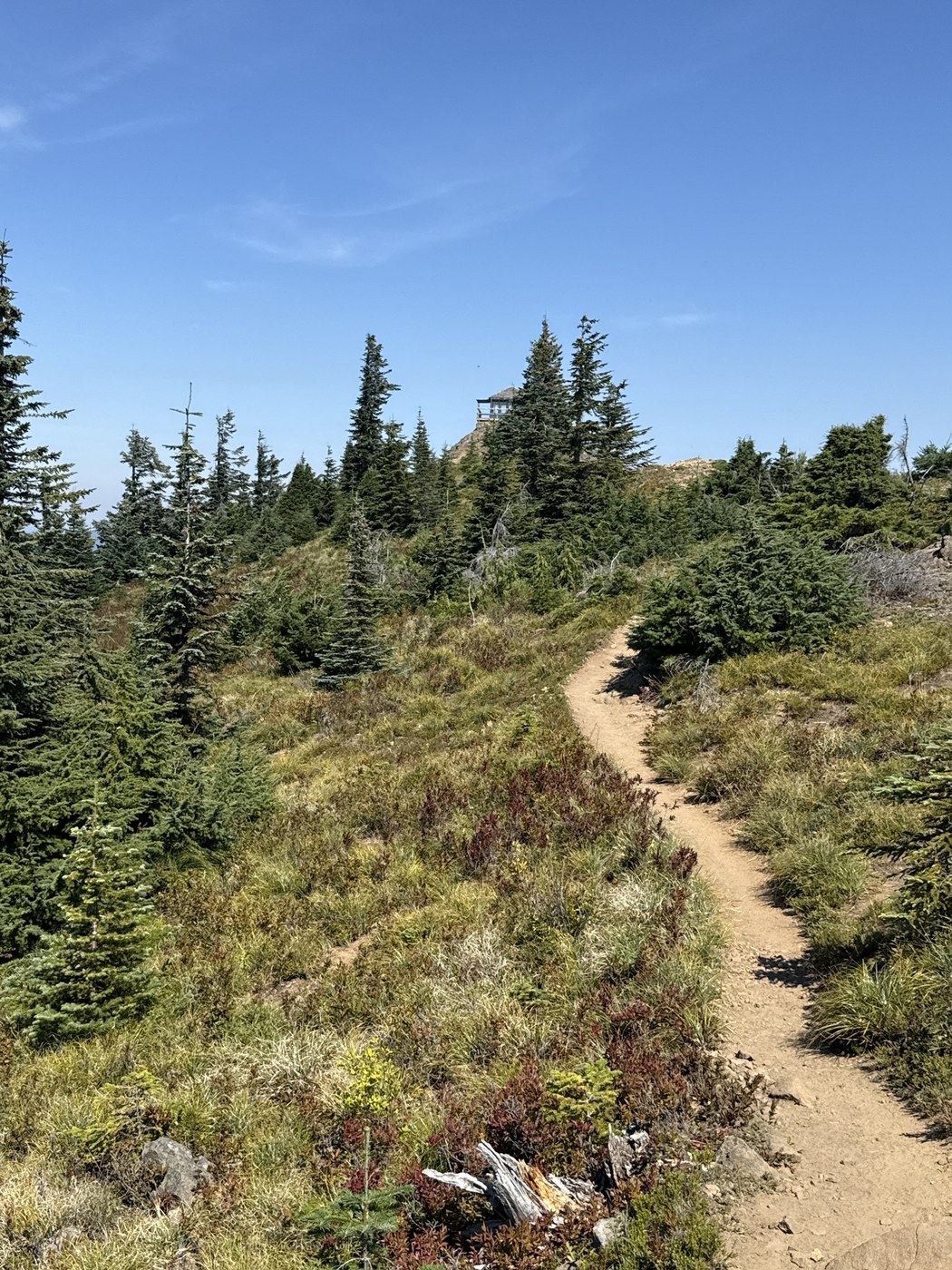
This is a short (3.4 miles RT) hike to a fire lookout. You’ll gain over 1,000’ in the 1.7 mile one way to the lookout, but most of it comes in the last mile. The first .7 mile is on a decommissioned road and is wide, nicely shaded, and relatively level. At the end of this section you will see a “Trail” sign with an arrow pointing sharply up and to the right.
The trail narrows considerably at this point and begins climbing right away. Tree cover diminishes too. While there were occasional patches of shade, it was mostly exposed mid day on this sunny day. Good sun protection recommended. Bring plenty of water too. There were no water sources along the trail today. The trail is easy to follow, but climbs steeply at times over and around rocks. It mellows a bit higher up before the final climb to the lookout.
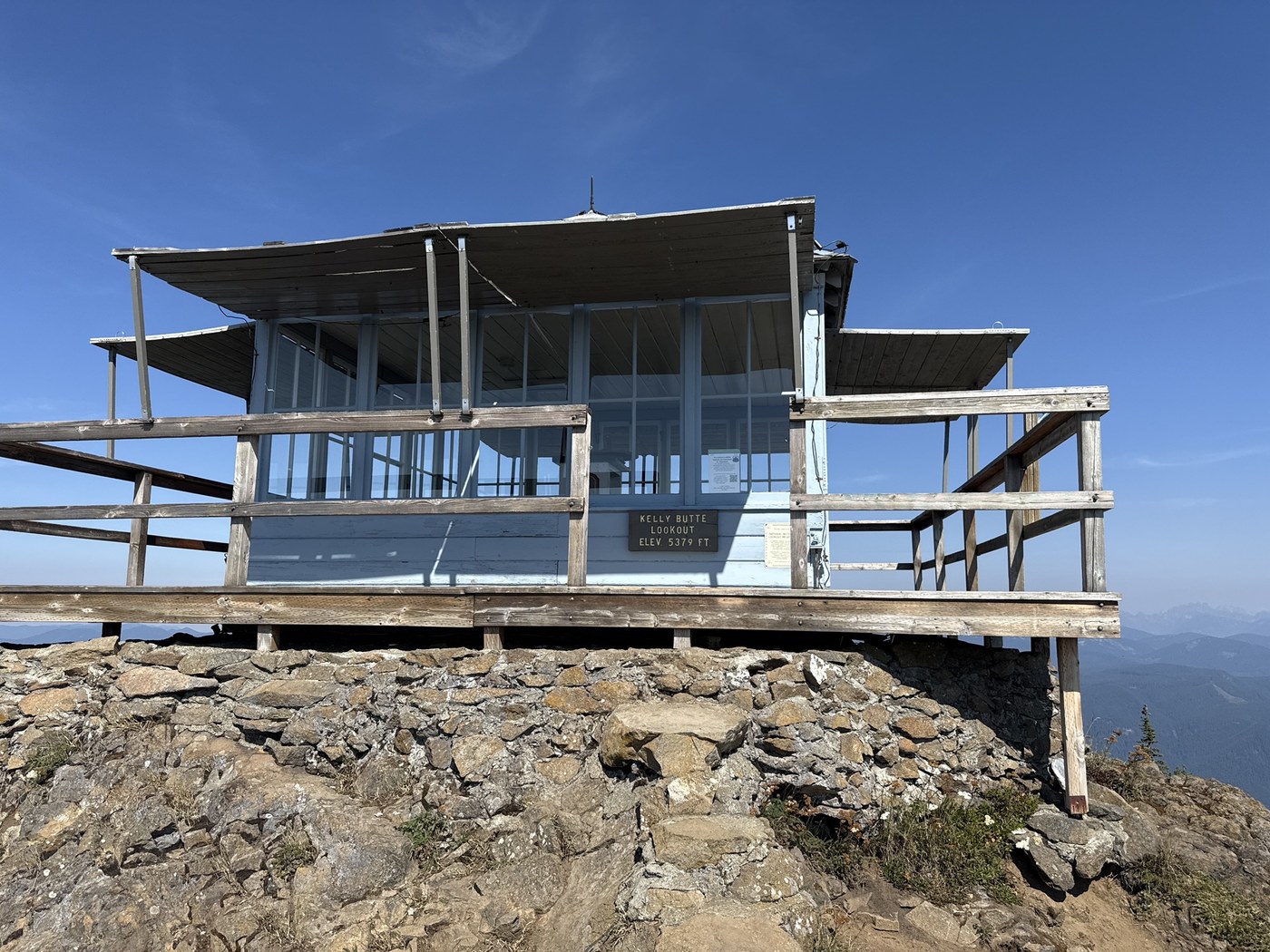
The lookout was not staffed today but looks to be in really good shape. While I couldn’t go inside, I was able to eat lunch on the shaded side of the deck that encircles it. No clear views of Rainier today as it was mostly obscured by, ironically, wildfire smoke. Views to the west were clearer and Mt Stewart was visible through hazy skies in the distance to the northeast. Views closer in were pleasant, but not spectacular. The closer in view includes areas of clear cuts, burn zones, and a wide power line corridor sweeping from west to east. Bugs were not bad today and I only saw a few other hikers while I was out.


Comments
BethS on Kelly Butte
The inversion is pretty standard this time of year. The marine layer keeps the lowlands cool and the higher elevations are warm and sunny.
Posted by:
BethS on Sep 03, 2025 01:01 PM