
I arrived at the trailhead parking lot a few minutes before 7:00 am on Labor Day and was gratified to find several open spots. And, a clean privy well stocked with TP. As I readied my pack, more vehicles pulled in. Today will be busy, I thought.
I took the spur trail to connect with the old Commonwealth Creek Trail, my favored route since discovering it several years ago. The ascent up into the woods was as gnarly as I remembered, but not muddy. I was alone except for another solo hiker headed to Red Mountain. The twin log bridge that I had crossed so many times before now looked weary and forlorn as the smaller log, now broken, sagged low against the larger, only the steel cables keeping them connected. The crossing now required more attention to balance. Though part of an unmaintained trail, I wondered if someone would eventually fix it. After all, large deadfall had been cleared before, probably by volunteers.
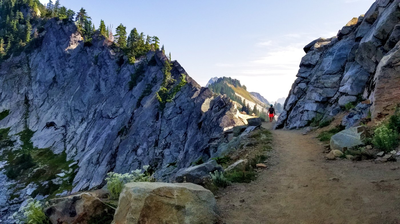
As soon as I joined the PCT, I encountered a group of hikers. Episodic encounters continued throughout the day with through hikers, section hikers, overnighters, day hikers, trail runners, and dogs making their way up and down the trail. Stepping aside trail etiquette seemed almost continuous. I only felt challenged in those narrow, exposed sections on the red ledges near the Katwalk. And, by those fast trail runners who appeared suddenly, hurtling down the trail without announcing their presence. I was always on alert for the sounds of their imminent approach from behind. Not relaxing. Fortunately, everyone was friendly and grateful to be out on a fine day. But it did remind me why I prefer hiking mid-week.
I made my way to the far end of the Katwalk and parked myself on a rock to snack and soak up the views south along the dramatic cliff of the Katwalk. Some southbound section hikers stopped to chat, and we shared stories of our favorite hikes. A small celebration of our tribe. I felt lucky to be there. Would I return once more? I did not know, and somehow it made those moments even more special.
As I descended, I looked forward to the solitude of the old trail, but since I had skipped the boot path to once again summit Kendall Peak, I thought to hike out on the PCT to compare the distances. Here is what I found. My route from the trailhead up the CCT to the PCT and to the north end of the Katwalk measured 5.45 miles on my GAIA GPS app. The way back on the PCT measured 6.36 miles, a difference of 0.91 miles. So, almost a mile longer, and the section after the trail connector gains some elevation through the boulder fields. Even with the failing bridge, I prefer the older, unmaintained CCT.
Comparative stats for my hybrid hike:
GAIA GPS phone app: 11.81 miles, 2,651 ft. gain, max elevation 5,461
Garmin GPS Map 67i: 11.95 miles, 2,779 ft. gain, max elevation 5,428
PS: When clicking on the 360 links below, be sure to select ‘toggle fullscreen’ in the upper right menu bar for the most immersive viewing.


Comments