This trip to the Church Creek - Satsop Lake Trail had two purposes. First, finding a passable route to the trailhead, after the washout on Forest Road 2372 mentioned in other trip reports. And if successful in that, second, scouting the west half of the trail for a prospective Olympia Mountaineers stewardship trip before rainy season. At the request of the Olympic National Forest USFS, the Olympia Mountaineers adopted this trail years ago.
We drove to the west end (Satsop Lake) trailhead of Church Creek Trail #871 from Forest Service Road 2270 (continuation of Wynoochee Valley Road) near east shore of Lake Wynoochee via FR 2372. We used my Chevy Colorado pickup truck, which is rear-wheel-drive, with typical ground clearance for a light pickup truck (7.3 inches).
The deepest water bar of the trip is at the beginning of FR 2372. If you can get over that, you should have no problems with the rest. Pickup trucks and most SUVs should do fine. The spur road to the east end Church Creek trailhead has much bigger and deeper water bars. Rockfall may be a problem in places. Driving distance on FR 2372 from 2270 to the trailhead was about 5 miles. There are some nice views, but the smoke from the Bear Gulch fire produced a noticeable haze. The trailhead parking area lacks a trailhead sign. You can recognize it when you get to the bottom of a downhill stretch and have a small parking area on the left, then one on the right, just before the road turns right.
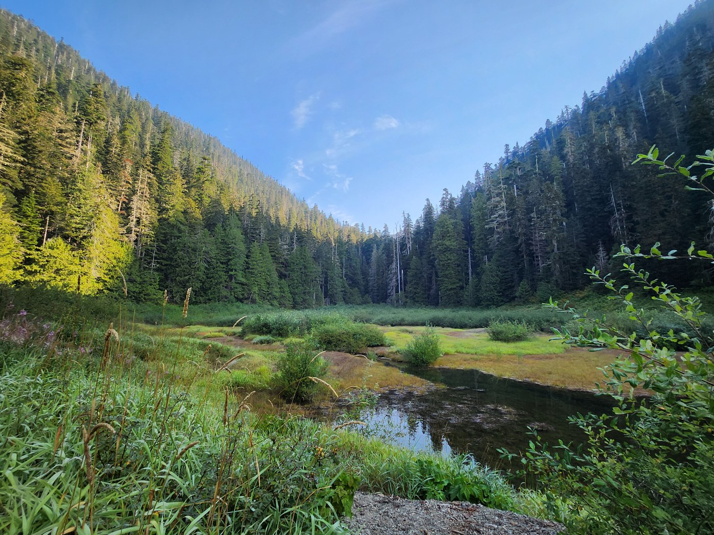
The trail is clear of obstructions to the pond. We took the anglers' trail along the shore going in, and found a path a little higher on the way out, passing above a small thicket of alders overlooking the pond. These two converge on a high gravel bank overlooking the pond. Both are overgrown, mostly with grass. The higher path should be well above waterline during high water in the pond, and I would recommend that unless you are going fishing. Some more traffic would help keep it open. We plan on cutting the grass on the higher path on our stewardship trip. The trail continues along the stream feeding the pond, and that portion is not much above water level. It turns away from the stream and goes up into the woods, passing a big old fallen tree on the left.
Between 2,720' and 2,790' elevation, we found three trees down on the trail, up to 34" diameter, and not very difficult to get around or over. We plan to come back late in September and take them out. From about 2,765', up to 3,050', the trail is intermittently brushy, and needs some work. It is still easy to follow.
We went over the top and down the east side to the highest switchback turn, which we rebuilt in early August. It is holding up well, and drainage is working as intended. From there to the east end trailhead, the trail was in good shape with no obstructions at the end of our 8/5/25 work project.
On the drive home, we tried continuing east on FR 2372 to FR 2364 to FR 23 near Spider Lake. It was manageable in my 2WD pickup, but I don't recommend it. Much of it is rutted, and I had to keep the tires on one side on the hump in the middle to keep from bottoming out in many areas. There is a lot of rockfall on the roadway. Some sizeable holes had to be avoided.


Comments