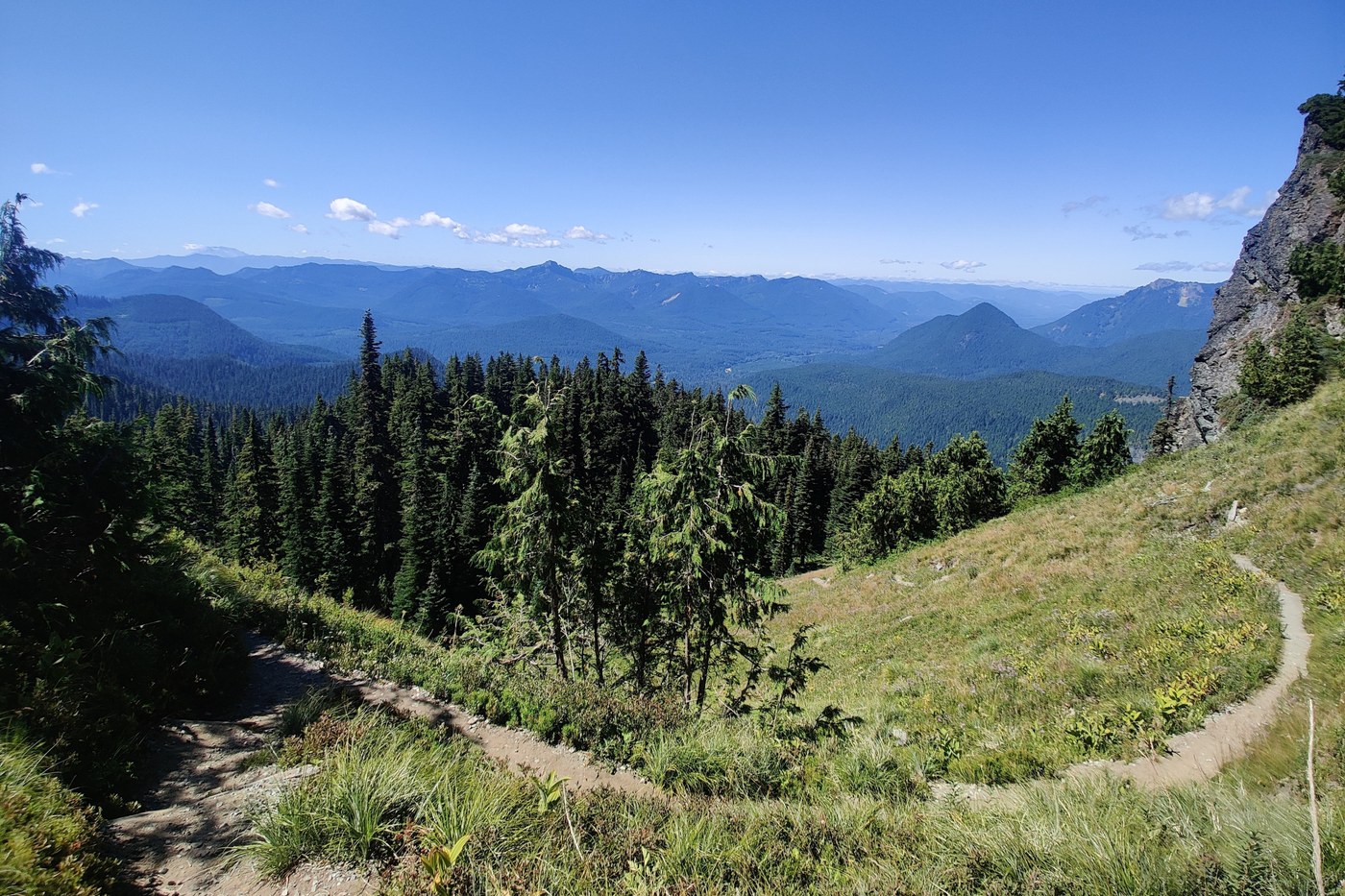
The Trail:
- The route follows the well-defined Eagle Peak Saddle trail up to the saddle. From there, it is a short scurry up to Eagle Peak, then back down to the saddle where you will follow the ridgeline to the summit of Chutla. After summiting, the route returns down the ridgeline the way you came for a short distance, before veering (descending) off-route (and off-trails entirely) to connect with the Wahpenayo hiker’s trail. Follow the hikers trail up to the ridgeline, where the trail becomes more well-defined the rest of the way to the summit.
- The trail is generally consistent throughout, gaining roughly 750ft of elevation per mile. It has some light scrambling (primarily on Eagle and Chutla) and route-finding (on the way to Wahpenayo) as well. Each of the peaks have a slightly different viewpoint, with the Wahpenayo summit having the best views (in my opinion). Overall, a great day in the mountains! Also, I encountered a brown bear on the trail on my way back from Wahpenayo, so come prepared!
- Hike Stats (averaged between two GPS tracks):
- Eagle Pass - 3.55mi, 3,000ft ^
- Eagle Peak - 3.7mi, 3,200ft ^
- Chutla Peak - 4.15mi, 3,450ft ^
- Wahpenayo Peak - 5.1mi, 4,475ft ^
- Eagle Pass Trail Junction - 6.2mi, 4,530ft ^
- Back to Trailhead - 9.0mi, 4,625ft ^
- Bugs: Bugs were present throughout, but not bothersome.
- Road: Plenty of parking for the trail can be found in the Longmire lodge / welcome area. There may be other parking options as well. It’s a short walk from the parking lot to the trail start.
- Gear: No special gear required for this hike in the summer - just a GPS perhaps.
Full report:
- Eagle Peak:
- The route follows the well-defined Eagle Peak Saddle trail up to the saddle From here, turn to the climber’s left and follow a hikers trail up the ridge. Following the trail will lead you to a 20-foot boulder wall. It may be possible to climb this short Class 5+ wall, however, an easier route exists. Downclimb to the climber’s left as a hiker’s trail wraps around the cliff face - leading to an easy Class 2 / 3 scramble to the summit. Downclimb the way you came, back to Eagle Peak Saddle.
- Chutla Peak:
- From the saddle, find a hiker’s trail following the ridgeline connecting Eagle and Chutla Peaks. You will lose a bit of elevation while downclimbing on the route, but it isn’t significant. The trail follows the ridgeline, meandering under, around and through some smaller trees on the hiker’s trail. Nothing is too intense here, but some route-finding and minor bush-whacking is required.
- Wahpenayo Peak:
- Choose-Your-Own-Adventure:
- From the summit of Chutla, descend the ridgeline toward Eagle Peak Saddle. Keep an eye to the south, aiming for a route to connect to the hiker’s trail of Wahpenayo. There is no trail here, save for some game trails that meander through steep dirt, grass, and intermittent rocks/scree. Your goal will be to descend the steep slopes of Chutla to intersect with the hiker’s trail of Wahpenayo. My route cut hard down the slope and to the east. I minimized my descent as much as possible and aimed for the rocks/scree early. A smarter maneuver would have been a straight descent, down to the hiker’s trail (which you can’t really see for above) and then proceeding from there. However, no amount of planning will eliminate the need for steep dirt/grass side-hilling if you choose to connect the peaks in a loop.
- Back to Eagle Peak Saddle Trail:
- The alternative, to continue from Chutla on to Wahpenayo, is to descend the way you climbed all the way back to the saddle. Follow the established trail back approximately 0.5 miles to a point where the trail heads east to a semi-prominent T-junction. The hiker’s trail to Wahpenayo continues eastward, while the Eagle Peak Saddle Trail continues descending towards the south/west. This will add some distance to the hike, roughly 1.0-1.2 miles, but it will be the easier route in terms of technical difficulty.
- From below the ridge, leading to Wahpenayo:
- There are two hikers trails leading up to the ridge. One to the left and one to the right. The one that hugs the rocks more closely (the left) is the better of the two. Upon gaining the ridge the trail becomes much more obvious as it wraps around to the north of the ridge. From this point, follow the ridge on a moderate incline up to the false summit. The true summit is just an easy, 5-minute scramble further along the ridge. Return the way you came, following the moderately identifiable hiker’s trail back to the Eagle Peak Saddle Trail.


Comments