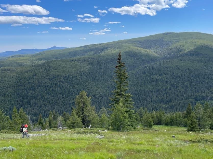
After two fantastic years of focusing all of our attention on the Albert Camp Trail, much of the deferred maintenance needs have been addressed on that trail. So for this year's rendition of the Pasayten BCRT on the Tonasket Ranger District, we decided to address the best loop route out of the 14 Mile Trailhead: up Albert Camp, through a portion of the Boundary Trail, and closing the loop via the Deer Park Trail (roughly 15 miles total). We still found plenty of recent downfall to address on the Albert Camp Trail, along with some areas of deferred maintenance plus drains that needed to be cleared. We camped at the big campsite at roughly the 5.5 mile mark for night 1. On day 2 we packed up and continued all the way to Sunny Pass, arriving a little after lunch. The group decided we had enough energy to make it all the way to the campsite at Clutch Creek on the Deer Park Trail that night, working as we went. We encountered enough downfall and brushy areas on the Boundary Trail that one saw team stashed their equipment to come back up on day 3 to finish log-out there, while the second saw team continued across Deer Park that day. On day 4 we all continued to address downfall plus the worst of the deferred maintenance needs on Deer Park Trail until it was time to exit.
Since Deer Park Trail hasn't received heavy maintenance in quite some time, there is still additional deferred maintenance work needed. A BCHW crew was planning to come in the weekend after our trip to do some additional work, but I expect there will still be plenty more to do to bring the trail back to standards. I'm already tentatively planning a return trip in 2026! But in the meantime, the worst problems have been addressed and this trail should be fairly easy to navigate for the rest of this summer. Read some of the older trip reports to see how it used to be, but it is now easy hiker access (perhaps somewhat trickier equestrian access, with a few narrow spots remaining for those with pack animals). It makes a really nice loop backpack route! The toughest part is the hike in & out of the campsite on Clutch Creek for anyone who decides to utilize that campsite. It's really the very best water source on the entire route, but it is a very steep 1/2-mile of trail that leads down to it from the Boundary Trail junction (& then that leads back out of it the next morning)! We cleared quite a few trees from this section, too, but it is a climb. Still, worth it to have access to a big creek right next to camp! The other water sources are fairly small in comparison. For anyone without a high clearance vehicle or who wants to camp the night before/after a backpack trip in the Pasayten, this is a great one to consider! Fourteen Mile campground is very nice, Albert Camp trail is gorgeous with fantastic wildflowers and views, and it's great to have a shorter loop option that takes in all of the highlights of the Pasayten around Horseshoe Basin (those not out doing trailwork can easily spend a night or two within the Basin to take in all of the beauty of that location, too!).
Trip Report
Albert Camp, Boundary Trail - Pasayten & Deer Park — Thursday, Jul. 3, 2025
 North Cascades > Pasayten


Comments