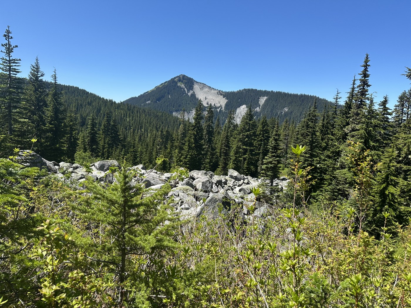
Looking for a rewarding, lake filled, 360 degree views day or overnight hike, the Ira Spring - Mason Lake & Mt Defiance meets those goals and more. The trails were in great shape and wild flowers abound. Within a mile and 1/2, Mt Rainier comes into view and gets better with each foot in elevation gain. At approximately 3 miles, the Bandera Mtn trail junction is on the right. The Trail up Bandera is more of a scramble and mostly sun exposed with minimal shady spots. As the temperature was in the mid 80's, the hiker friendly Ira Spring to Mason lake trail on the left was the better choice. From the Bandera/ Ira Spring junction it was about a 1/4 mile to the crest and then a slight decent to Mason Lake. Approaching the lake, the bugs kept getting worse and were in abundance once at the lake. There were a few muddy spots and one blow down that was easy to get over. Leaving Mason Lake the trail meanders up a slight incline and in about 1/2 mile is the junction with the Mt Defiance Trail, towards the left and Pratt Lake Trail to the right. The Mt Defiance trail gains slight elevation for about 1/2 to 1 mile and then the elevation gain gets serious. The trail had several muddy spots and had numerous sections with roots. The elevation gain continues up to the ridge line and then up the ridge until the trail opens up to an amazing traverse with great views and loads of wild flowers, at the end of the traverse the junction to the Mt Defiance trail is achieved. The trail to the summit is a rough boot path and careful stepping is a must. The trail gains quite steeply and is about 1/4-1/2 mile plus or minus until the summit is achieved and the rewards of the hike with over 3,000 ft elevation gain is well worth the effort. From the top, 360 degree views were incredible. The number of lakes you can see are numerous, the central cascades are showcased and Mt Rainier and Adams were amazing. The bugs however were really bad and a mosquito net for the head got a lot of use, a must to have. The hike down was tenuous at first until the main trail is reached. From there the hike down is a bit steep for about 3/4 mile. After that, the trails back to the parking lot were an easy hike back down. A rest stop at Mason Lake was a nice respite. Total miles was about 12, Elevation gain over 3,000 ft and duration about 7.5 hours. One of the best hikes off the I-90 corridor if lakes and Mt Views are ones goal
Trip Report
Ira Spring Trail - Mason Lake, Mount Defiance — Monday, Jun. 30, 2025
 Snoqualmie Region > Snoqualmie Pass


Comments