

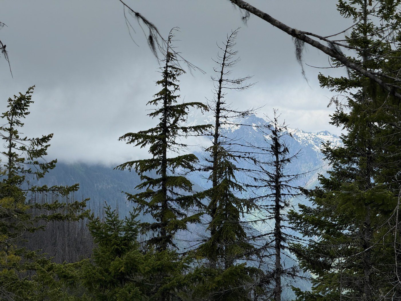
Wow, I like this trail!
Note that hiking this one is 25% offroading adventure. The road that climbs up to the trailhead is challenging, and I definitely wouldn't attempt it without a high-clearance vehicle. There are steep water bars periodically, so if you don't like how the road starts out, know that it only gets worse. You don't *need* four-wheel-drive, but after spinning my rear wheels getting over one of the berms, I shifted into 4WD and was glad I had it. It gets steep enough that my "low washer fluid" light came on!
There's also debris -- fallen rock and trees -- strewn about, so I think whether this road is passable without hopping out to perform some minor manual work varies day to day. And I can't imagine running into a vehicle coming the other way on much of this road. It's steep and narrow, and backing up to let someone pass would be nerve-racking.
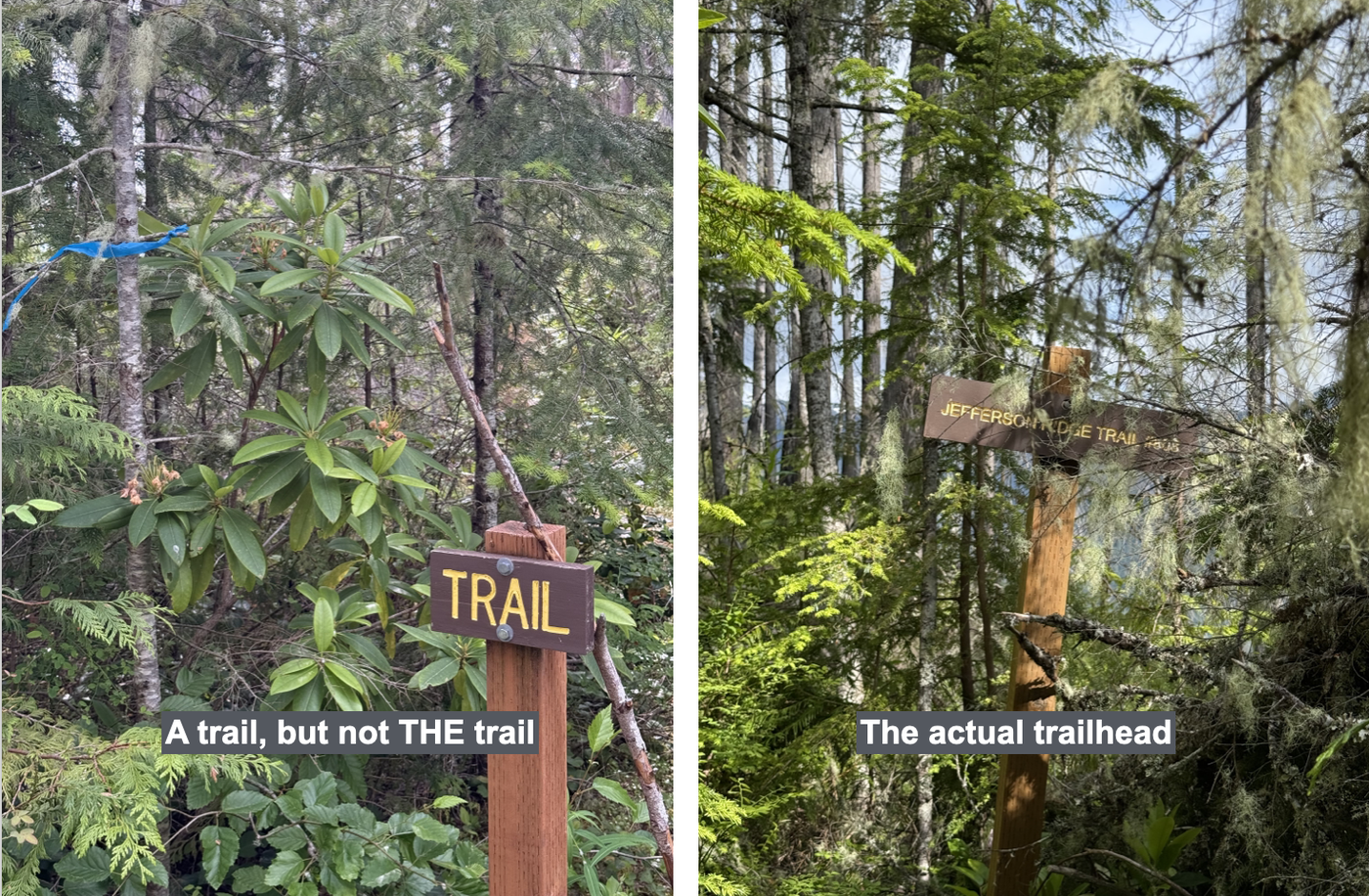
As the directions say, the trailhead is at about the 3.1 mile mark on FS-2421, maybe a couple of clicks further. See the attached picture showing the wrong trailhead (leading down to an even earlier starting point, perhaps?), which is followed a stone's throw later by the actual trailhead.
The trail has some signs of recent work, for which I was grateful, but be aware that it's never great, and it's often faint, overgrown and hard to follow. But it's always there if you look carefully, except for maybe a couple of spots where a complex tangle of blowdowns obscures it, but press on and it will reappear.
If, like me, you use Gaia GPS, note that the first part of the trail isn't on the map, only the section after you cross the road further up. Both parts are a nice hike, though, so I would definitely start lower. It's only a little over 1.8 miles from this lower starting point to the lookout site, so why not?
The Gaia map shows the trail continuing a bit past the lookout site, down the ridge and back up to the next highpoint of a similar elevation, but I didn't go past the lookout. That was a pleasant area to take a coffee break, but to my mind, the rocky outcropping that's a brief and easy scramble up from the trail a bit earlier on the ridge -- and has a USGS benchmark on top -- is the better spot, although it doesn't look west toward some of the more impressive Olympic peaks. I guess the bottom line is it's worth tagging both.
Bugs were swarming where I parked at the trailhead, which didn't bode well, but that was actually the only place where they bothered me, both coming and going. Otherwise, it was just a lot of bees working hard to harvest pollen from the blooming wildflowers, mostly rhododendrons and beargrass.
I'll be back for a sunnier day.

Comments