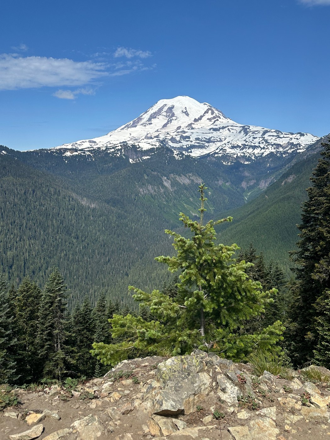
MON 6/17 08:30 Start. Temp 56 F and overcast. Sun came out by 11:00.
trail Conditions
- Trail is clear of obstructions and easily identifiable where the snow has cleared.
- Snow fields start just above the small stream crossing at 5,037 ft - here: 10T 612053 5184798.
- Snow becomes mostly constant (18+ inches of hard icy snow with sun-melted slushy surface) by 5,200 ft. Specifically here: 10T 46.80765, -121.53072. At this point trail is hard to discern so you follow others' tread impressions. Snow is hard packed, so you aren't post holing; you are just slipping on the slushy surface of uneven and often steep snow mounds. I turned back to save a weak knee. A group of 4 and 2 solos appear to have gone on farther.
- Only water is the stream crossing described above.
- As I went in a National Park Service crew was clearing a large stump from the trail. Work down by the time I came out. Thank you Park Service Employees and US Taxpayers - our tax dollars delivering real value.
Trail head
- As you head south on 123 about .25 miles past Mile Post 10, there are two parking areas on the right shoulder. The further south one is still about 100 yards north of the trail head.
- The closer area had 2 cars at 0830 and 3 cars at 1330.
- Closest toilet is Wapiti Outdoors before you enter NPS or take road toward Sunset and use restrooms just inside NPS gates (pass required).
Advice to the first timers
- This trail is up, up, up. Only do it if you are in shape, as it is generic forest until you get to my "break spot" (see below).
- Trail faces south, so despite tree cover the trail is largely exposed to sun and that increases as you go up. This would be a scorcher on a sunny hot August day. Best for cool, windy days in early July or autumn.
- At about 4,795 ft. the trail takes a nearly 180 switchback to the right. Just before that, look for the social trail to the left. It leads to a drop dead beautiful rock outcropping with a view of Mt. Adams to your left and Mt. Rainier straight in front of you. Simply beautiful stopping point whether you make it to the lookout or not.
- I went this early on a lark. Don't make my mistake. 10 years ago, I did this trail in September and enjoyed the spectacular views for the top.


Comments
fergie on Shriner Peak
Shriner Peak is a tough hike!
Posted by:
fergie on Jun 17, 2025 09:13 PM