I
Trail terrain: The first mile or so is a gentle grade, but the trail soon becomes moderately steep for the rest of the hike, with only occasional short areas where grade lessons a bit. It is a moderately steep grade for almost the entire trail. Don't believe WTA's description saying there's only a 3/4 mile steep section! Mostly the trail is well built with good tread, but there are several loose rocky avalanche chutes to cross, and when I hiked, some snow and mud after camp Mystery.
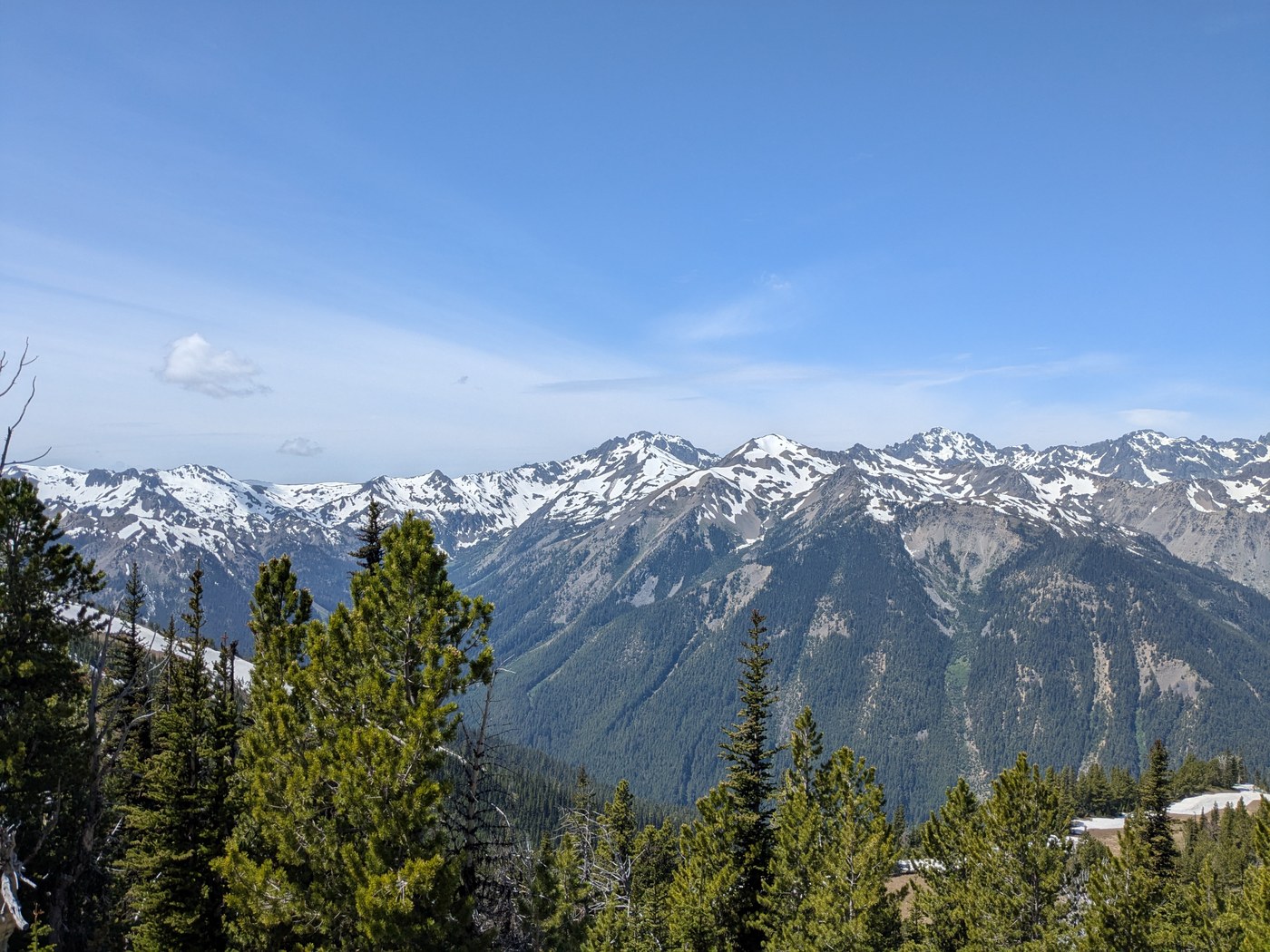
Views along trail: The first two thirds of the hike is in the forest, with very few views, although the cascading Big Quilcene river is nice. WTA's hike description variously implies the forest section is only either 1.5 or 2.5 miles; it is 3.5 miles. (WTA is really trying to market this trail!). For the last 2 miles up to the pass, trees are smaller and there are meadows, so the views are incredible for most of this section. Go a couple hundred yards on the trail to the right at the pass for better views.
Trail traffic: Very light on a weekday, I saw 10 other people. Unfortunately, there were a couple people camping and trampling the meadows just below the pass, even though a designated campsite is just a half mile back at camp Mystery.
Rating: 3 out of 5, views are really great, but long steep hike makes you wonder if it was worth it. I'm glad to have done it once while I still can, but won't do it again.
FR27 is good wide dirt road for a couple miles, then turns into paved one lane road for the rest. FR2750 is one lane dirt road with many potholes mostly toward the end, but any car can make it. Take it easy and watch the road.


Comments