I was part of a WTA Back Country Response Team (BCRT) that worked several trails feeding into Myrtle Lake, Cow Creek Meadow and the Larch Lakes basin.
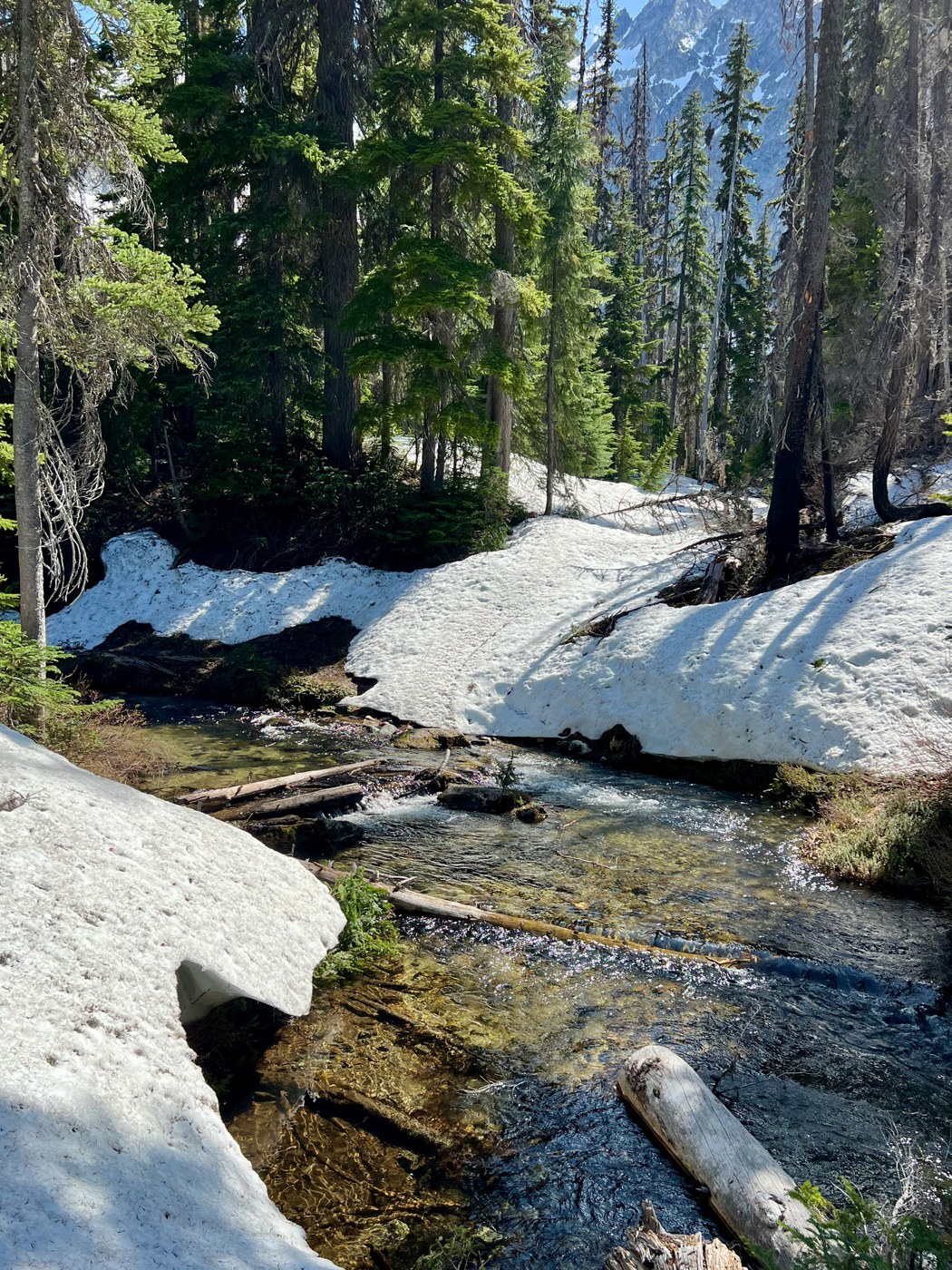
Our group of 13 (joined by Entiat USFS Ranger Sam for the last 2d) logged out the Cow Creek Trail (1404) up to the creek draining the meadows (about 5100 feet, where snow and the fast-flowing creek halted further progress), and the Larch Lakes Trail (1430) up to lower Larch Lake (about 5700 ft) where snow again halted further progress. We also logged the Larch Lakes Spur Trail (1430A); crossing Cow Creek and Larch Lakes Creek requires two little-bit-nervy 30 foot single log highwires or a less-nervy butt-scootch. We also went up-river to brush out the lower 1 mile of the Emerald Park Trail (1230), up to about 4800 ft. This work built on prior WTA Pro teams' work in logging out this trail leading to Milham Pass.
We basecamped for four nights at the north end of Myrtle Lake, where the intrepid beavers had added to their dam of the outlet, raising the lake level another few feet to flood out last year's campsites. This caused us to resort to digging in several more rudimentary tent platforms amidst the trees recently downed by a USFS crew. We brushed the camp area to make it more serviceable and reduce hazards. We also made headway in clearing dead trees around the camp at the south end of Myrtle Lake - where still-standing dead trees remain a hazard.
The Entiat River Trail had been mostly cleared before our arrival. Altogether we cleared about 7.5 miles of trail: the 3.5 miles from the Entiat River to Cow Creek Meadow + 0.7 mi Larch Lakes Connector + the 2 mi of Larch Lakes Trail from the connector to lower Larch Lake + 1 mi of Emerald Park Trail, as well as the trail to the south Myrtle Lake sites. We took out over 100 trees fallen across these trails.
Conditions were varied: we had frost our first 2 mornings and 90 °F our last 2 afternoons, with rain last Wednesday night. Flying bugs were a non-issue, but most everyone encountered a tick or three. Water was in fairly good supply at the lower elevations - from the Myrtle drainage, crossing Cow Creek and Larch Lakes Creek - but more difficult to access higher up until you reach Cow Creek meadow and lower Larch Lake drainages.
This was my 4th BCRT. The group's spirit was again amazing, as was the leadership team of Crew Lead Melissa and her 4 Assistants. This team did a great job in ensuring we all kept safe, had fun, and got spit done. I encourage anyone with an interest in using these wonderful trails to try joining a BCRT: its a wonderful feeling to be able to give back to those who've managed these trails before us, as well as an opportunity to explore some new areas (and even scout out trail for future trips!). Given recent cuts to USFS funding, there will remain considerable need for volunteer efforts like WTA BCRTs to keep our trails open.


Comments
Loren Drummond on Entiat River, Cow Creek Meadows, Larch Lakes (Entiat)
Thank you so much for all your hard work and time (and the fresh report). Shout out for Ranger Sam, too!
Posted by:
Loren Drummond on Jun 11, 2025 03:45 PM
Switchback Ladybug on Entiat River, Cow Creek Meadows, Larch Lakes (Entiat)
Thanks to you and the BCRT!
Posted by:
Switchback Ladybug on Jun 12, 2025 06:57 AM
Switchback Ladybug on Entiat River, Cow Creek Meadows, Larch Lakes (Entiat)
Thanks to you and the BCRT!
Posted by:
Switchback Ladybug on Jun 12, 2025 06:58 AM