
-The road to the TH is an average National Forest road, pot holes the width of the road and a drive over a cleared out rock slide. The bathrooms at the trailhead are still closed.
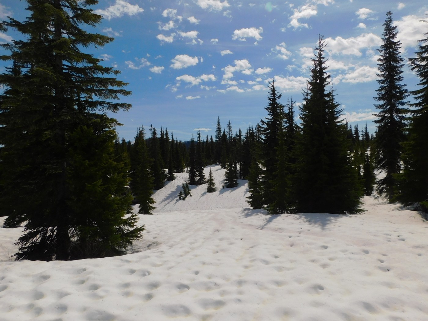
-The snow doesn't really start until 4200ft. The snow was slushy and heavy and I put on snow shoes from here. There is no trail for now so just keep going along the ridge, you can just follow where the trees are the clearest and it'll work just fine. The top had clear views all the way to Rainier with the peaks all around.
-Coming down from Benchmark and continuing West Cady Ridge, I followed an animal track across the mountain face until reaching the PCT. The snow on the mountain face made the push slow, almost felt like I was going to tumble a few times.
-The PCT is, along with most of this hike, still under considerable snow. Multiple times I sat down and slid as best as I could, dodging trees and other obstacles.
-Pass Creek Trail was a doozy for me as I did not do enough research into the trail. For starters there is no trail until just before the North Fork Skykoimish River meet, and lots of water crossings. Most are fine, with little streams or, in rare cases, some have a small bridge. There are three water crossings that do not have a bridge and one with a considerable current, it started to pull me downstream as I was crossing the deepest point which went up to my thighs.
-The Skykomish River trail is snow free and easy to follow.


Comments
Foist on West Cady Ridge to Benchmark Mountain, Pass Creek, North Fork Skykomish River
The Pass Creek trail is definitely a trail. It was in very nice shape in late summer last year. You just couldn't find it because of the snow.
Posted by:
Foist on Jun 17, 2025 12:24 PM