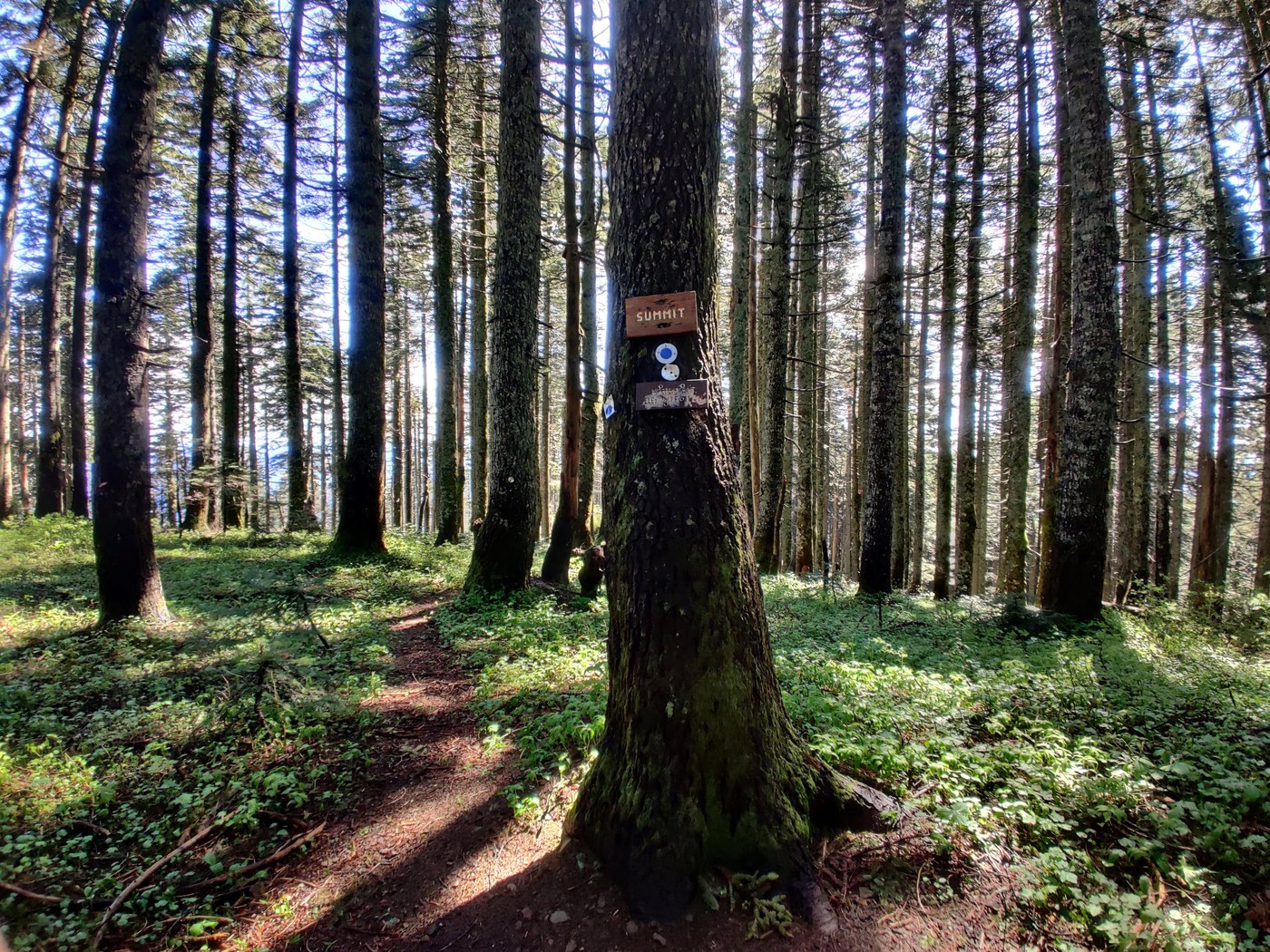
Trail: The main trail loop (Augspurger to Dog and back to the trailhead) is in good shape. There were some muddy spots higher up the trail, but they were minimal and easily navigated. You can navigate the trail as an out and back, or you can do the loop with the Augspurger Trail. I’d recommend doing the loop, however, it is a bit longer (but with a generally more moderate incline/decline on the Augspurger Trail). The Augspurger Trail - towards Augspurger Summit - is very overgrown in a handful of places. A well-defined trail does exist beneath the overgrowth, but it can be tedious at times. The turnoffs on this trail are also not especially obvious - I would recommend having a GPS track so you know when to start looking for trail branches.
FLOWER STATUS: Full bloom but diminishing. A handful of flowers have already bloomed and are finished. A handful are on the upward trend still. The majority are in full bloom (if slightly on the decline). I expect there will be flowers for a while still, but this week is probably the last of the "prime time" season... realistically, probably by early next week.
Bugs: Minimal. Not an issue.
Road: Parking lot for the trail is immediately off the highway.
Gear: Can be done in low cut hiking or trail running shoes. Some folks will find trekking poles useful due to the incline. I recommend a GPS if the Augspurger Mountain summit is in your plans. Might also recommend a pair of waterproof pants/shoes if going to Augspurger in the AM (the dew on the overgrowth is enough to soak shoes and there are some prickles present in the overgrowth as well).
More Complete Trail Summary:
Dog Mountain Summit: Very straightforward. I did the loop in reverse (Augspruger to Dog Mountain route), but I might recommend doing it the other way (if Dog Mountain is the only destination). The incline is more significant on the Dog Mountain trail, which makes the decline less severe if you use the Augspruger trail on the way back down. The Dog Mountain Trail is very well marked, has minimal obstacles, and is generally very easy to follow. The elevation gain is pretty significant, particularly considering the distance. There are actually two Dog Mountain Trails - the old and the new trail. Both are very well defined and end up in the same location. The Old trail is about a ⅓ to ½ of a mile shorter than the new trail - as such, the incline is more severe. So choose your own adventure on that. The views are best just below the summit. The actual summit is treed and offers no real views - but is only a minute or two past the the best viewpoint.
Augspurger Mountain Summit: Less straightforward than Dog, but not technically difficult. From the spur of the Augspurger/Dog Mountain trails, continue traveling north - you’ll know it’s the right direction because you will immediately begin losing elevation (about 400’ or so in total). This is the point where the trail is most overgrown - albeit intermittently. If you don’t get deterred by the overgrowth in the first 1/3rd of a mile on the descent, you should be good the rest of the way. After descending, the trail will dump you onto an old forest road, which you will follow for a good distance. The incline is moderate and after the overgrowth, the forest road is a welcome respite to be honest. After some distance on the road, you will come to a sharp turn (the turn goes left) on the road - this is your cue to look to the right for a trail leading into the forest. A sign exists, but it is not prominent. I threw some logs onto the road as a visual cue, but I’m sure someone will move them eventually.
IF you miss the turn, you can rejoin the trail higher up - however - this will add some distance and a bit of off-trail navigation. IF you do not have a GPS, I strongly discourage this.
Assuming you find the trail, you will follow it as it gradually winds up to a ridgeline where it meanders for a bit. There is overgrowth here as well, but it is generally less invasive than earlier. The trail is well-defined from here on out - follow it to a fully-treed summit. There was a trail that extended past the summit, presumably to get a view looking northward. I was in a hurry so I took a quick break and then started back towards Dog. One last thing. As you approach the ascent back to the Dog/Augspurger junction, you should be paying attention for a trail (on the left) going into the woods towards the ridgeline. I missed it on the way down and had to backtrack to find it. It is well-defined, but it lacks physical cues and is easy to miss if you aren't paying attention.
Total distance: 14.4 miles (averaged between two GPS devices)
Elevation Gain: 5,380 feet (averaged between two GPS devices)


Comments