
I used this route to break-in my camping season and test some new equipment. Getting to the Goat Mountain TH from the north had a bit of a detour due to bridge construction on Forest Road 25 where we had take FR 2742 near Taidnapam Park through Port Blakely land and by the Cowlitz dam to FR 25. FR26 passable with some larger potholes building, but I made it just fine with a Honda HRV. The gate continuing past the Goat Mountain TH on FR26 was still closed for the season.
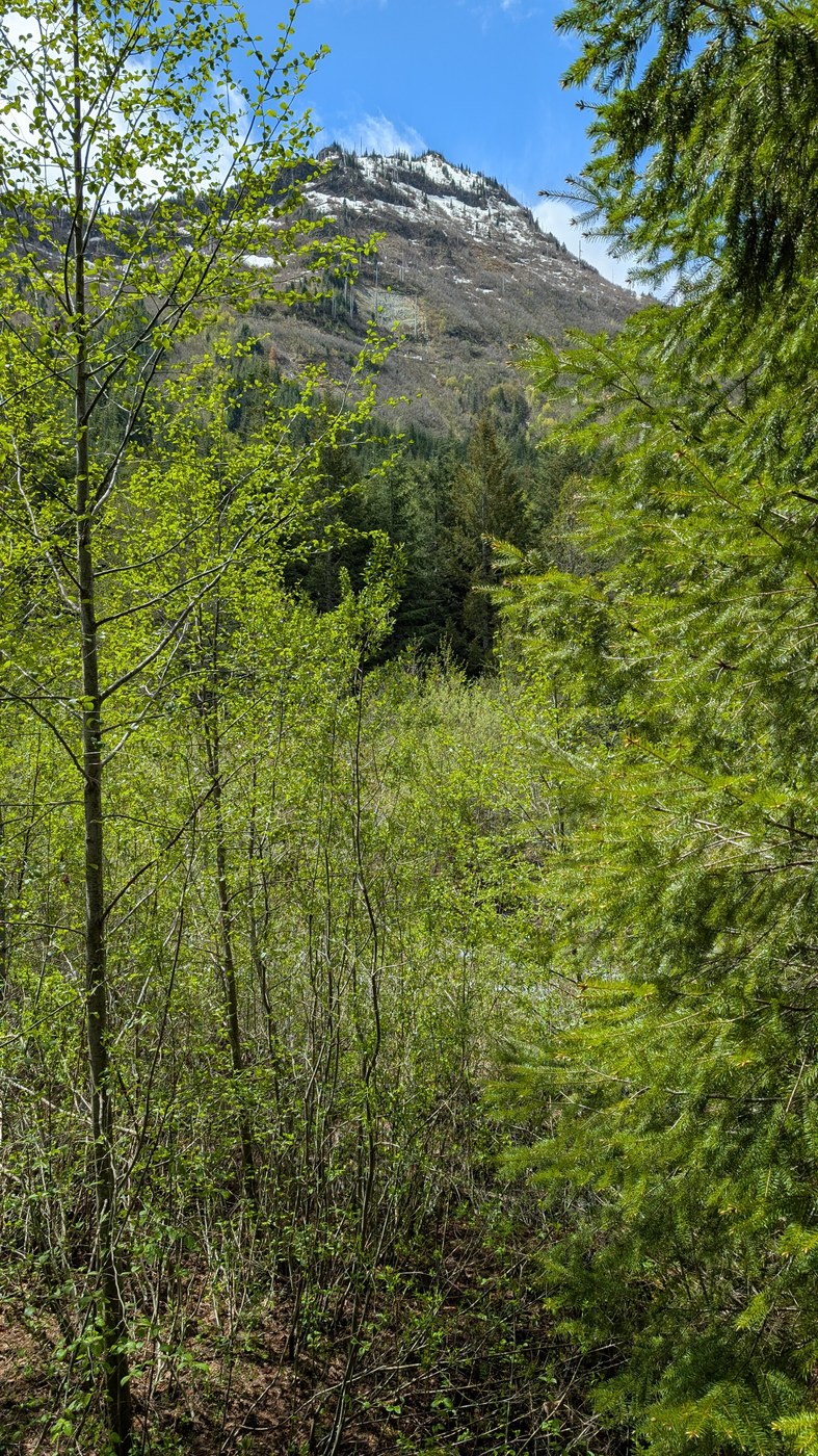
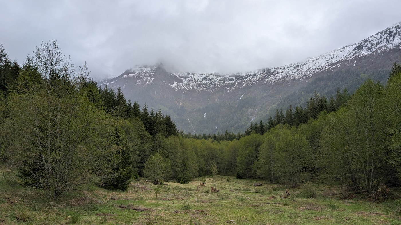
It was a great trail westbound down the valley that hugged close to the river with some great views of the peaks across the river, even with the cloud capped peaks. Snow level appeared to be around 4000 ft on the north facing slope (measured by my calibrated eyeball and contour lines). The trail for the first four miles were great with some minor blow downs to pass easily over with the first being about .5 mile from the Horse Camp. The trail was a bit wet but not very muddy. After the first camping area, there was a major blow down that took some navigating to get through (in pictures) at around 4.8 miles (N 46.36653, W 122.14293) from Goat Mountain TH. After that, it was standard hiking to the next camping area that I choose to stay after I was done with the trail. Just before the Vanson Ridge Trail junction, the bridge was hit by a tree that made traversing it more difficult than I wanted to do at the time since my turn around point was the junction anyway. Along the way I saw plenty of left behind evidence of wildlife but only saw one group of Elk after the second camping area. Some of the first blooms were starting with Nootka rose and other unknown flowers. I did not see any other person on trail or in the camps.
The camping areas (about N46.36277, W122.13988 and N46.37426, W122.15533) was a great location next to the river with a couple of areas to set up tents on either side of the trail with easy access to the water to top off supplies. The temperatures that I encountered were highs in the mid 40s to mid 50s and the overnight temperatures were about mid to upper 30s.
I used Gaia hike map layer and Green Trail 332S map to assist in routing.


Comments