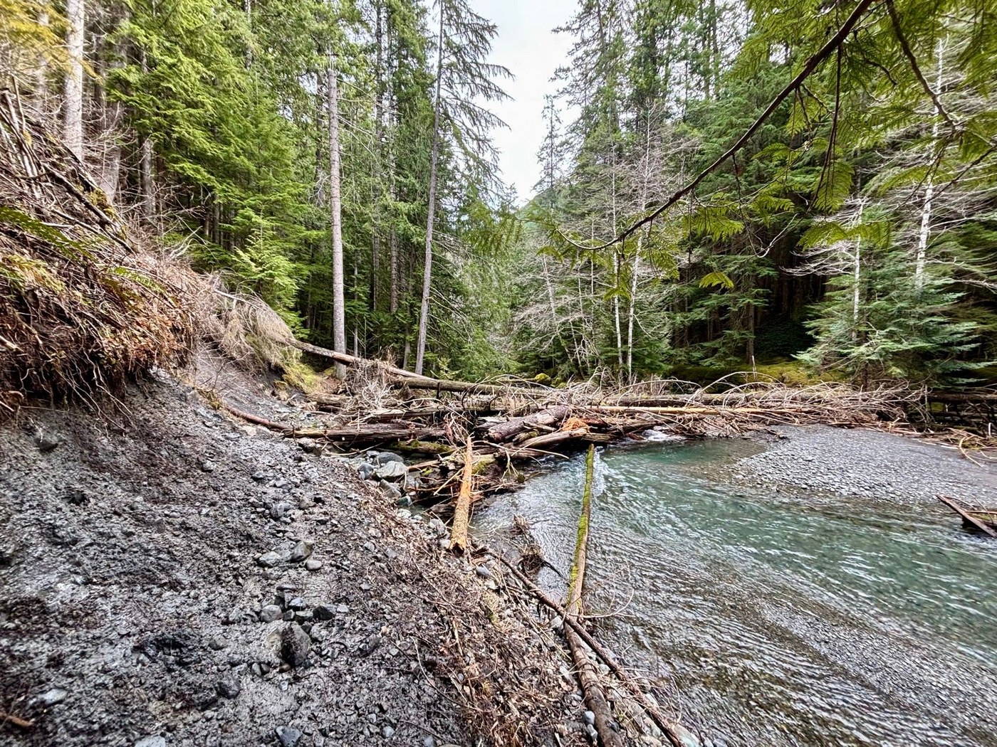
I did a lovely morning lollipop-shaped jog connecting the Lower Dungeness River Trail and the Gold Creek Trail.
Not wanting to do a long drive on a forest road (saving ~20 min each way), I got to this 17-mile loop with a 3-mile spur from FS road 28 (NF-2909 on Google), which is what Palo Alto Rd turns into. This spur is actually an old forest road itself, numbered 2860 on FS maps (2880 on Google). It has a few impressive washouts, but makes for a fine connector trail; the washouts have well-established detours. WTA calls the spur the “Gold Creek extension trail”. There’s a small pullout off FS 28 with a gravel mound where you can park (this is 0.7 miles past the right turn that would take you to the Dungeness River Trailheads on NF-2880).
This is a lovely early season loop. All of the snow has melted already, and the trails are in great shape. I won’t repeat the WTA descriptions, but I found the smooth trails and rhododendron forest (on the Gold Cr Trail) to be particular highlights. I chose to do the loop clockwise (going south on the Gold Cr Tr then going north on the Lower Dungeness R Tr) so that the road section between the two was downhill (3.5 miles). The start of the road descent (3200', at the Tubal Cain trailhead) was the high point of the loop and there was some snow above this.
Trail conditions were just superb. There were only a ~dozen blowdowns on the whole route. There were a few washouts with slippery footing; the muddiest one was 1.3 miles below the Upper Dungeness TH. All the bridges are intact and water crossings were no problem despite there being a ton of streams along the whole route. Previous reports suggest much worse trail conditions, but this route was part of the Olympic Mtns 100k last August and I suspect they cleaned it up. The trail would obviously be brushier in the summer; that could also explain the difference (I had to contend with no brush).
Stats: The loop is 17 miles, 4000' gain. Adding the spur to make the drive shorter, it comes to 23 miles, 4700' gain. The trails are super smooth so it took me a bit over 4 hours.
I saw 3 groups out today. Very quiet considering most other trails in the area are snowy.
Check below for a link to a CalTopo map I made to record notes on the route.


Comments
wet red on Gold Creek, Lower Dungeness River
Thank you for the trail report. The Gray Wolf trail crew maintains the lower Dungeness trail. We fight that slide/washout area every year. We worked the lower part of the trail last month and we'll be back later this month. Last year we began replacing the rotting puncheons on the trail. With help from WTA and the Youth Corps, we are making progress. Glad you enjoyed the hike; it is a pretty area. (www.graywolftrailcrew.org)
Posted by:
wet red on Mar 11, 2025 10:15 AM
LostLemonhope on Gold Creek, Lower Dungeness River
Thanks for all your work, and the new puncheons are excellent! I love your trail crew reports on your website; very informative. If I scrolled just a little bit further on WTA, I'd have seen them BEFORE my run! These steep slopes are a blessing and a curse, eh?
Posted by:
LostLemonhope on Mar 11, 2025 11:01 AM