


When we arrived to the trailhead around 11am on Saturday on a beautiful fall weekend, we joined many others at the Rainy Pass trailhead. So yes, parking is intense. We were able to snag a spot close-ish (not too far; cars were on the highway a mile back) to the trailhead as people circulated out.
Hike up to Heather Pass was a breeze. Lots of people in both directions.
The boulder field was interesting and my group couldn't fully figure out our logic on our two trips across... Heading to Wing Lake, we took a high route through the field and follow cairns. On the way back, we took a low route that followed trail in lots of parts and avoided being in the boulder field the whole time. But I guess we didn't see that on our way in? I'd recommend taking the low route if you see it, but there are cairns throughout the boulder field that make any adventure fine. It is fun!
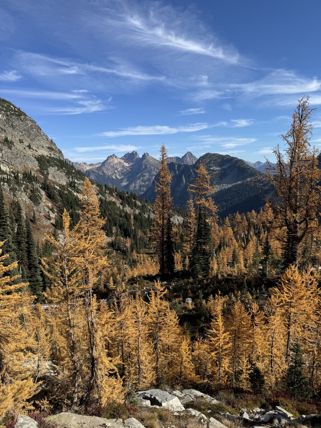
Trail from Lewis to Wing lake is steep; don't underestimate it like we did! It is an amazing walk up through dense larches. So gorgeous. Wing Lake is also beautiful. We set up camp alongside many others; solitude at Wing Lake was not possible during our stay. On an average day, there are many ideal camping areas. But this weekend, it was crowded. Lots of people getting up to see the sunrise peak up in the morning.
For Black Peak: We brought helmets and wore them the whole time although they didn't get "utilized" per say. Lots of loose rock on the scree field. Majority of people were wearing helmets. The scree field has multiple favorable routes. We took a left switchback way up to avoid a steep ascent but agreed that the steep ascent straight up would have probably been better. Right before you get to the saddle and out of the scree field, there is a steep-er and slippery section. This is all class 2 on loose scree, maybe class 3 right before you hit the ridge.
The rest of the journey is a lot of route-finding. Lots of ways to go but definitely some better than others. We saw parties coming from different places, some backtracking, some regretting their route, etc. We had a map and it helped us in places where the best path forward wasn't very obvious, which did happen a few times, and we felt like following the map's route make our ascent to summit pretty moderate and comfortable. For example, we followed a trail mid-way up that took us left and then cut across using a traverse rather than going straight up/down the loose and steep gully. That was best. You are sometimes using your hands but it is mostly walking and route-finding.
The final summit block for sure has class 4 moves and exposure. As you approach the summit, you stumble upon the rappel route first, signified by a blue sling. Don't climb up this and, instead, continue around right, where you'll find a better ascent with some committing class 4 moves.
It was awesome! Views of everything. Be careful on the downclimb!


Comments