We hiked the Boundary Trail/Pacific Northwest Trail from Peeve Pass going east, exiting along the Long Draw/Chopaka Mountain trail at the Cold Spring trailhead. This involved a long car shuttle -- almost 4 hours -- between our end point at Cold Springs and our entry point at Billy Goat trailhead.
Road and Trailhead at Cold Springs: the road to the trailhead is in great shape, graded gravel the whole way. I spent the night prior to the trip at Chopaka Lake and tried to take the road marked on the forest service map from the Chopaka Lake to Cold Springs campground/trailhead (it's the road that goes by the "Beef Pasture Cabin" on the USFS visitor map). Don't try it. The road was rough, 4WD or ATV only, and after half way and quite a number of cattle gates it ends in a wash out that no vehicle could get past. I turned back at that point. After following the graded road back out from Chopaka Lake for a little ways I decided to follow an unmarked, well-graded road that turns sharp right (coming from the lake it's a right -- it would be left fork if you're driving towards the lake from Coulee Road). That graded road was perfect all the way to the intersection with the road up from North Fork Ninemile campground to Cold Springs campground. None of my maps indicated which would be the main road for the stretch between the lake and Cold Springs, but just take the obvious one and you'll be on the right track.
Lots of parking at the trailhead at Cold Springs.
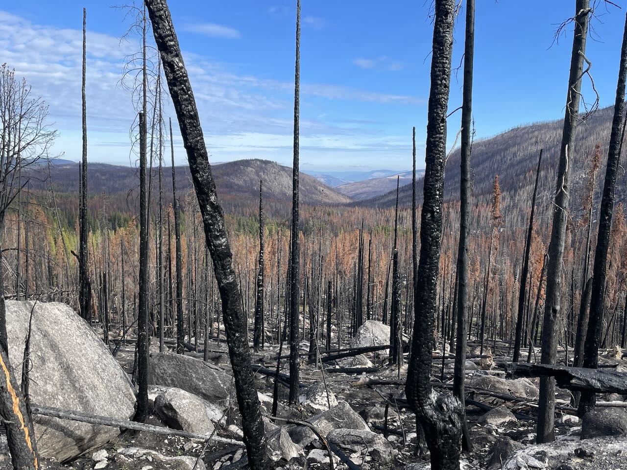
Trail: we started the Boundary Trail/Pacific Northwest Trail at Peeve Pass after accessing from the Billy Goat Trailhead. The trail west of Peeve Pass was closed to fire so our hope for a longer hike didn't pan out.
The trail east of Peeve Pass was in great shape, no blowdowns except a couple very small ones as we exited the Pasayten and got onto state land. Exiting the Pasayten to the east is also where the trail becomes not as nice, lots of cows and the wear they put on the trail, and much of it was clearly old road, had been logged, and mediocre along the Long Draw/Chopaka Mtn trail. An unfortunate way to end the trip, so you might consider a different exit point if you don't care about staying on the Pacific Northwest Trail as long as possible.
The Boundary Trail itself was stellar. Lots of views, changing scenery, good trail conditions including long sandy stretches of trail instead of the more rocky trail I had expected. Water was flowing at the springs and streams, plenty along the way to fill up water bottles. On account of the cows, I'd recommend having enough on hand for the last bit after exiting the wilderness, unless you don't mind sharing your water source with livestock. The last clean water heading east would be a couple of miles before Goodenough Mountain, so 7-8 miles from Cold Springs. We had marked escape routes along the way, but all of those trails were in pretty primitive shape or looked like they had received no trail work for quite some time. So leaving the Boundary Trail/PNWT for other routes might be challenging.
At Goodenough Mountain, it's worth the short side hike to the "summit". Nice views all around and a pleasant place for lunch or a snack. Very charming, also a dry campsite.
East of Peeve Pass we camped at Spanish Camp, very much a horse camp but also some nice spots on the rise above the ranger cabin. There wasn't anyone else there the night we stayed, and it looked like the cabin had been closed up for the season. Good water flowing.
Our next night was Teapot Dome. There's good flowing water and camping a bit past the first obvious campsites. That's a nice, quiet camp, open forest with lots of boulders that make for an interesting landscape.
We didn't stay at Upper Cathedral Lake, but it's very beautiful and would be a great camping spot. Good access to the water and swimming, stunning views of amphitheater and cathedral mtns. We saw climbers going up Amphitheater so there's entertainment if you're lucky enough to be there when people are ascending.
It's worth paying attention to where the old tungsten mine site is and taking the brief side trail to see it. Large old buildings that look semi-maintained and used, lots of space for group camping. Also a horseshoe pit with horseshoes if you need entertainment.


Comments