Let’s face it – most of us do not plan on doing a circumnavigation of Glacier Peak. Sometimes all we want is a leisurely stroll through accessible wilderness without much elevation gain. So, ignore the circumnavigator’s trip reports describing dire brush conditions on the upper Indian Creek trail (although the Forest Service in the previous trip report says they have taken care of that!) and focus on the first 2 1/4 miles to the new bridge at Indian Creek: It’s great! Excellent tread, zero logs, brushed out (thanks to the Forest Service) and all the stream crossings are dry this time of year. Fall colors have not yet started but should start soon.
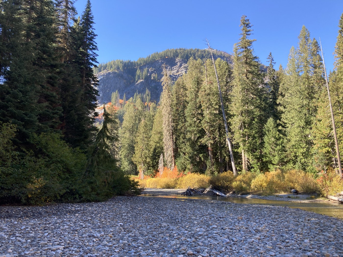
And there is a bonus: A fine beach on the White River just downstream of the confluence of Indian Creek and the White River. Great place to sit, enjoy lunch, admire the towering mountains and toss rocks into the White River if any of your party is so inclined. And if you have an interest in geology, you can try to figure out the source material for all the cobbles on the beach. Lots of granites, but no two look alike, and lots of schists/gneiss with a few odd igneous ones thrown in for fun.
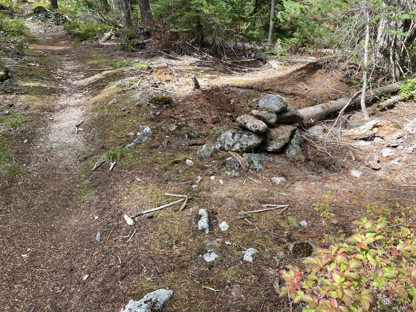
Now, how to get to the beach: At about 2.2 miles from the trailhead (about 0.1 miles before the bridge over Indian Creek) look for a rock cairn on the right (N 47° 59.34204’ W 120° 57.66570’). It may be helpful to go to the bridge and then come back along the trail – after all you really should check out Indian Creek. From the cairn head on a bearing of 33°(true) E of north for about 390 feet to a very large cedar stump (N 47° 59.39712’ W 120° 57.61740’). There is no worn boot track (yet!) but look for a route that is clear of downed trees, branches and brush and that follows that compass heading +/- 20 feet on either side. At the stump (it is by far the largest stump in the area) continue on about the same heading for another 100 feet, skirting a patch of devil’s club on your left, until you reach the forest side of the strip of brush along the edge of the river. At that point turn to the northwest and follow the back side of the brush along the riverbank for about 100 feet until you see a clear opening on your right through to the beach (N 47° 59.44572’ W 120° 57.59448’). There you are!
(A note of GPS caution: When you are in a valley formed by steep and exposed rocky terrain, the strongest signal from a given GPS satellite may be a reflection off the rock walls, not a direct signal. That will throw off your indicated GPS location, so don’t blindly trust your GPS receiver -- use hiking sense!)


Comments