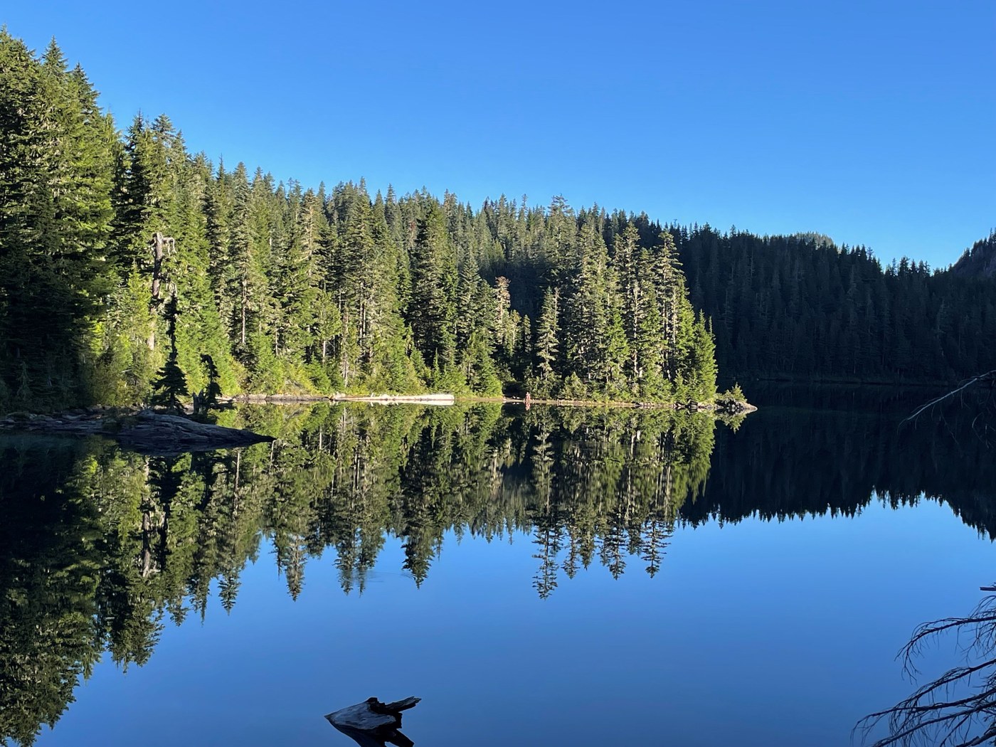
There is no pre-made trail description on the WTA site, so the boxes I checked are approximate. What I hiked was a 13.1 mile trip from Mowich Lake CG to Ipsut Pass (did NOT continue to Tolmie Peak), then down to Ipsut CG, then maybe a mile up the Carbon River... and back. I was scouting to see if the trail was suitable for a marathon length day hike (and having underestimated the Ipsut Pass section, I'll probably say no--that is a climb and a steep descent for a mile).
I left Seattle area about 5:50 and parked at the TH about 7:30, started hiking about 7:45. The road hasn't really changed in years--15 miles of washboard, some potholes, gravel, and much dust. I love my Subaru Outback, but the road is clearly not for everybody. Stunned to see a few Teslas at the TH. I did end up passing at least 8 cars heading in/out that were very cautiously driving about 10-20 mph.
The trail certainly has its charms, starting with Mowich Lake, which is stunning and mirror smooth at 8 am, and a deep turquoise later in the day. Trail to Ipsut Pass (about 1.7 mi) is gradual and generally easy on the feet. Joggable. Views from the Pass are good, but the downhill beneath the cliffs was pretty unpleasant--narrow trail, rocky, and overgrown with vegetation making it tough to see where your feet are going. I enjoyed it more coming up a few hours later despite blazing sun. Beyond the base of the cliff (1 mi descent) the trail continues another 3 miles or so downward, mostly gradual, some crummy rocky stream-bed type sections, and a lot of soft mossy trail that is wonderful. Almost entirely in shade, which is great on a hot sunny day, and the constant sound/sight of Ipsut Creek. I couldn't find a satisfactory view of Ipsut Falls--I think I was over it, but it seemed kind of far down and hidden by trees. There was a short stub trail off the main path that seemed right, but it came to a bluff-top edge and tumbling down the hillside didn't seem worth it. Back to the main trail to the Carbon River, which was my favorite part of the day--broad, exposed, mostly dry and filled with rocks and logs. I LOVE that there is a well marked trail through it, which must be newly established every year after winter snows and spring floods. Maybe a mile up that way, then my turnaround point. Would have liked to go a few miles farther, but had to get home to make dinner. This part would be cool for a 26 mile hike, so maybe next scouting trip will include the road hike in from the Carbon River entrance and the Wonderland Trail toward Yellowstone Cliffs. The hike out was 2:15, ten minutes spent snacking and adjusting boots in the middle of the Carbon River, then 2:48 back to the car.
For those doing the big loop ( I crossed paths twice with a group of 8-10 on their third day of the whole loop), I think it's probably better schlepping a heavy pack UP Ipsut Pass than going down it. Tiring, sure, but less likely to take a tumble.
Stats:
Distance: 13.1 mi
Ascent: 3,013 (and -3,001 on the hike out)
Time: Moving, 4:59, stopped 14, total 5:13.


Comments