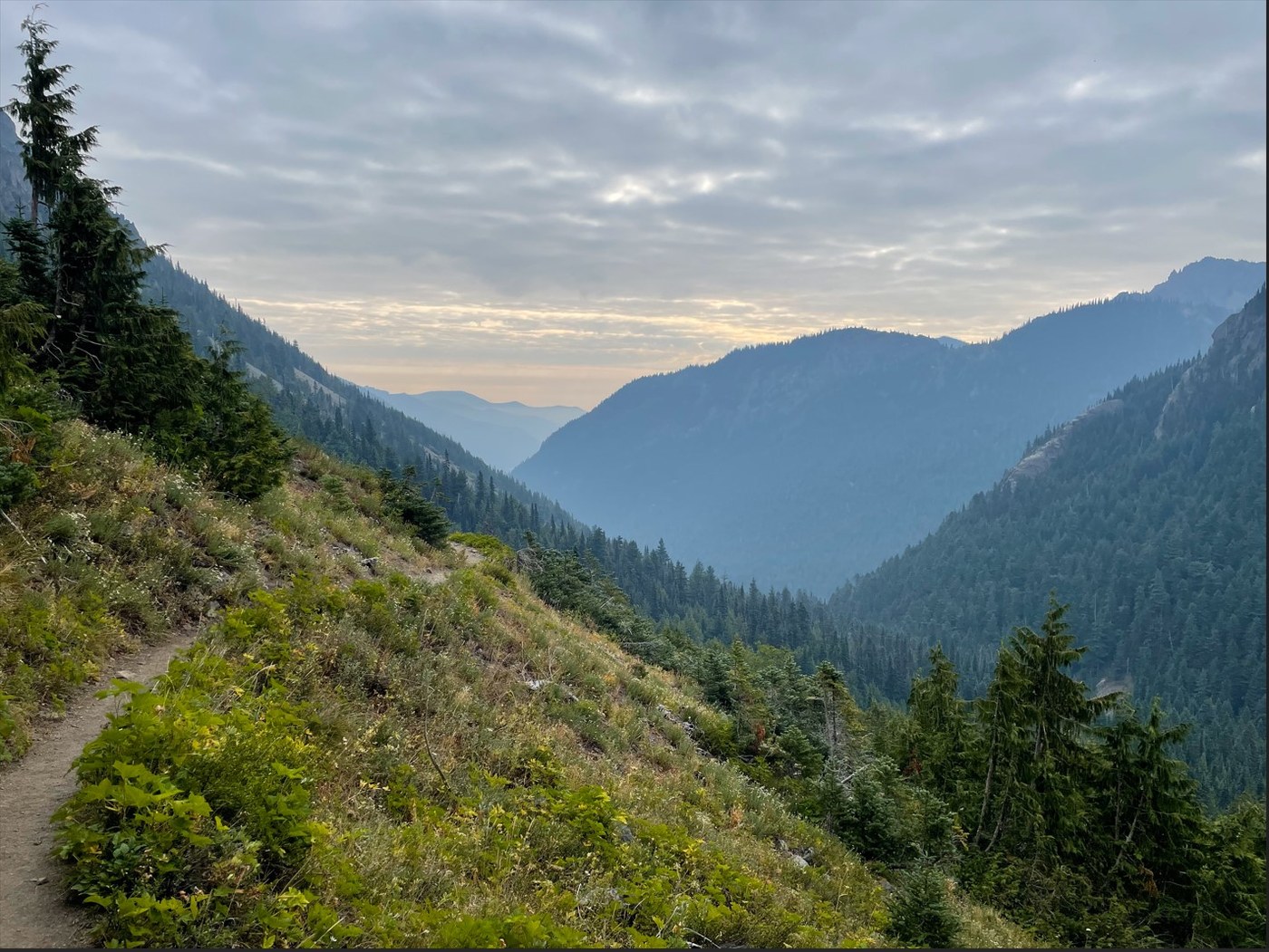
Did this hike as a quick overnight trip. I got to the trailhead just before 10 am, and the lot was about three quarters full, not bad for a Thursday. Everybody always wants to know about the condition of the pit toilet at the trailhead, and it was fine, had plenty of TP and was well maintained, though smelled about like you'd expect.
The trail is in great condition; there are a couple of blowdowns to climb over, but overall in very good shape. The forecast was for clear weather and the day started out bright and sunny, but not hot. Unfortunately, in the early afternoon the wind shifted and brought in some low overcast and quite a lot of wildfire smoke, probably from a new fire that just started near the Hood Canal. That meant I arrived at Camp Mystery around 2:00 in kind of a smoky fog. There were three or four groups already there, but several good established campsites still available. Lots of good water there.
I relaxed a while and made an early dinner at Camp Mystery, and by 6:00 or so the overcast had cleared a bit, so I walked on up to Marmot Pass. Again, because of the smoke, the view was pretty limited. The peak of Buckhorn Mountain was still in the cloud, so I didn't make that climb. There are several good campsites just a quarter mile below the pass, but those are dry so be sure to get water at Camp Mystery if you decide to go that far to camp. There's also a very nice camping spot only 2.7 miles from the trailhead if you're looking for a shorter hike in, it's near the river, heavily forested, quite a pleasant spot.
I came back down Friday morning to a much more crowded trailhead, most of the spaces full but still with plenty of parking along the road to the east and west of the trail.
This trail earns its "Hard" rating. After the first mile and a half there is precious little level ground, and the trail is a steady climb all the way to Marmot Pass, some parts steeper than others.
If you're looking at Green Trails map 168SX, this trail is on side B, and is marked trail "833.1" - the sign at the trailhead is marked "Trail 833" but there's a sign at the top of Marmot Pass that calls this "Big Quilcene Trail 833.1" and the trail back down the other side to the west "Boulder Shelter 833.2."


Comments