The drive to this trail was long and full of potholes that could be unavoidable; we got up just fine with a Subaru, but anything with lower clearance would be dicey. There is a turnaround at the end of the road that a couple cars could park at, but we parked at a wider area about 100 yards lower with room for more cars.
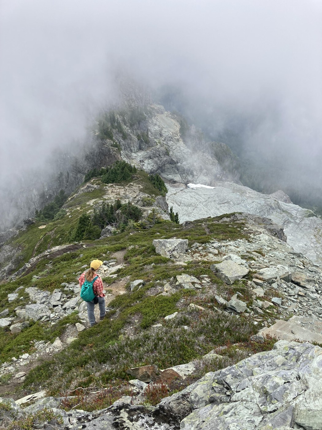
The first mile of the trail was smooth sailing, featuring plenty of blueberries and intermittent views into the Sauk river valley. The trail turned up through a gulch between White Chuck and Northwest Peak, where it became somewhat harder to follow. On our ascent, we climbed out of the gulch too early and had to make our way up to meet the trail. The correct way out isn't obvious, but watch for cairns that mark turns. Once the path reached the ridge, the way forward was relatively clear, but if you get off of the trail it can be somewhat treacherous, so take care.
The summit comes just after a step down that requires both hands but is good solid rock. We found lots of bench-shaped rocks so, despite solid cloud cover, we found it a good place to sit and have lunch. The way down involved more careful scrambling and routefinding; knowing how we had come up helped, but we still lost the trail a couple of times and had to double back to find it again. At the bottom of the gully, the trail evened out and the last mile was a steep but straightforward descent to the car.


Comments