My partner and I made this a 3-day, 2-night backpacking trip and shifted our departure date to avoid the wet weather coming in.
Day 1: East Fork Foss Trail to Necklace Valley (Jade Lake)
Arrived at the TH around 7:50 am on Saturday morning and it was full! We weren’t surprised and had to park down the road a bit. Bathroom at TH and relevant trail beta bulletin posted. First few miles are pretty mellow and we had to laugh at the posted trail description that the “first 5 miles are well maintained,” because it was pretty overgrown in a lot of places and we were whacked by lots of flora and some stinging nettles as we powered through. There are five campsites along this 5-mile stretch and lots of water access points. You’ll cross a bridge and then 2 additional log bridges over running creeks and streams.
As you approach the third log crossing, this is when you begin the long slog of a climb up to the lakes in Necklace Valley. You start going up a small boulder field, head through steep wooded sections, and then an open exposed component before entering back into the woods. All of your elevation is in this stretch. You’ll pass two other campsites and then approach the last memorial log bridge before continuing to climb through steep wooded and rocky (at times) terrain. I’m not convinced the mileage posted to AllTrails or even at the TH is accurate. Garmin watch logged 8 miles to Jade Lake and we did not take any side trips this day.
We passed a lot of groups and trail runners heading out and eventually made it to Jade Lake around noon. There are pretty much only two campsites here, at the south end of the lake. One is on a built up platform and has room for two tents and the other is on a small island between the lake, creek, and trail. We chose this smaller site and had a lovely view of Jade all afternoon and evening. The bugs were annoying but we didn’t feel afflicted by them. They were kept at bay with Deet applications and a bug net in the evening.
Day 2: Jade Lake to Tank Lakes
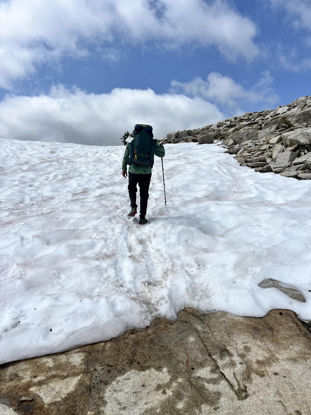
Hit the trail up to Tank Lakes at 10 am and walked through the main trail past Emerald Lake, spotting the shelter and taking advantage of the wooden, open-air pit toilet. The trail through the valley is beautiful - walls of mountains all around you, meandering trail, wildflowers, streams, and waterfalls. We continued to the section where the trail could continue up to La Bohn Lakes (we considered this as part of our day hike but it truly looked menacing up alongside the waterfall… maybe a trip in the future). We took the right to continue up to Tank and it’s all talus and loose rock until the top. We followed some cairns that led us astray… We used our navigation and made it safely back to where we needed to be in the end. We were able to stay on trail on the way out just fine. My advice: stay to the right of the creek and when you see an opportunity to go up the rock ridge, do so! You want to be atop of the ridge for most of the trek here. This stretch is insanely beautiful with towering peaks in front, next to, and behind you. Puddles of snow melt create a beautiful juxtaposition with the rocky moonscape. There are some snow patches to cross but they require no traction at this time. As you cross the final snow patch you start to see the Chief Mountain peaks with the first and largest Tank Lank in the foreground. We logged 3.1 miles on this stretch.
Words can’t really do this area justice, but we had a really lovely time exploring the boot paths, seeing and hearing various pikas and marmots, and even taking a dip in the lake. There is still some snow past the main lake. Campsites seem bountiful here and we had a hard time deciding. There were only two other groups up there with us on Sunday. As the sun set, the clouds rolled in.
Day 3: Tank Lakes to East Fork Foss TH
Woke up early to a totally socked in lake. No views remained and the fog turned to mist, then turned to rain/drizzle. We packed up and hit the trail by 8 am. Slow going for the first bit while we searched for cairns, taking the correct trail out through the talus field. The last descent down from the ridge line to the creek is steep and there is some loose rock. We heard significant rockfall and watched it tumble in the distance behind us and kept going. Trail out was wet and we were soaked, mostly from wet vegetation brushing up against us. We stopped in the shelter for a snack and once again for a water refill and lunch once we were out of the steep downhill. We were back at the car just around 3 pm.
TL;DR: Trail to Necklace Valley is brushy and overgrown. Elevation begins immediately after the 5th campsite log crossing and is relentless until Jade Lake. Finding campsites did not feel daunting. Hike to Tank Lakes is through a talus field with some snow remaining. Bugs and mosquitoes were present.
Trip Report
Tank Lakes, East Fork Foss - Necklace Valley — Monday, Jul. 29, 2024
 Central Cascades > Stevens Pass - West


Comments