Update: As of 9PM July 19, Cascade River Road is closed at Marble Creek due to the Pincer 2 Fire, started July 18th. I was through here at 6PM with no hoopla, they will have to let the campers farther up straggle out.
"...extends about 3 mi. near the river, then the route follows the U.S.G.S. trail in this magnificent wild valley. The trail climbs steeply at about 4 mii. to detour Box Canyon, open timber (4600') is found near the outlet of Berry Patch Creek's basin. A grade climbs to Mertensia Pass (4940'+) - meadow camping. Continue upslope in open forest to Salix Creek and the old lateral moraine at 5200 ft. (est. 8 mi. from road). The streamflow gaging station below the lake is government property."
Cascade Alpine Guide 1977
Took this out to the brush-view rock, above Box Canyon, maybe 6 miles (road walk adds a little under 2 miles to the distances in the CAG). USGS map Someone since I last visited has cut out all the logs - really big ones, too. A few are cut like a tunnel, imagine how hard that was on their arms! At one point I had to backtrack a quarter mile to retrieve the rake I forgot after tying my shoe.
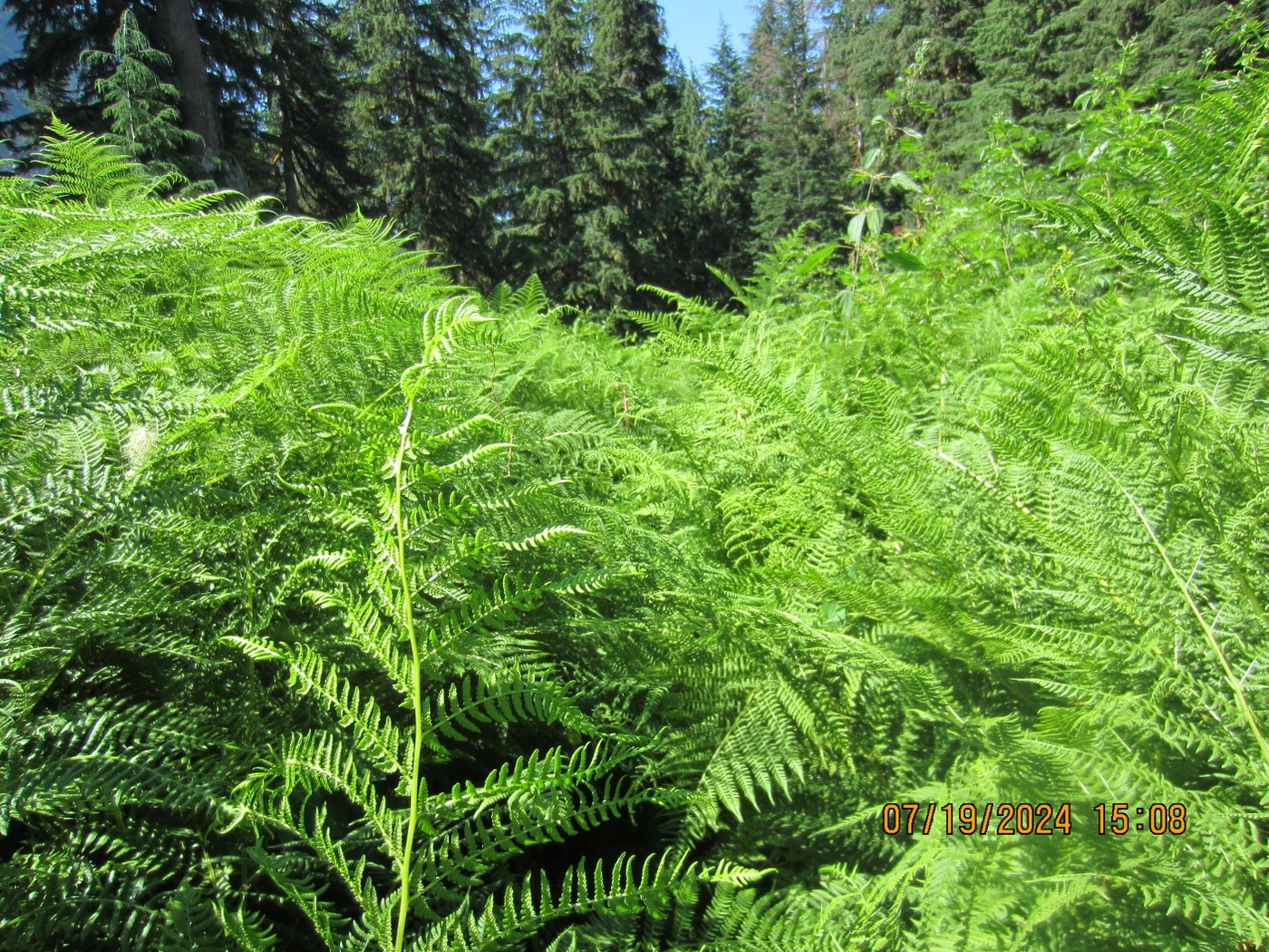
Trail is there the whole way, nice in places and very brushy in others. Over your head. And the prickliest, stingiest stuff. Some of it went right thorough my pants, my unprotected hands. Too brushy for even the ticks!
Just before the rock you'll notice a lower trail R blocked with sticks, this is the one I found the first time I was here, and I believe to be the original. Only half-ass looked for it today, but with the pile of sticks it can't be missed. Turns out Porcupine Woman piled the sticks, her Report from a couple years ago describes this area in detail. They made it a little farther from the rock, trail finding can be easier with 2 people. These guys made it through, 1 way downhill.
I had my overnight gear and would have camped and looked another day, but the nearest possible camp was over an hour back. A small creek is crossed a few minutes before the lost bit, but no flat places to lay. 5 hours in, 4 out. I added a few flags, raked a bit. More than anything it needs more feet on to beat down the soft stuff. I will figure this out!
I did more research writing this Report than I did preparing for the hike, time to go back! If anyone is interested I would do this again next Wednesday, create a campsite near the stream (or use camp near rock from PW's Report), work on the trail for a few days. Forecast cooler temps will be nice. Comment below, or I may go somewhere else.
Trip Report
South Fork Cascade River — Friday, Jul. 19, 2024
 North Cascades > North Cascades Highway - Hwy 20


Comments
Abam on South Fork Cascade River
I would love to join you for such an endeavor; however, I think the Cascade River Road is closed at the Marble Creek Campground (on July 24, all Mt. Baker-Snoqualmie Campgrounds will probably be closed.
Posted by:
Abam on Jul 20, 2024 12:11 PM
C P on South Fork Cascade River
Where did you see about the road? You have access to more info than us mere mortals.
Posted by:
C P on Jul 20, 2024 12:39 PM
Eldon Jacobson on South Fork Cascade River
FTI. All the closure information is posted on the Forest Service Facebook page. Check out this hotlink: https://www.facebook.com/MtBakerSnoqualmieNF?comment_id=Y29tbWVudDo4NjY5Njc4NzU0Njg2MTdfMTU3NDMwMDkzOTc4MjM1MQ%3D%3D
Posted by:
Eldon Jacobson on Jul 20, 2024 07:38 PM
Eldon Jacobson on South Fork Cascade River
I'm hoping to hike this trail with family and friends on the 3-day Labor Day holiday weekend. But if the fire burns anywhere close to the trail the Forest Service closes the trail for two years.
Posted by:
Eldon Jacobson on Jul 20, 2024 07:42 PM