Pear Butte was hike #1 of two that I did over the 4th of July holiday. I stayed at the Bumping Lake campground where I was able to make a reservation. There are many pull-out camping spots on the way into Bumping Lake campground on the Bumping River Road, but I didn’t know that before, since I’d never been there. The campground is the usual fare, but there is an excellent boat launch and sandy beach area.
The pavement ends at the turnoff into Bumping Lake campground, the trailhead for Mt. Aix and Pear Butte is about 4 miles further south down the rocky and pot-holed FS Road 1800. I have a Subaru Outback and it still took me about 25 minutes from the campground to the Mt. Aix trailhead where I began my hike of Pear Butte. The trailhead is a maybe another 100 yards down the road, but I chose to walk it since the parking area was so big at the Mt. Aix trailhead.
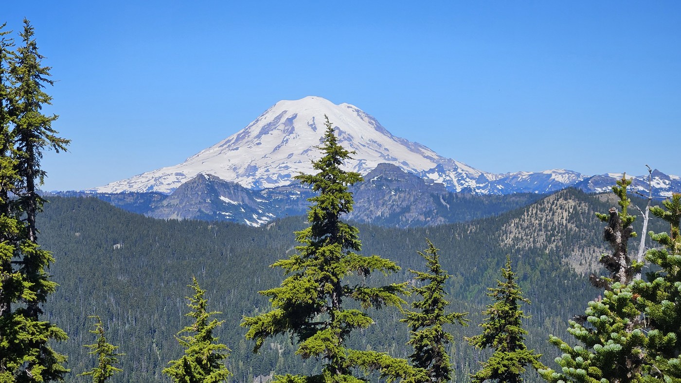
There is no water along the trail to Pear Butte, so I carried about 80 oz of water and was rationing it on the way back on a high 70s day. The trail looks seldom used, has many blow downs, and the farther I went, the more I had to ask “if I was a trail, where would I be.” A couple times I ended up in very loose crappy rock traverses trying to follow what looked like a boot path, but was probably made by a goat! I decided I didn’t have any business there, especially by myself, and quickly went back up into the trees. Better to bushwhack than to fall down a hillside. The last stretch to actually ascend Pear Butte consisted of bushwhacking, crossing or avoiding snow patches in the shady woods. It was slow going. I finally reached the summit block and was greeted by big views of Adams, Saint Helens, Rainier, but also hungry gnats, mosquitos, flies and ants. Even with my sprayed clothes and body, I got a few bites. After a far-quicker lunch than I would have liked, I turned around. I never saw another person on this hike.
Final stats on a very hot day: 12.5 miles, 4,372’ elevation gain and 8.5 hours of a very leisurely pace since I planned to do Mt. Aix the next day.


Comments