We were a party of 2 adults and 1 dog that started from the Upper Big Quilcene TH at 1:30pm on 7/2. Parking lot was full with a few cars parking on the road side. Most vehicles should be able to get there as pot holes were minor.
The day started cloudy and foggy. Rhododendrons were blooming around 0.5-1 miles. Several camp sites dotted along the trail - a couple around 1.5 miles and also 2.5 miles in, they were nice tranquil ones by the creek. WTA crew was working on the trail around 2 miles in (Thank You!!). There were already quite a few campers at Camp Mystery by the time we reached there around 5pm, and it was almost full (8 out of 10 sites we saw, it's possible there are more behind trees/alcoves we did not explore) by the time we headed down early next morning. Some sites were bigger and could accommodate multiple tents. Like others mentioned, this was the last area to filter water before the pass.
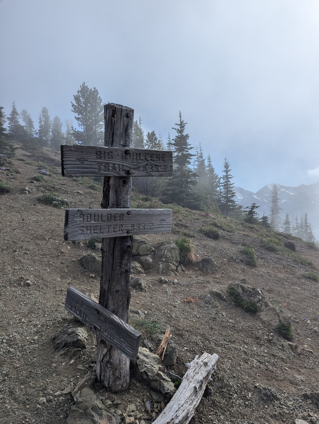
It was still foggy by the time we reached the pass, but not as dense and we could see some peek-a-boo views of the peaks. There were a couple camp sites right below the pass and a social trail right before the junction that likely would lead to more site(s) but we did not explore that way.
We decided to go left up toward the ridge (on my map it's called Boulder Ridge Way) at Marmot Pass junction. There was one small area soon after the junction up the ridge for camping, but it's already taken, so we continued upward, a slight scramble in the fog with sounds of marmots screaming in the background. Once we reached a plateau area, there were some camping spots (one larger one that could accommodate 3 tents, and a couple smaller areas), and those would get taken up quickly. Views up on the ridge were gorgeous. Clouds/fog were coming and going but moving enough to allow us to see the surrounding peaks.
It dropped to around 35F at night. But the clouds/fog were completely cleared by morning time. Once the sun came up, it quickly warmed up. We debated whether to go up Buckhorn mountain, but ended up deciding to save that for future endeavors.
It was sunny on the way out so we got to see the valley/mountains that we did not get to see the day before. Flowers were blooming nicely along the way. Bugs were minimal. We came back to a parking lot that was nearly full by 10:15am on 7/3.


Comments