It turned out to be a long day of route finding and some postholing above 5000 ft. Given all the factors I encountered, this was the most difficult so-called "hike" I have done in several years. I should have paid more attention to Birb’s trip report from May 29, 2020, instead of relying on any map to show me where the trail was. The trail is overgrown in spots until the unnamed drainage crossing at 3400 ft., but not too hard to find a footpath until that point. After crossing the drainage I thought I had a foot trail but it disappeared and didn’t return until the obvious trail on the talus slope near 4900 ft. I think there may be hope finding the trail earlier if one stays a couple small ridges to the north from where the trail is depicted on the map. Needless to say, this hike is only for experienced hikers/scramblers who can navigate overland on somewhat difficult terrain.
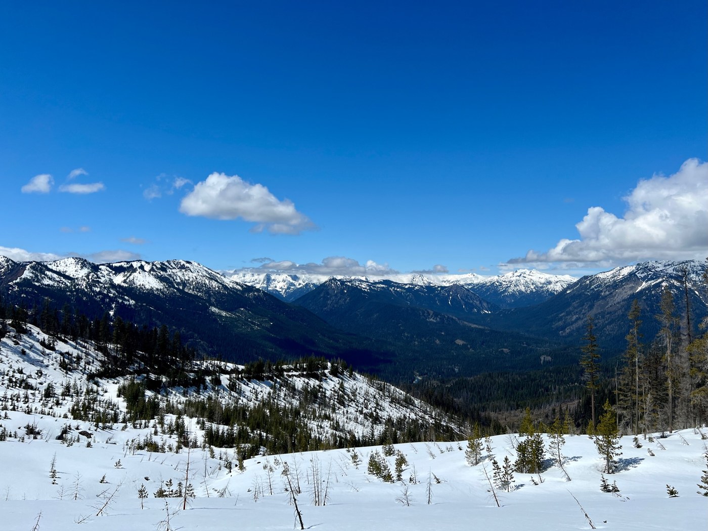
I spent the last 700 ft. of elevation up to Sasse Mtn. postholing above my knee intermittently, but also needing my ice axe for stability across snowfields that I did not want to lose my balance on. The summit of Sasse is an old burn and not a bare summit, but there are plenty of nice views.
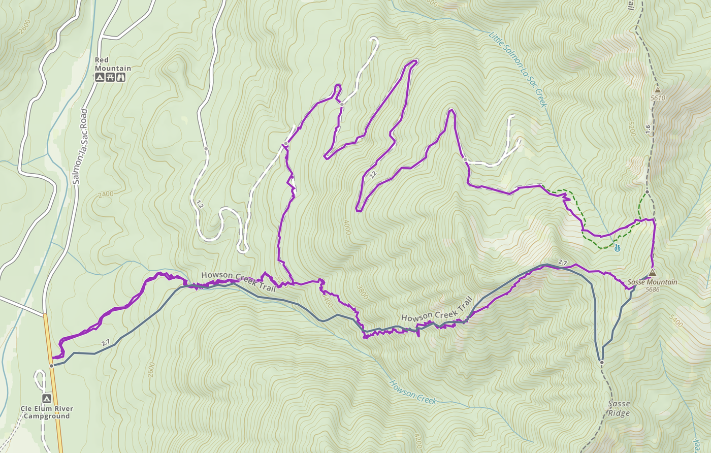
Because the way up above 3400 ft. was so difficult to navigate until the talus, I decided—though it would be a longer distance—it might be easier to loop back to Howson Creek from the summit of Sasse Mtn. via old logging roads (NFD Road 128, also on the map) to the north on the other side of the main ridge, initially following the Sasse Ridge Trail to the north for a small bit. See map image of my route.
The postholing was easier going down, but when I got to the logging road I still had a couple miles of difficult travel where snowshoes definitely would have helped speed things up to get down to about 4000ft. and easier snow and ground. One last bit of struggle was getting from NFD Road 128 back to the Howson Creek Trail. At 3200 ft. the map shows a logging road connecting south to the Howson Creek Trail. This very old road was very overgrown with alder in several places, but I was able to keep the grade.
One last note—crossing Howson Creek at the first mile was not difficult. Easy to do with proper footwear and gaiters and one good placement in shallow water.


Comments