

We started out at 9am from the white river falls trailhead, on the indian creek trail. 2.2 miles out, we passed a newly put-up bridge over the indian creek, putting us on the northern side of the creek. We had another 3 miles of clear trail until we hit massive overgrowth and obscured trail. This lasted about 5 miles until the final ascent to the PCT. It was not a pleasant experience. Expect your legs to get pretty thrashed.
Once on the PCT, a severe damp fog rolled in, but the 3 or so miles were easy. We took the junction east at white pass, taking us another few miles up to the lip of the basin. The low visibility made the boulder fields a slow process, but we found a camp a mile or two in.
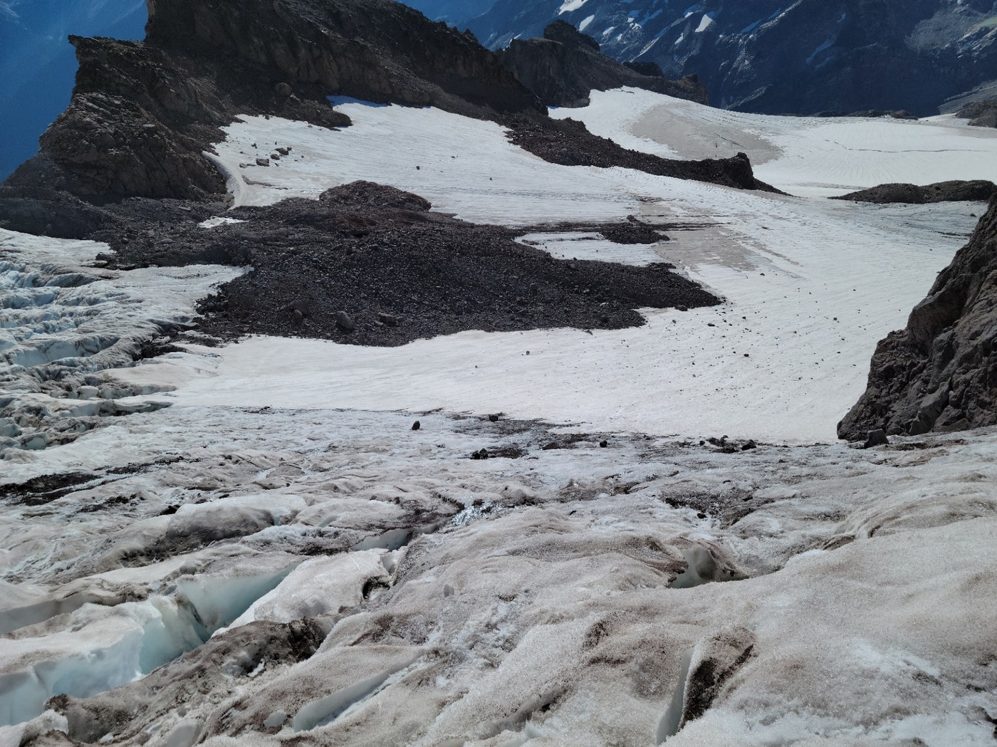
The next morning we headed out around 6, moving across the basin and up through glacier gap. Total bluebird skies gave us a great view of the disappointment cleaver route all the way up the southern spine of the mountain. It was easy going along the spine, choosing to skirt across the glacier instead about halfway up.
Once we reached the headwall of disappointment peak and crossed the Gerdine glacier, moving up to Cool glacier became an obvious problem. The pitch was steep, and Cool glacier was in pieces coming over the lip, forcing a narrow westward ascent up through rockfall. We foolishly pushed up to the top with my friend on crampons and me on microspikes, and it was sketchy. When I topped out, I could see that the time taking to summit, combined with the quick warming of the glacier, would prove a very dangerous later descent. I made the quick decision to turn right around and carefully drop back down.
Once safe below the wall, we returned all the way back to the parking lot that night by 9 pm, clocking in 30 miles that day, and 20 miles the previous.
Without Ice tools, a rope, and some screws, this route appears to be no longer a safe option for this season. Regardless, the views are unparalleled, and we had the mountain to ourselves, probably due to N fork sauk trail being closed.


Comments