SUMMARY: I did a one-nighter to the Scottish Lakes area for the first time ever - what a treat! I went on a Monday - Tuesday, so I saw very few people. There were three tents at Lake Ethel, and one hiker sitting by the lake. I saw three people on the Roaring Creek Trail above Lake Ethel, probably returning to their camp. Saw two more day hikers between Lake Julius and Loch Eileen, my guess is they were coming from the Alpine Lakes High Camp but I'm not sure.
ROAD / TRAILHEAD: The road to the trailhead definitely gets a bit rough so I don't think I would recommend it for a low clearance vehicle. Even in my Subaru I had to really watch my line since there are some rocks sticking up pretty high above the roadbed. At one point the road forks near the power lines - the official road goes left, but if you go right (like I did), it will eventually get you back to the same road. The trailhead has parking for probably at least 10 cars, but no toilet.
BLOWDOWNS: There are many blowdowns in different sections of the trails I hiked. Most aren't too hard to deal with, and some have clearly been there a while based on the way trails around them. Here's what I counted:
- Below clear cut: 16
- Above clear cut to Lake Ethel: 26
- Roaring Creek Trail toward Lake Julius: 40
- Lake Julius to Loch Eileen: 4
- Loch Eileen to Lake Donald: 3
TO LAKE ETHEL: The trail to Lake Ethel is consistently up, up, up, gaining about 3300' and then losing about 200' to the lake. As others have said, it's really a tale of three trails - the first being switchbacks in the open woods, the second being through a clearcut with three logging road crossings, and the final being a gentler ridgetop trail in older woods. The lower section is a bit brushy in places, but it's not too bad. The nicely-built switchbacks keep the elevation gain manageable, and I actually enjoyed the clearcut section (heresy, I know!). It has great views and a steady breeze to keep you cool. But the real treat in this section (and throughout this hike) are the amazing rocks. I'm no geologist but I loved seeing the rosy quartz rocks and the mica-infused rocks sparkling in the sun. Lake Ethel is just a few minutes off the trail, and worth a stop even if you're not staying there. Several very large campsites near the lake and a privy. It's also a good day hike destination, it took me about 2:50 to reach it from the car, with a heavy pack on. There are tons of ripe blueberries and huckleberries around Lake Ethel.
TO LAKE JULIUS: The Roaring Creek Trail goes up to the ridge next to Lake Ethel then follows along the top of it before dropping into the Julius / Eileen basin. Even though Loch Eileen is just over the ridge from Ethel, it's sort of a long way to get there. The trail is gentle though with nice switchbacks again, and once you get up on the ridge the views really open up. There are no views of Lake Julius or Loch Eileen from the ridge, unless you go off trail to the south, which is certainly easy enough to do but you need to be confident in finding your way back, of course. As noted above, there are a TON of blowdowns in this section, mostly in the part where the trail drops off the ridge down into the basin. Lake Julius is a fairly large lake but surrounded mostly by forest, so not quite as scenic as the others. There is a toilet but I didn't check out the camp site situation. It took me about 1:20 to get from Lake Ethel to Lake Julius.
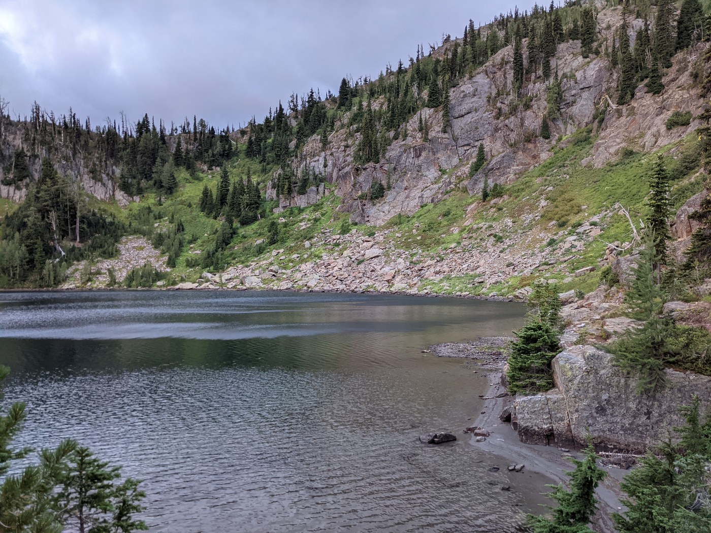
TO LOCH EILEEN: The way up to Loch Eileen does gain some more elevation (about 300') and is a bit steep in parts, but it goes quickly. It took me about 30 minutes from Lake Julius to Loch Eileen, including the hike along Lake Julius. Loch Eileen is a beautiful alpine lake, with a picturesque outlet running slowly through sandy beaches and a flower-filled meadow. High cliffs and talus slopes surround the lake on three sides. I set up camp in the primo site on the other side of the outlet with a view of the lake, and counted at least three other smaller campsites. There is a toilet that's kind of out in the open but it is on a side trail. This lake would be great for swimming or wading as there are some deeper areas and some sandy shallower areas by the outlet. As far as I can tell, it's always windy here - it was howling down the valley the entire night, and super windy in the morning for my breakfast. The clouds were constantly pouring over the adjacent peaks down into the basin, though generally dissipating as they did, and letting some sun through from the east.
TO LAKE DONALD: I visited Lake Donald twice, once after my dinner for sunset, and once the following morning on my way out. The trail would be a bit tricky to follow, except for the cairns stacked every 10-15'. There are a few places where it is a bit of a scramble, but generally it's pretty easy. You'll need to climb on some rocks here and there, so would not be ideal to do in wet or snowy conditions. It only took me about 25 minutes to get up to Lake Donald without a pack on. It's a good after-dinner adventure, though it is about 350' up from Eileen. Lake Donald was my favorite of the four lakes, sitting in a high bowl right below McCue Ridge. On the west side, it has the most amazing swimming beach I've ever seen - sandy shores leading into lovely deep water. Some small camps on the north side, but nothing as deluxe as at Loch Eileen. There are several awesome spots to jump into the deep cool water off the rocks.
HIGH ROAMING: On my way back I elected to go off-trail from Lake Donald, around the ridge west of Loch Eileen, over to the saddle between Eileen and Ethel, then up the ridge on the other side of the saddle back to the Roaring Creek Trail. Mileage wise, this is shorter than going back around Lake Julius, but I cannot recommend this return route to anyone other than rock climbers. The last bit before the saddle is extremely cliffy and involves lots of VERY HAZARDOUS class 3 scrambling. NOTE: it is an easy ridge walk to get to the Eileen / Ethel saddle from the Roaring Creek Trail on the east side - the dangerous part is the west side of the saddle.
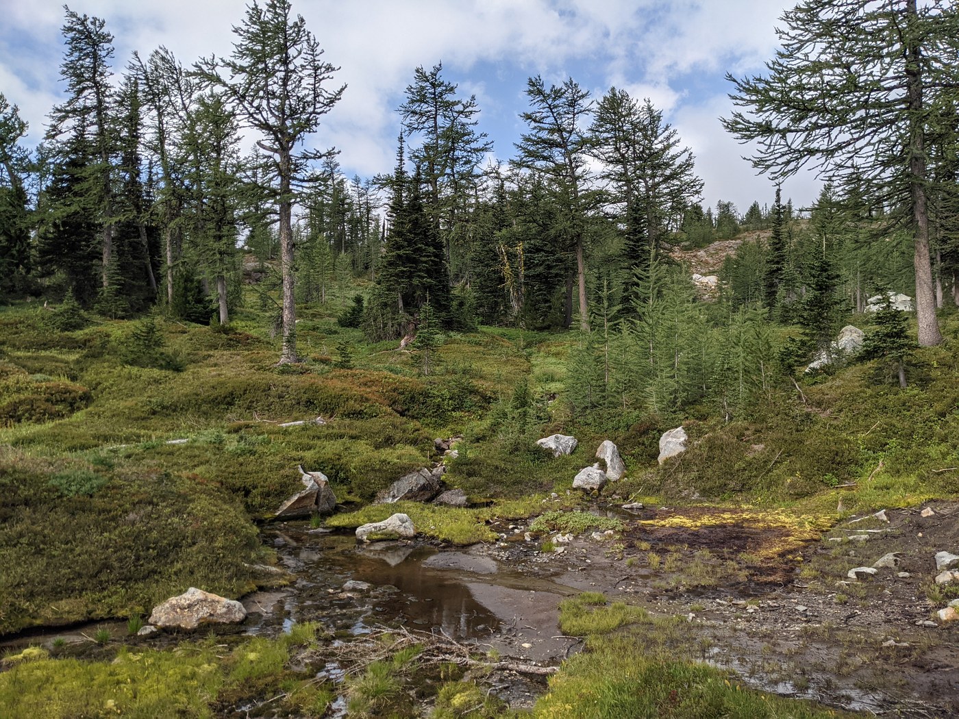
However, the first part from Lake Donald before you reach the saddle is lovely high-altitude roaming that anyone can do with some route-finding experience. You'll need a topo map to know where you're going, but it's not too hard to just follow the gentlest slopes up. There are some bootpaths here and there, but I'd recommend a GPS as well to help retrace your route. I even spotted a few cairns up here, but they're few and far between and don't really do much good. There is a lovely "secret tarn" and lots of high meadows, interesting rocks, and great views of Loch Eileen. Also easy hiking up to the Chiwaukum summits if you're so inclined, though I couldn't see any of them due to the clouds. Be careful on the edges toward Loch Eileen, there are some huge cliffs in this area. This would be an awesome day adventure from Julius, Eileen, or Donald.
BUGS: Very few noticeable bugs. This area seems perpetually windy so I didn't need any bug repellent or my head net. I suspect if the wind died down, the bugs might around but I didn't see them.


Comments